Recreational Area El Peralejo – Recreational Area Fuenmaandor


Description
Linear route connecting two classic Sierra Magina enclaves: the El Peralejo Recreative Area and the Fuenmayor Recreative Area. The itinerary ascends between oak and pine trees towards the upper side of Magina, passing next to the Cortijo del Peralejo and the Cueva de la Solana, and offering views over Mata Bejid and the limestone walls of the saw. After coronating the upper area, the road descends to the valley of the Zurreon and ends in the spring and the shadows of Fuenmayor.
Is part of

Datos de la ruta
ROUTE NAME
Área Recreativa El Peralejo – Área Recreativa Fuenmayor
TRAIL TYPE
--
DIFFICULTY
Alta
TOTAL DISTANCE (IN KILOMETERS) 4,8 km
-
Stretch of asphalt or concrete: --
-
Section of track, forest road, or dry watercourse: --
-
Trail section: --
-
Sections of livestock trails: --
HUSO 30S
ESTIMATED TRAVEL TIME
ROAD SURFACE TYPE
Forest track
MAXIMUM ELEVATION CHANGE 875mm
--
--
DIFFICULTY. RATING ACCORDING TO THE MIDE METHOD
--
MEANS
Severity of the natural environment
--
ITINERARY
Route guidance
--
DISPLACEMENT
Difficulty moving about
--
EFFORT
Amount of effort required
ACCESSIBILITY TYPE
TIME OF YEAR
SIGNALING
No
MORE INFORMATION
TUNNELS
STEEL VIADUCTS
METAL WALKWAYS
WATER POINTS
PONTOONS
GUARD BOOTHS AND BARRIERS
SWITCHMAN'S CABINS
CYCLABILITY
RECREATIONAL OR SPORTS AREAS NEAR THE TRAIL
AID STATIONS
LINKS TO OTHER TRAILS
SHELTERS
RECOMMENDATIONS
OTHER INFORMATION OF INTEREST (ARCHITECTURAL OR HISTORICAL-CULTURAL, GEOLOGICAL-ECOLOGICAL)
Technical Description
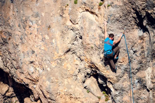
A linear and very complete route in the heart of Sierra Magina that links livestock memory, height dehesa and water. A serene tour, with progressive rise to the Puerto de la Mata and a fresh descent through umbria and springs, ideal for enjoying the landscape without haste. The itinerary begins in the surroundings of Mata Bejid, next to the Recreative Area of El Peralejo, in a landscape of oaks, complaints and young pine. From the beginning there are the traces of the traditional use of the mountain: bozos of pastors, ancient horseshoe roads and small mallads that accompany the smooth rise on half the hill. The sidewalk unabruptly ascends at the foot of the limestone walls where today a ferrata track has been equipped, and it is exposed to the Cave of the Solana, small karmic coat excavated in the limestone, surrounded by lapiaces and dissolving fissures characteristic of the Magina relief. The road then links with a forest track leading to the Castlejo de Mata Bejid, remains of a medieval fortification that watched the passage between the countryside and the high umbria of the saw. This stretch crosses a dehesa of rare height, with oaks and complaints scattered over mountain pastures, a unique landscape at these levels. From here, the route continues to Los Prados, where a rezume feeds the Fountain of Los Prados, before facing the final ascent to the Port of the Mata, which marks the change of aspect. After the port, the route goes down the northern, cooler and more dark side. The pinar is closed, seasonal eruptions such as Hoya Lino appear and the environment becomes clearly wet. In the final section, the road approaches again the Zur-reon, whose jump can be shown after abundant rains, and the constant rumor of the spring accompanies the last steps to the Recreative Area of Fuenmayor, where the route ends. It is an itinerary that combines history, forest landscape and water, very grateful to travel it calmly and discover how the saw changes to every kilometer. General recommendations See the weather, especially in the surroundings of the Puerto de la Mata. Use mountain shoes with good grip; the sticks can be useful in the descent. It carries sufficient water and extreme caution in sections of track with loose stone and in humid areas close to springs.
We recommend