
Trail Navazalto
From the town of Chilluévar we will take the road that is headed to the swamp of Aguascebas, past the forest house of the Fresnadilla, to the left, is the panel of beginning of the path.
The Navazalto peak, located in the Sierra de las Villas, is an excellent look at the villages and landscapes of the Loma, Cazorla, County, and even the Sierra Magina region.
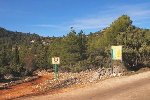

Wear clean water and adequate clothing and footwear. At the summit there is a cliff 100 m high. Ensure the potability of the water.
We started our way on the Mogón road shortly after passing the Fresnedilla forest house
From there, this path will take us through a landscape dominated in the first instance by irrigated crops and that has its end in the Alto del Navazo (1,356 meters). We will also enjoy the presence of a beautiful karmic terrain and a sea of coniferous, while the leonate vultures fly over our heads.
