
1. Viewpoints and forest landscapes of the Sierras de Cazorla, Segura and Las Villas Natural Park. A general tour of its forest legacy.
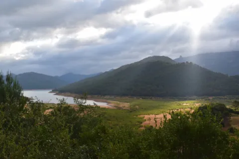
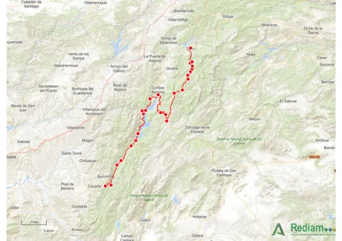
This stage is part of Mount Navahondona, one of the areas of the Natural Park with the highest concentration of elements of the forest legacy, mainly because here the mountain engineer don Enrique Mackay worked during the first quarter of the 20th century. After descending through the Guadalquivir valley, following the route of the woods, it reaches the reservoir of the Tranco, where we can see a very unique artifact.


The route runs within a natural protected space rich in flora and fauna, which can be damaged by incivious and unenvironmentally friendly behaviour. The regulations of the Natural Park prohibit both the collection of plants and the capture of animals. You can't light fire either. Along the course, there are different accommodation and restoration options.
Elements of the Forest Legacy Catalogue to be visited: Sheet number 1, 6, 9, 12.17, 32 and 44.
The starting point is located in the village of Vadillo-Castril. The latter is followed by the A-319 road that links the towns of Peal de Becerro and Hornos de Segura. We must take the detour located at the kilometer 31.7 and continue for 5 km by the JF-7091 until the entrance detour to Vadillo-Castril and the Training and Forest Experiment Centre.
The route has been broken down in stages, assuming that it will be of interest to cycloturists, although it could be carried out by car as it travels on roads open to traffic.
