Jaén – Puente de la Sierra – Otíñar – Carchelejo – La Guardia (C2)
Id
RUT-0019
Descripción larga
Circular route of medium-long distance that connects Jaén with the valleys of the Quiebrajano and the Guadalbullón, linking water, heritage and mountain landscape. The tour combines a progressive rise to the interior of Sierra Magina with a comfortable return through the countryside, passing through enclaves as unique as Otiñar, the Hazadilla Canyon and the natural views of La Guardia. A balanced proposal for cyclists looking for territory, history and variety of environments.
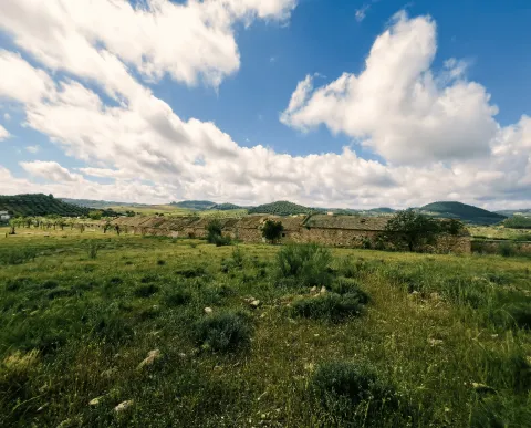
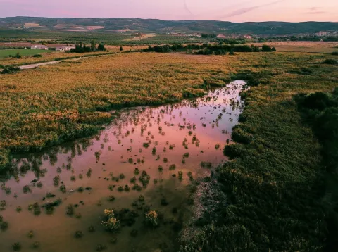
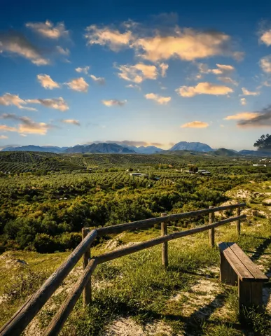
The route leaves Jaén, leaving the urban environment behind to roll south on secondary roads across traditional gardens and olive groves. From the first kilometers, the Castle of Santa Catalina is left behind as a visual reference, as the route enters the natural corridor of the Quiebrajano River, a clear transition between the Jiennense countryside and the first mountain foothills.
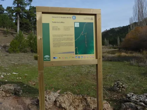
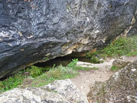
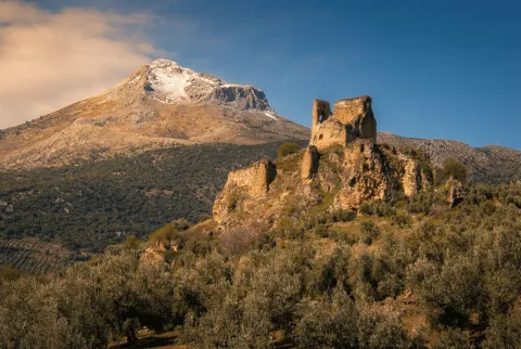
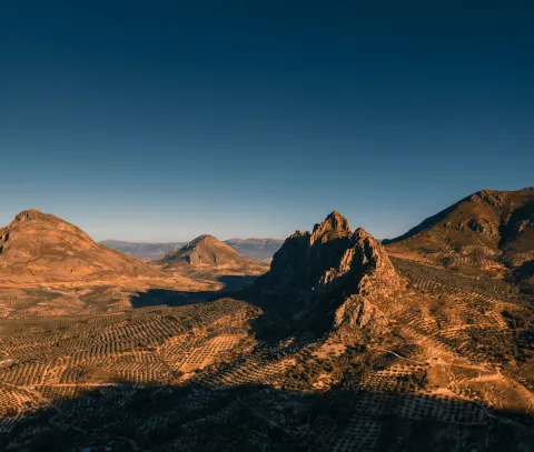
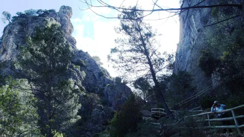
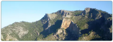
The passage through Puente de la Sierra, a historic recreation place linked to the water and the valley, marks the beginning of the most serrano stretch. From here on, the road accompanies the river between gardens, houses and limestone slopes, with a constant but grateful rise. In this area, the ruins of the Otiñar Castle, embellished on a rocky promontory, and the nearby Abrigo del Toril, one of the most unique sets of rock art in the surrounding area, are highlighted.
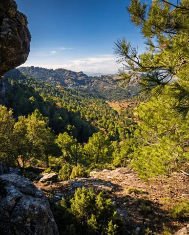
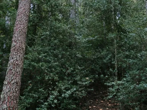
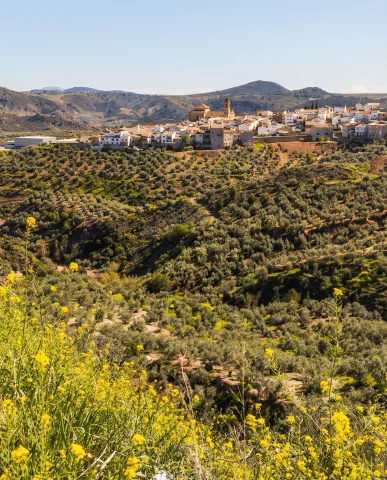
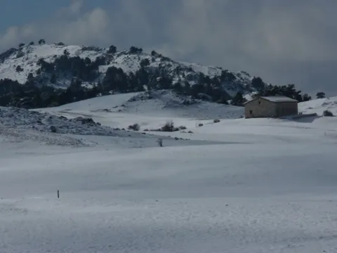
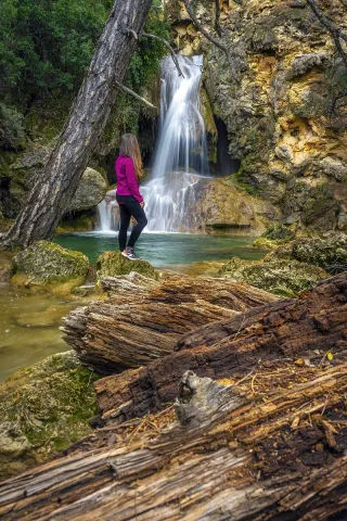
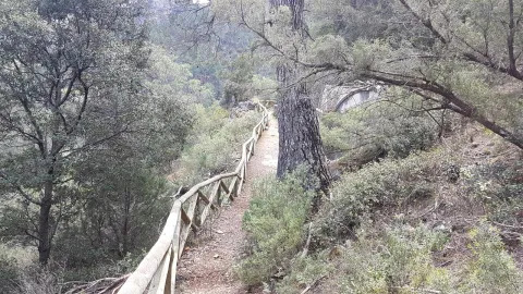
The rise continues towards the Hazadillas Canyon, a former livestock enclave and access door to the interior saws. The landscape becomes more mountainous: ravines, cascades and repopulation pines alternate with oaks and complaints, providing shade and a feeling of height. This section links with sectors shared with other cycloturist routes and finally leads to Carchelejo, a white core located on the edge of Sierra Magina and excellent balcony over the Guadalbullion valley.
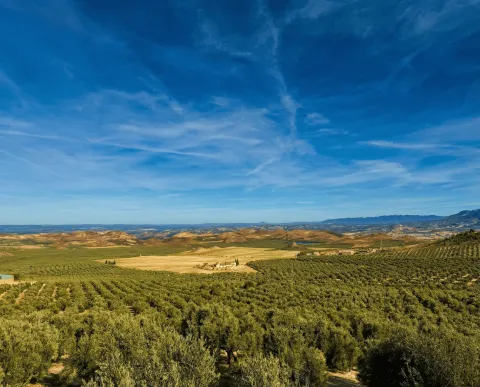
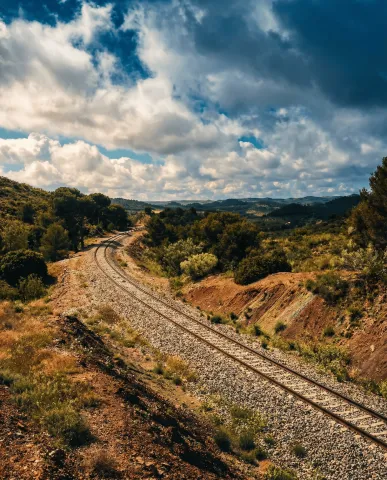
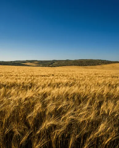
From Carchelejo, the itinerary changes its tone. The profile softens and begins a comfortable descent on more open roads, following the historical corridor of the N-323a, an old axis of communication between the saw and the countryside. The pedal is made fluid between endless olive groves, sharing for a few kilometers drawn with other cycloturist routes.
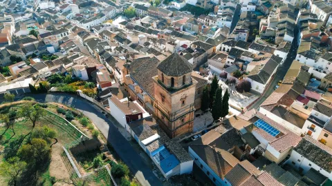
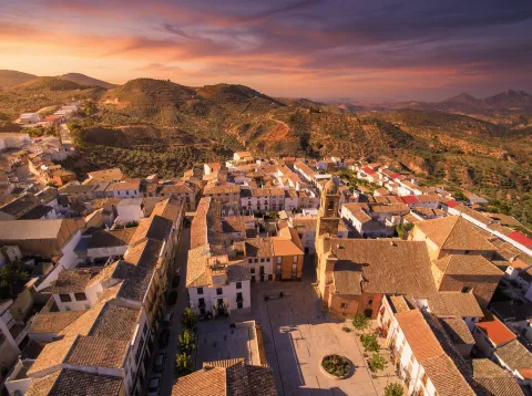
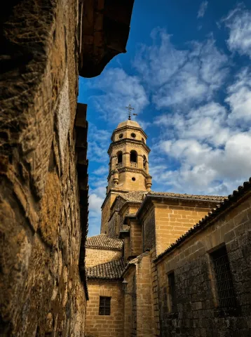
The arrival at La Guardia de Jaén, located on the top of a hill, adds a marked heritage component. Its medieval castle and the Renaissance church dominate a wide transition landscape, with open views towards the valley and the mountains. From here, the return to Puente Jontoya and Jaén is made by a favorable route, between gardens, cortijos and river vegetation, closing a circuit that combines nearby mountain, history and water culture.
General recommendations
Suitable route for cyclists with minimal experience on long routes. The meteorology should be reviewed, especially in the serrano section between Puente de la Sierra and Carchelejo. Attention in long-term and shared sections with time traffic. Take sufficient water and respect natural and heritage enclaves, especially in sensitive areas such as Otinar.
Breve descripción
Circular route of about 62 km leaving Jaén on the Road of Valdecañas towards Puente de la Sierra, it goes back to the Quebrajano valley to the ruins of Otiñar and ascends to Carchelejo and La Guardia on mountain roads, to return later to Jaén on the old N-323a, the service area El Oasis, La Cerradura and the Jontoya valley.
imagen
Image

Imagen principal
Desactivado
imagen
Image
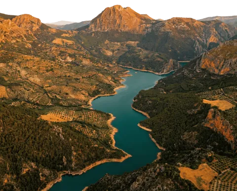
Imagen principal
Desactivado
imagen
Image

Imagen principal
Desactivado
imagen
Image

Imagen principal
Desactivado
imagen
Image

Imagen principal
Desactivado
imagen
Image

Imagen principal
Desactivado

Baja - Media
Jaén – Puente de la Sierra – Otíñar – Carchelejo – La Guardia (C2)
62,5 km
1575m
Desactivado
Tramo de asfalto o cemento
Tramo de pista o camino forestal
Tramo de vía pecuaria
Tramo de senda