Saltar al contenido principal

Caves Refugio

Submitted by brandcode_deweloper on
Id
8124859
Descripción
Descripción larga

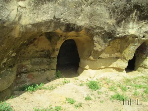
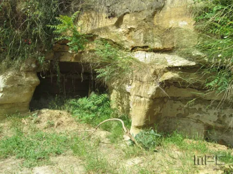
When Franco passed through Lopera in the 1950s he ordered that new houses be demolished and built for his tenants in the Pradillo Guijoso neighborhood, the front of the first body was finally only demolished. Some are currently abandoned and others have been occupied by Lopera's neighbours by keeping firewood or coal inside.

Breve descripción

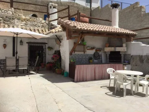
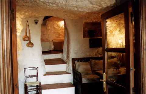
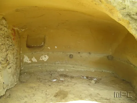
The 11 caves at the entrance were used as shelters during the Civil War. They date back to 1828 and had several bodies.

Telecomunicaciones
Teléfono de contacto
953 516 250
Ubicación
Código Postal
23780
Latitud
37.941620
Longitud
-4.209160
Dirección
Carretera de Porcuna
Distrito
Municipio
Ubicación en el mapa
POINT (-4.20916 37.94162)
Tipos de punto de interés
Imágenes carrusel
imagen
Image
Cuevas%20refugio%202.jpg
Imagen principal
Desactivado
imagen
Image
Cuevas%20refugio.jpg
Imagen principal
Desactivado
Imágenes cabecera
imagen
Image
Cuevas%20refugio%203.jpg
Imagen principal
Activado
Loading map
Preparing points of interest and routes...
Chato and Baltibañas Caves

Submitted by brandcode_deweloper on
Id
7983397
Descripción
Descripción larga

Location: West of the city centre.
Distance: 7.5 km.
Medium: In vehicle tourism and on foot.
Access route: by road and mountain road.

Breve descripción

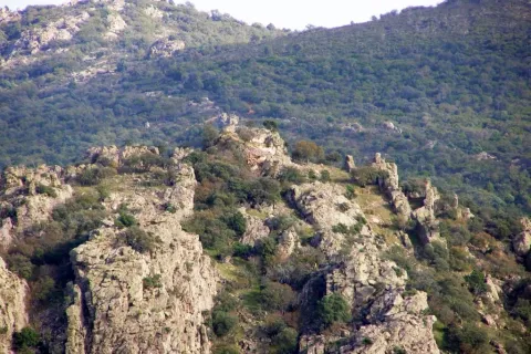
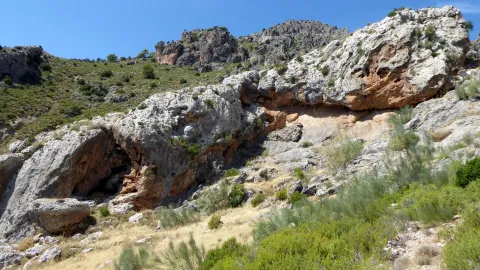
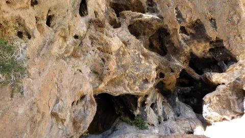
Natural environment consisting of a Mediterranean mountain area with high-value geological and geomorphological formations. It is only for experts in spelological activities.

Telecomunicaciones
Sitio web
www.belmezdelamoraleda.es/el-municipio/patrimonio-natural.html
Ubicación
Código Postal
23568
Latitud
37.724150
Longitud
-3.382370
Dirección
Av. Jaén
Distrito
Ubicación en el mapa
POINT (-3.38237 37.72415)
Tipos de punto de interés
Imágenes carrusel
imagen
Image
18431341Master.jpg
Imagen principal
Desactivado
imagen
Image
18431342Master.jpg
Imagen principal
Desactivado
imagen
Image
18431339Master.jpg
Imagen principal
Desactivado
Imágenes cabecera
imagen
Image
18431305Master.jpg
Imagen principal
Activado
Microsite al que pertenece
Loading map
Preparing points of interest and routes...
Cave of los Muñecos

Submitted by brandcode_deweloper on
Id
5867250
Descripción
Descripción larga

This Sanctuary of the Ibera era, along with another located also in Jaén, in the town of Castellar are very important and have provided the largest number of bronze exvotes, important pieces not only to know the work of this metal in the Iberian world, but to solve many other problems related to the faithful who approached the divinity in these places of worship, such as the type of religiosity, the forms of clothing, the jewels, weapons, the type of hair, etc.

From Collado de los Jardines more than 2,500 exvotes have come out, and from Castellar more than 2,000. The almost all of these objects are kept in the National Archaeological Museum of Madrid.

The exvotes (dolls) of this Shrine of the Collado de los Jardines are of the most varied, in them are represented faithful of all kinds: women, men, warriors, etc.
The latest research was based on the documentation of a historical population in the "Cerro del Castillo" located above the Sanctuary, with the consequent recording of materials and the documentation of 'work units' such as a Roman track, a wall and the environment of the solar that occupied the Iberian necropolis.

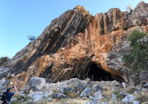
The Cueva de los Muñecos is located inside the Natural Park Despeñacolos, the municipal term of Santa Elena, within a ravine, built between colossal stone blocks, in which there are excavated several caves, the largest of which, about 50 meters deep, was probably the limit of the sacred enclosure. Within this cave today there is a water spring that probably should have existed already in ancient times. In the area there is today a Centre for the Interpretation of the Historical and Cultural Heritage of the Natural Park of Despeñacolos, as well as a path for public use that leads to the Sanctuary and a lookout in the so-called Cerro del Castillo.

Breve descripción

There is a place in St. Helena (Jaén) for all the neighbors known as La Cueva de los Muñecos, called for the number of votes (bronze figures) found in the area. It is the Iberian Sanctuary located on the Collado de los Jardines located on the A-6200 road that leaves from the A4 motorway in Despeñacolos to the town of Aldeaquemada.

Ubicación
Código Postal
23213
Latitud
38.388230
Longitud
-3.498410
Distrito
Municipio
Ubicación en el mapa
POINT (-3.49841 38.38823)
Tipos de punto de interés
Imágenes carrusel
imagen
Image
Cueva-de-los-Munecos-jaen-escondido-e1557137991914.jpeg
Imagen principal
Desactivado
Imágenes cabecera
imagen
Image
Cueva%20de%20los%20Mu%C3%B1ecos_SantaElena.jpg
Imagen principal
Activado
Loading map
Preparing points of interest and routes...
Cabrera Cave

Submitted by brandcode_deweloper on
Id
4281397
Descripción
Descripción larga

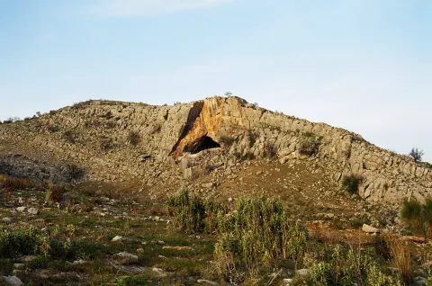
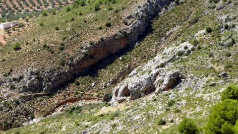
The site of the first archaeological remains dated from the Neolithic (4000 BC) in the town of La Guardia de Jaén. It was later used by the local inhabitants as a guard and poultry for the cattle from which it comes its current name: Cueva Cabrera.

On a blackened wall there is a red stain that can be a rock painting (cave paintings of the Cabrera Cave).

Breve descripción

It is located on the current road to the Allanada del Santo Recreative Zone.

Ubicación
Latitud
37.742568
Longitud
-3.693708
Distrito
Ubicación en el mapa
POINT (-3.693708 37.742568)
Tipos de punto de interés
Imágenes carrusel
imagen
Image
cuevacabrera.jpg
Imagen principal
Desactivado
Imágenes cabecera
imagen
Image
35.jpg
Imagen principal
Activado
Microsite al que pertenece
Loading map
Preparing points of interest and routes...
Casas-cueva de Pegalajar

Submitted by brandcode_deweloper on
Id
5848815
Descripción
Breve descripción

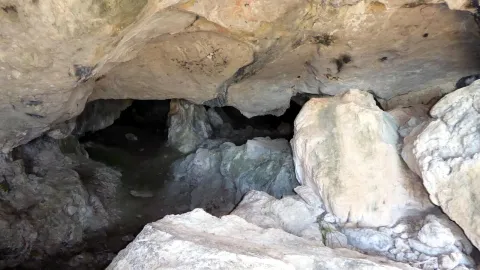
Set of troglodite houses rehabilitated as second residences and holiday tourist houses. They now make up a picturesque neighborhood, on horseback between the Serrezuela and the city centre. Very memorable.

Ubicación
Latitud
37.740061
Longitud
-3.645026
Distrito
Municipio
Ubicación en el mapa
POINT (-3.645026 37.740061)
Tipos de punto de interés
Imágenes carrusel
imagen
Image
01387888.jpg
Imagen principal
Desactivado
imagen
Image
68.jpg
Imagen principal
Desactivado
Imágenes cabecera
imagen
Image
cuevapelagar%20%281%29.jpg
Imagen principal
Activado
Microsite al que pertenece
Loading map
Preparing points of interest and routes...
Recreational Area Cave of the Peinero

Submitted by brandcode_deweloper on
Id
4585170
Descripción
Descripción larga

We suggest...

  • A walk up the road. Above the road that crosses it, a small dam is reached, hung by the scrapes of sediments, and at the back there is a pot of clean and transparent waters that invite an exciting bath when it is hot.
  • The short climb to the high mountain shelter of La Cueva del Peinero, through a short forest track that part of the Recreative Area. The almost circular panorama that you will have from this place will make you feel part of a wild and great scenario, overtaken by a lion vulture and other raptures.

LOCATION

JH-7155 (Transversal de las Villas) road, 34 km from Mogón. You can also access the opposite end of this road, in which case you have to travel 26 km from the detour on the road A-6202 (direction Charco del Oil).

Breve descripción

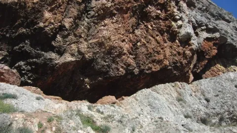
This area is in the midst of an impressive geological formation, which resembles a majestic circus, being one of the most abrupt and steep places in the park. Its natural exit is the impressive throat through which the river Aguascebas Grande flows, whose crystalline waters descend into successive waterfalls, between the large petreous blocks, hiding here and there, in an agitated turbulence of saltarine foams. On the contrary, in the Recreative Area the river runs in a quiet and quiet way, between the thick vegetation of willows, chopos, arraclanes and nozzles. The huge rocky lanterns that close the site rise more than 600 m, with poyos covered with fully virgin vegetation due to its difficult accessibility. All of this permeates the place of a great, hard to forget. The dusk and magical light of the sunset projects on the rocks a palette of suggestive colors, further accentuating the attractive forms of its relief. These are just some of the arguments that have motivated the site to be classified as a landscape interest. Next to the road, about 500 m down, there is a small grotto. But the name of the site does not come from this obscenity, but from a coat that is just below the shelter above the Recreative Area. According to tradition, the name comes from the fact that the coat was previously inhabited in summer by a craftsman who was dedicated to making utensils of boj wood, very abundant in the area, among which, due to its quality and fine processing, were the hair combs.

Telecomunicaciones
Teléfono de contacto
953 451 507
Ubicación
Código Postal
23338
Latitud
38.157670
Longitud
-3.032710
Dirección
C/ Carrera, 14
Distrito
Ubicación en el mapa
POINT (-3.03271 38.15767)
Tipos de punto de interés
Imágenes carrusel
imagen
Image
cueva-del-peinerojpg.jpg
Imagen principal
Desactivado
Imágenes cabecera
imagen
Image
PPCP6028.jpg
Imagen principal
Activado
Loading map
Preparing points of interest and routes...