

DETOUR 08: Puntal de La Misa









Description
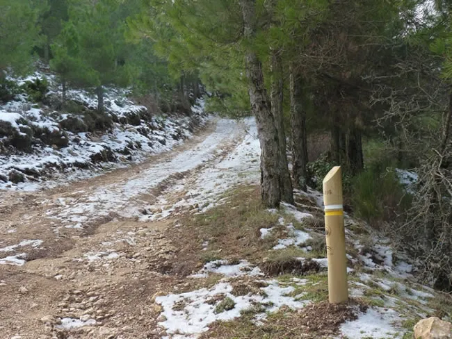
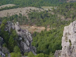
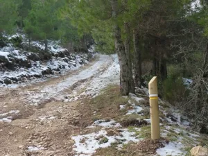
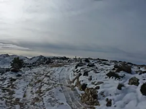
The Puntal derivation of the Mass starts from the village of Cañada del Saucar located at the kilometer 2.6 of Stage 20, which begins in the village of Prado Maguillo. It's a linear route, which will have to be done back and forth. It is raised by a forest track in the midst of immense pine larix pineapples, leaving behind the valleys of Los Anchos and Rio Madera. As we gain height, vegetation is scarce to a piornal austere.
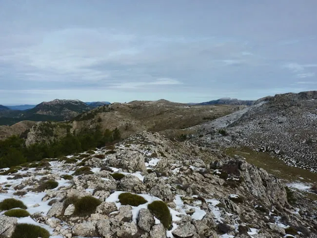
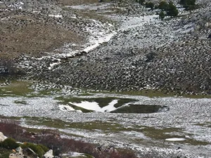
Once on the top of the calar, we discover the great and overwhelming atmosphere of the high mountain of Segureña: a huge karmic platform with meadows where the flocks of Segureña sheep are pasted, broken by dolinas (sows called "sorbeores" in the area), vaguadillas and sharp rocky.
The remains of stone walls of ancient agricultural terraces remain on the ground, witnesses to the hardness of the old rural life, in which the serrans went up from the nearby villages to sow cereals, taking advantage of the moisture that the soil conserves in a few pits. It is now unthinkable to make such hard daily displacements to start such scarce yields.
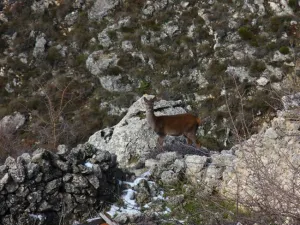
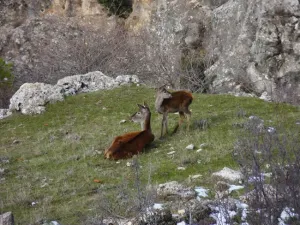
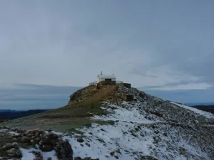
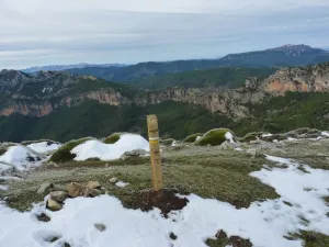
From the forest surveillance site of the Puntal de la Misa, and along the eastern side of the calar, we will dominate memorable panoramic over an infinite succession of mountain canvas on the other side of the deep valley carved by the Segura River. The calar is frequented by groups of mountain goats and overtaken by the lion vulture. In the cut there are also pilgrims hawks. The whole area is full of boar.
Datos de la ruta
ROUTE NAME
Puntal de La Misa
TRAIL TYPE
Linear. Round trip
DIFFICULTY
Medium
TOTAL DISTANCE (IN KILOMETERS) 5,88 km
-
Stretch of asphalt or concrete: 0
-
Section of track, forest road, or dry watercourse: 0.01
-
Trail section: 0
-
Sections of livestock trails: 0
HUSO 30S
ESTIMATED TRAVEL TIME
1 h 51 min
ROAD SURFACE TYPE
Forest track
MAXIMUM ELEVATION CHANGE 381mm
435mm
67mm
DIFFICULTY. RATING ACCORDING TO THE MIDE METHOD
1
MEANS
Severity of the natural environment
1
ITINERARY
Route guidance
1
DISPLACEMENT
Difficulty moving about
2
EFFORT
Amount of effort required
ACCESSIBILITY TYPE
TIME OF YEAR
SIGNALING
Sí
MORE INFORMATION
TUNNELS
STEEL VIADUCTS
METAL WALKWAYS
WATER POINTS
PONTOONS
GUARD BOOTHS AND BARRIERS
SWITCHMAN'S CABINS
CYCLABILITY
RECREATIONAL OR SPORTS AREAS NEAR THE TRAIL
AID STATIONS
LINKS TO OTHER TRAILS
SHELTERS
RECOMMENDATIONS
OTHER INFORMATION OF INTEREST (ARCHITECTURAL OR HISTORICAL-CULTURAL, GEOLOGICAL-ECOLOGICAL)
Route card
Km 0
Cañada del Saucar
El sendero se desarrolla íntegramente por una estrecha pista que cruza el arroyo en su inicio, serpenteando en varias ocasiones para coger altura entre un esbelto pinar de laricio. A 1,6 kilómetros del inicio, transitamos por Collado Portillo del Cerezo, para descender unos metros hacia una vaguada y continuar el ascenso. El paisaje que nos rodea es cambiante, zonas rocosas con especies rastreras, generalmente de porte bajo y espinas u hojas puntiagudas alternan con pinares de repoblación.
Km 3,2
Calar del Cobo
Desaparecen definitivamente las especies arbóreas y pronto llegamos al Calar del Cobo, uno de los más grandes de esta zona, con más de 3 kilómetros de un extremo a otro. Estos lugares se utilizaban antiguamente como zona de cultivo de cereal, para complementar la alimentación del ganado en los meses menos productivos.
Los Calares son zonas predominantemente planas en la parte alta de las montañas, responsables de la riqueza de agua de las zonas bajas, pues recogen las aguas de lluvia y nieve, y la almacenan en los poros de la roca caliza, soltándola luego poco a poco.
Justo al coronar el calar, hacia el este y en la parte más baja, podemos contemplar un gran embudo, que se corresponde con una sima, en estado incipiente de formación.
Merece la pena acercarse al borde, donde nos daremos cuenta de que la cima se sitúa en la parte más baja de una depresión del terreno. De ello deriva que la escasa escorrentía existente en la parte alta del calar se filtre justo en ese punto, lo que acelera la disolución de la roca y propicia la formación del embudo o dolina.
Con el paso del tiempo en las dolinas se generan simas, que son galerías verticales cuya profundidad puede alcanzar centenares de metros.
Continuando la pista hacia el sur de este calar, pasamos junto a la tinada del calar situada a 3,6 kilómetros del inicio. Estas zonas son ricas en pastos frescos de verano, por lo que durante esos meses son habituales los rebaños de oveja segureña.
Km 5,85
Puntal de la Misa
En el extremo sur del Calar llegamos al Puntal de la Misa a 1796 metros de altitud. Cuenta con una caseta de vigilancia de incendios operativa en los meses estivales.
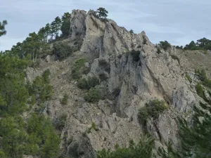
Además de amplísimas vistas sobre las mayores altitudes del Parque y de las provincias vecinas de Albacete y Granada, hacia el sur, el Valle del Río Segura nos regalará una magnífica panorámica del Embalse de Anchuricas. Muy cerca de la cima observamos unas formaciones calizas verticales reniformes ubicadas sobre la cresta de esta montaña, que se conocen como los Dientes de la Vieja.
