Hiking Route circular Aguascebas


Description
By accessing from Mogón by the JH-7155, just before crossing the waterfront dam and in the vicinity of the reservoir village we find a forest track to the right in good condition, which is where our tour goes. There is a descriptive panel of the Tranco del Acebo site, which is where the Chorro Gil waterfall is located, to which we will access with this path.
Is part of

Datos de la ruta
ROUTE NAME
CIRCULAR AGUASCEBAS
TRAIL TYPE
Circular
DIFFICULTY
Medium
TOTAL DISTANCE (IN KILOMETERS) --
-
Stretch of asphalt or concrete: --
-
Section of track, forest road, or dry watercourse: --
-
Trail section: --
-
Sections of livestock trails: --
HUSO 30S
30S x = 504343 and = 4210886
ESTIMATED TRAVEL TIME
2 h 8 min
ROAD SURFACE TYPE
Sandy and rocky
ELEVATION CHANGE
221mm
234mm
DIFFICULTY. RATING ACCORDING TO THE MIDE METHOD
1
MEANS
Severity of the natural environment
1
ITINERARY
Route guidance
1
DISPLACEMENT
Difficulty moving about
2
EFFORT
Amount of effort required
ACCESSIBILITY TYPE
Horse, on foot and bike
TIME OF YEAR
All year round
SIGNALING
No
PERFIL DE ALTURAS

MORE INFORMATION
TUNNELS
STEEL VIADUCTS
METAL WALKWAYS
WATER POINTS
PONTOONS
GUARD BOOTHS AND BARRIERS
SWITCHMAN'S CABINS
CYCLABILITY
RECREATIONAL OR SPORTS AREAS NEAR THE TRAIL
AID STATIONS
LINKS TO OTHER TRAILS
SHELTERS
RECOMMENDATIONS
OTHER INFORMATION OF INTEREST (ARCHITECTURAL OR HISTORICAL-CULTURAL, GEOLOGICAL-ECOLOGICAL)
Technical Description
By accessing from Mogón by the JH-7155, just before crossing the waterfront dam and in the vicinity of the reservoir village we find a forest track to the right in good condition, which is where our tour goes. There is a descriptive panel of the Tranco del Acebo site, which is where the Chorro Gil waterfall is located, to which we will access with this path.
Initially we will visit pine forests with large grasslands, in continuous rise for 1.3 km, leaving on the way several restored cortijos. Once a hill has passed, where there are great clear left, we begin to come down to the Chorro Gil waterfall. In the middle of the descent we hear and see the cascade of Chorro Gil, and when we reach 1.78 km of route we can take a small path to the right that brings us to it, 5 minutes from the track, to then return to this point and continue the path. The Chorrogil Cascade is one of the most spectacular of the park, approaching 100 m of altitude and gives this area a very characteristic microclimate of more northern places, hence the name of the site, Tranco del Acebo.
We continue our route back on the rise until we pass again through another hill 2.5 km from the beginning and again another descent to the Vega del Aguascebas de la Fuente del Tejo. This river runs next to a magnificent gallery forest and large meadows. We must cross the same, 3.3 km from the beginning, by a path following the forest track or by a passing of concrete blocks painted in white. This is the Paso del Manguillo. Again this itinerary begins to rise until it reaches 4.15 km to a road crossing, close to a cortijo that is left to our right, we will continue to the left and almost all our journey will be in descent.
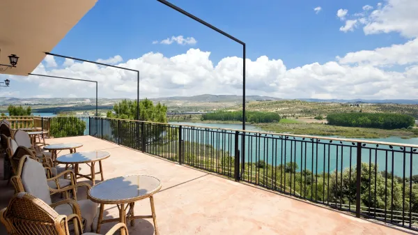
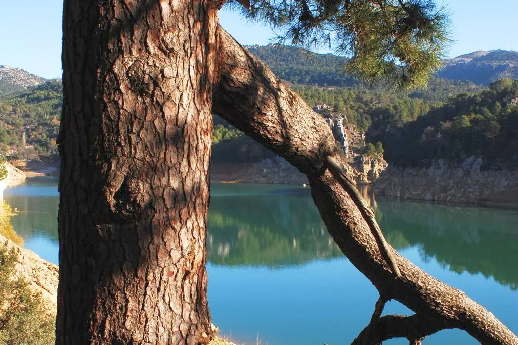
In the km 5.1 we find again another track crossing to the left, we continue to face after having zigzagueado on several occasions. A few ten minutes to the asphalt road JH-7155 we will now have to follow left to reach the beautiful reservoir of Aguascebas. Its dam, on which we will have to pass, is located on the spectacular closure of the Aguascebas Chico. A few meters away, we found the town of the reservoir where the beginning of this itinerary was located.
We recommend