The Priest's House
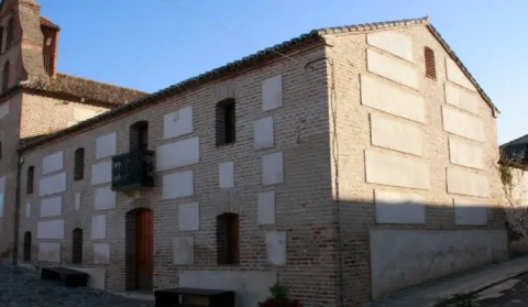
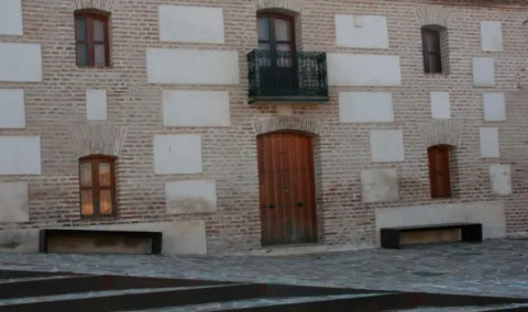
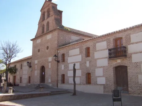
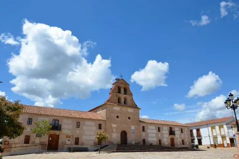
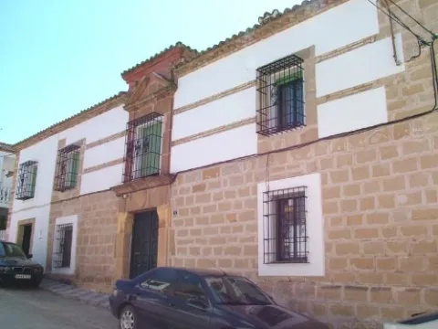
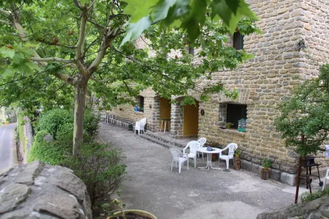
Located on the side of the church, the house of the priest is currently in the process of restoration after a time of abandonment.
In the church, this house has had several functions, some of which are the City Council and currently the home of the retired. For many years it was used as a poultry of braves during the holidays.
It is the oldest and largest house in the town, sent to build in the year 1,760. It was used as a house of the Carrillera and the posio, where food was stored to distribute to the people in the years of scarcity and drought.
It was also believed that the inquisition was established there because his shield was on the facade, but after successive studies the researchers concluded that the Court of the Inquisition was in another house and that only one member of it lived there. This house, other ancient people and the Church, are united by underground tunnels that come out of its wells and lead to the outskirts of the village.
It is the oldest and largest house in the town, sent to build in the year 1,760. Known as Casa de la Carrillera or Casa Grande of the 17th century. It was used as a home of the Carrillera and the posio, where food was stored to distribute to the village in the years of scarcity and drought.
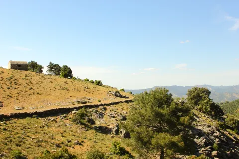
A small hermitage, which at the time made the school, brings to our head memories of past times. Its position allows it to have a privileged view over the nearby mountains, which you can know more in depth if you do the circular path of the Yelmo Chico, the PR-A 150 that part of the Capellania.
Jars, rosemary and pines accompany the road leading to the Capellania. Small gardens between the pine trees and some olive trees lead to the area where the village is located. It has an immense central meadow with several roads that lead to the different houses.
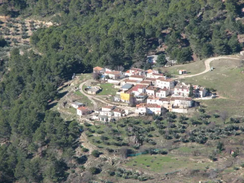
The crossbow is made up of two cores of houses separated by an old laundry room that awaits the arrival of people in laundry clothes. During the winter it has only four neighbors. It surprises the cleaning of the village and the freshness of the water that runs next to it. If you close your eyes you can discover that the silence is broken only by the rooster singing, the cat's maullido or the water running.
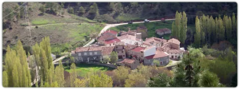
Next to the Ballestera we find Montalvo with a completely different landscape. It dominates an elevation that is accessed by a road that zigzaguea to the village and offers us impressive views over the valley. You can see narrow streets, narrow walls, houses recovered from ruin, all surrounded by privileged views of the valley.
A very narrow road surrounded by trees leads us to the Ballestera. You will pass through a bread oven and an old haystack, witnesses from another time, from the self-sufficient past of this village. The gardens are intermingled with the pines and some olive trees, the result of the need to get oil before.
This is an old mud quarry next to the city centre. It has an artificial water lagoon very interesting for its ecological function.
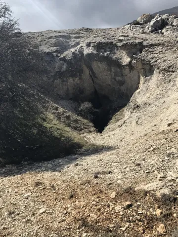
In the eastern part of the Sierra de Segura there is a spectacular karmic landscape, characterized by the presence of an exokarst of exceptional beauty with an immense field of dolins and uvalas, splashed with sims, of different scale. This karmic relief is controlled litologically and structurally, and conditioned by a high mountain climate, with level periods that accentuate the dissolution in karmic cavities. In this area, a carbonated altiplanicie that includes from the fields of Hernán Perea to those of the Black Pinar, stands out a series of simas, within dolinas and uvalas, among which stand out the one of the Campo del Espino, the one of the Hunzón, the one of the Cortijo, and mainly the very one of the Black Pinar.
The morphology of these cavities, with frequent balance chimneys, uses and some subhorizontal galleries, with clear structural control, reflects the importance of dissolution in the geomorphological evolution of them, with few examples of tectonic simas such. The most important of its development is that of the Black Pinar which is the sink of a large dolina of 105 x 130 m. In the area around the mouth a small channel runs through which a water course temporarily circulates that penetrates the cavity as a ponor. It has a large mouth (8 x 2 m.) that communicates with a large initial well of 10 x 16 m that descends to 104 m., where a second well of 40 m is started; reaching the bottom of the main track of the sima. Fifteen meters above the second well is the side track of smaller dimensions, but it reaches more depth, reaching more than 100 m.
Source: Inventory of Georresources of Andalusia. Environmental Council. Junta de Andalusia.
Karst of Black Pinar
Here was born in the 1950s a village with the same name: Miller's Boards. This core was created to house the personnel employed in the construction of Miller's hydraulic power plant. To supply water to this plant the reservoirs of the Anchuricas (Segura River) and the Old River (Zumeta River) were built. The water jumps are 185 and 195 meters high respectively.
A magnificent view of Las Juntas is from the place known as the Loma del Paerón. To get to this point we recommend you make the route "Loma del Paerón" which is identified as PR-A 108. From here a natural lookout is opened before you to contemplate the valleys of the Zumeta and Segura rivers, and the union of both.
In front of the Loma are the Cañás de la Muela, where there is a large colony of leonado vulture, as well as the Iberian village of the Peñón de los Almendros, the village of Góntar... You're in a magical area worth discovering.
We suggest...
It is reached through the road JF-7038 from the town of Santiago de la Espada after 22 km. From Segura de la Sierra we can also reach the road in the direction of Rio Madera - La Toba - Miller's Boards. This way the distance is 54 km. and a time of about 1 hour.
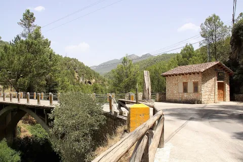
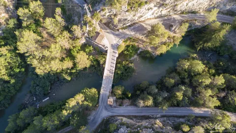
With this suggestive name we know the union of two important rivers of the Sierra de Segura: the Zumeta and the Segura. Together they say goodbye to Jaén - this peaceful and beautiful parachute - to enter the province of Albacete. From the bridge it is easy to imagine the ancient "pineros" preparing the logs that arrived from the two rivers and that would take them, after a fabulous journey, to the Mediterranean, with no tool other than a double-pointed hazelnut stick hook.
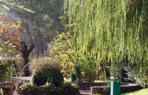
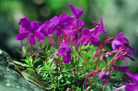
In the Garden are the different plant formations that, depending on the height and humidity, we can find naturally in the Park, such as the high mountain, the larix pineapples, the deciduous bosquets or the riverside forests. There is a space dedicated to the exclusive species of the Park (endemisms), such as the Cazorla violet.
We suggest...
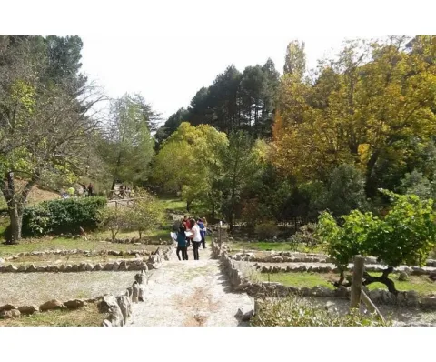
This large Botanical Garden has a wide and careful selection of plants from the Natural Park, from small herbaceas to large trees. It is a perfect place to observe and learn to distinguish them or simply to take a pleasant walk between lush vegetation. Your visit will help you understand that the extraordinary botanical wealth of these saws is one of the main reasons for them to be declared as Protected Space. The entrance is free.
The Arroyo del Vidrio divides the Garden into two, and passing through a wooden bridge with eastern air, we reach a natural area where we can know the plants integrated into their natural habitat, some of them in danger of extinction. This part has a circular path around the channel, where, in addition to vegetables, more than forty species of birds can be observed, as well as squirrels and amphibians. This ravine is the ideal framework to begin to contemplate in situ the particular contrast of the area, from a lookout located at the highest part of the tour.
The slope of the right margin, in umbria, is occupied by a pineapple pineapple (Pinus nigra ssp. salzmanii). In front, in the dolomitic herring where the parking is located, the black pine (Pinus pinaster) is the only tree able to overcome the presence of magnesium on the ground. Next, in the rocky carasol, the carrasco pine (Pinus halepensis), the most characteristic Mediterranean pinacea of arid areas, dwells on very permeable substrates, where drought becomes extreme. The fact that the three native pine species of this Natural Park naturally coexist in such a small space, deletes the special ecological characteristics of this area.
We suggest...
The Botanical Garden of the Hornico is 9 km from Pozo Alcón and 17 km from Hinojares. From Pozo Alcón you have to take the A-326, up the Avenida de la Bolera, direction to Castril. By passing the campsite de la Bolera and the km 7, we take a detour that comes to our left and that borders the Forest House of la Bolera (it is marked as an entrance to El Hornico). On an unasphalt road, 2 km later, we take another turn to the left, after passing a bridge, which leads us to the park of the Garden a few meters later.
The diversity and contrast in the landscape, essential characteristics of the southern end of the Natural Park, are manifested, above all, in the composition and structure of the plant formations that cover the territory. With a short and pleasant walk through the Botanical Garden of El Hornico we will know the forest ecosystems present in the protected natural space and the plants that make up them, from the subdesert dungeons of the Guadiana Menor, to the piornal and pine trees of the high mountain of the mountain, passing through the different forests present along the length and width of its surface. In these facilities, reaching the summits from the basal area, it only costs effort and a few minutes.