DETOUR 06: Viewpoint Juan León






Description
This Derivation of the Southern Forest Path starts from Stage 17 Resugio Campo del Espino - Pontones, 8.7 kilometres from its beginning and one kilometre from the Birth of the Segura, just between the Cañada de la Cruz and the Birth of the Segura.
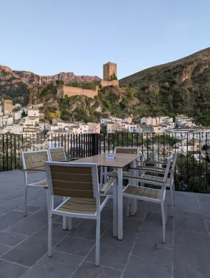
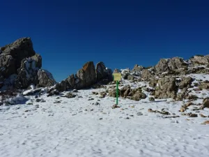
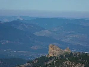
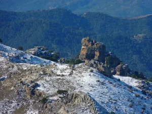
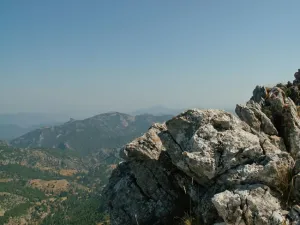
We will reach a natural balcony made up of almond rocks and located at 1700 meters of altitude, enjoying a spectacular panoramic view.
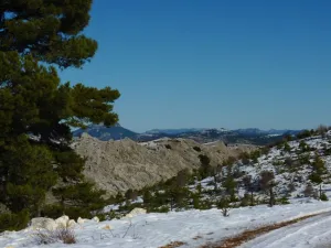
The Sierra de las Villas will be extended to the west, to the south of Cazorla and to the east of Segura, all with its most representative peaks. It features the view of the Barranco del Lobo, next to which the uninhabited village of Los Centenares is located. From the viewpoint you can still see the ages that their inhabitants used to feed the grain.
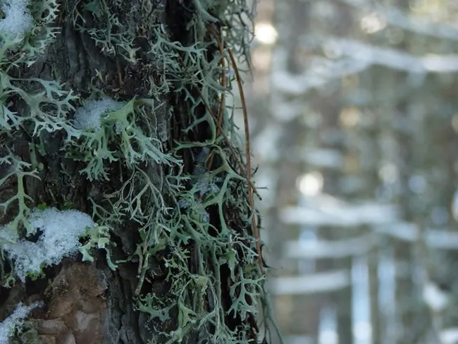
In progressive ascension we will enjoy a pleasant landscape that is being transformed as we move forward. We will see areas with imposing isolated pine trees, thick forests and noble shrubs with protected species. In spring we will be seduced by the great flowers of peony, of a striking fuchsia color.
At other times the landscape is opened, leaving to see rocky and piornal, indicative of the altitude at which we are. Along the climb we will find some tins and tornips, buildings intended for the shelter and feeding of the cattle. Walking these roads and watching the landscape we will discover the life of these lands.
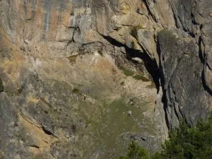
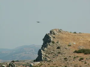
Already on the balcony we must be attentive, because at any time some rapture can appear with its majestic flight, perhaps pursued by the crows in their struggle for the territory and with a little luck the elusive broken bones, because very close to our path is one of the caves used in the reintroduction program.
Datos de la ruta
ROUTE NAME
Mirador de Juan León
TRAIL TYPE
Linear. Round trip
DIFFICULTY
Medium
TOTAL DISTANCE (IN KILOMETERS) 4,6 km
-
Stretch of asphalt or concrete: 0
-
Section of track, forest road, or dry watercourse: 0.01
-
Trail section: 0
-
Sections of livestock trails: 0
HUSO 30S
According to Projection UTM Datum ETRS89
ESTIMATED TRAVEL TIME
1 h 12 min
ROAD SURFACE TYPE
Forest track
MAXIMUM ELEVATION CHANGE 229mm
229mm
0mm
DIFFICULTY. RATING ACCORDING TO THE MIDE METHOD
1
MEANS
Severity of the natural environment
1
ITINERARY
Route guidance
1
DISPLACEMENT
Difficulty moving about
2
EFFORT
Amount of effort required
ACCESSIBILITY TYPE
On foot
TIME OF YEAR
All year round
SIGNALING
Sí
MORE INFORMATION
TUNNELS
STEEL VIADUCTS
METAL WALKWAYS
WATER POINTS
PONTOONS
GUARD BOOTHS AND BARRIERS
SWITCHMAN'S CABINS
CYCLABILITY
RECREATIONAL OR SPORTS AREAS NEAR THE TRAIL
AID STATIONS
LINKS TO OTHER TRAILS
SHELTERS
RECOMMENDATIONS
OTHER INFORMATION OF INTEREST (ARCHITECTURAL OR HISTORICAL-CULTURAL, GEOLOGICAL-ECOLOGICAL)
Route card
Km 0
Pista a Pinar del Risco
A 1 kilómetro del Nacimiento del Segura, por el GR 247 hacia el Refugio Campo del Espino, arranca una estrecha pista dirección suroeste, fácil de identificar porque cuenta con una barrera para limitar el paso de vehículos justo en su inicio.
Este cruce es punto de separación de varios senderos, ya que el GR 247 y el GR 144, que en el tramo hasta el inicio de la Derivación son coincidentes, se separan del GR 7, que nos acompañará durante casi todo el recorrido hacia el Mirador de Juan León.
Paseamos en el tramo inicial del Pinar del Risco, a caballo entre la frondosidad de un espeso y esbelto pinar de laricio y lo agreste de los piornales y pedregales, que ocupan las zonas menos fértiles y más expuestas a las duras condiciones invernales. Es zona ganadera por excelencia, en la que es fácil encontrar a pastores y sus rebaños de oveja segureña o cabras serranas ocupando las tinadas y abrigos naturales.
Suele haber rodadas de vehículos que entran indistintamente a derecha o izquierda, que tienen poca continuidad y que hay que descartar. Seguiremos siempre la pista principal en suave ascenso.
Km 4,3
Bifurcación
Finaliza la subida, encontrando hacia la derecha una placentera cañada que nos invita a recorrerla, mientras a la izquierda dejamos el GR 7 que sigue hacia la Hoya del Ortigal, situada a un kilómetro, donde enlaza con la variante 247.2 entre el Refugio de Campo del Espino y Coto Ríos, posibilitando así diferentes opciones para el caminante. Nuestra ruta gira hacia la derecha por una vaguada flanqueada por colinas rocosas.
Km 4,6
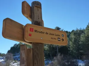
Mirador de Juan León
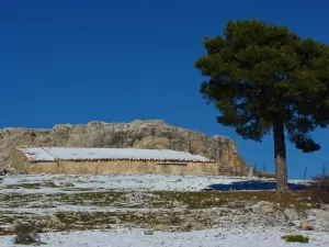
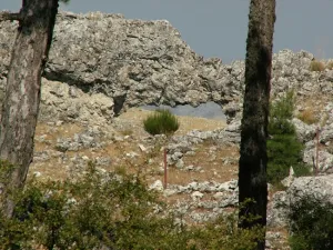
La ruta finaliza en un prado delimitado por un arco rocoso que constituye el mirador natural. Se recomienda subir al promontorio que hay donde acaba la pista para disfrutar de esta gran panorámica sobre el Embalse del Tranco, el Valle del Guadalquivir y las grandes cumbres del Parque Natural.
We recommend