Route de la Sierra (De Frailes a Valdepeñas de Jaén)


Datos de la ruta
ROUTE NAME
Ruta de la Sierra (De Frailes a Valdepeñas de Jaén)
TRAIL TYPE
--
DIFFICULTY
Baja
TOTAL DISTANCE (IN KILOMETERS) 15 km
-
Stretch of asphalt or concrete:
-
Section of track, forest road, or dry watercourse:
-
Trail section:
-
Sections of livestock trails:
HUSO 30S
ESTIMATED TRAVEL TIME
2 h
ROAD SURFACE TYPE
ELEVATION CHANGE
350mm
350mm
DIFFICULTY. RATING ACCORDING TO THE MIDE METHOD
--
MEANS
Severity of the natural environment
--
ITINERARY
Route guidance
--
DISPLACEMENT
Difficulty moving about
--
EFFORT
Amount of effort required
ACCESSIBILITY TYPE
TIME OF YEAR
All year round
SIGNALING
No
MORE INFORMATION
TUNNELS
STEEL VIADUCTS
METAL WALKWAYS
WATER POINTS
PONTOONS
GUARD BOOTHS AND BARRIERS
SWITCHMAN'S CABINS
CYCLABILITY
RECREATIONAL OR SPORTS AREAS NEAR THE TRAIL
AID STATIONS
LINKS TO OTHER TRAILS
SHELTERS
RECOMMENDATIONS
The difficulty of the route lies more than anything in the four necklaces that behave as true "break-legs," although half of the route runs by asphalt. Any time is good for visiting these places, in summer you will have to leave early to avoid pedaling in the hours of greatest insolation. The water is not missing.
OTHER INFORMATION OF INTEREST (ARCHITECTURAL OR HISTORICAL-CULTURAL, GEOLOGICAL-ECOLOGICAL)
Technical Description
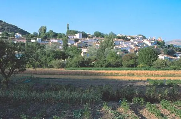
The route goes through Fries on the bottom. Once outside the city centre a fork appears (km. 1.9). Both roads lead to Valdepeñas de Jaén, but will be chosen by the one on the right. The first meters pass through the river's Vega. Immediately the sodomy pedal ends and must face the first rise, with some rather steep ramps. Once left behind the cortijos of Los Rosales, the first collar is reached (km 5.5). At this point you must continue to face them and ignore them two ways on the right, to descend without loss to a wading stream.
The tour again gains height to the cortijos of Cerezo Gordo. Immediately and after a short fall, the next rise begins which, despite being long, does not present the previous hard slopes. At the beginning of the slope (km. 11.2) the zigzagueante lane leading to Noalejo is left to the right. The asphalt ends next to a ruined cortijo. Soon after you reach the Pinatero port (km. 13.2), located at the foot of the Los Nevazos peak, the tip of the Trigo saw.
The route continues straight along the widest road and, as it is losing height, discovers the beautiful valley where the cortijo de La Fresnedilla is located. After having stranded the fourth hill, it descends to the hole of the Carboneros, locked between impressive flashes. Its meadows and creek invite a break before the last climb. They must save almost 200 meters, but once they have been overcome, it awaits a rapid descent that ends in Valdepeñas de Jaén.
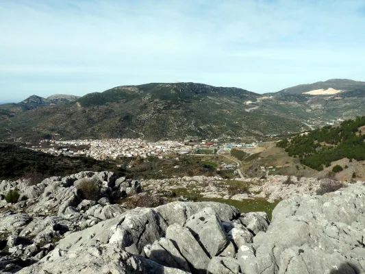
The tormented orography of the South Sierra has stopped the widespread invasion of agriculture and within it there are hardly any population nuclei beyond some lonely agonic cortijos. In contrast, the natural environment has managed to remain in an almost wild state. In fact, the Mediterranean forest and bush cover 30% of the surface and grazing is still the essential activity. A secular way of life is located in the depths of the saw and it runs its most remote corners on an accidental journey to the encounter of areas still unknown.
We recommend