Saltar al contenido principal

Mount Aznaitín

Submitted by brandcode_deweloper on
Id
5693260
Descripción
Descripción larga

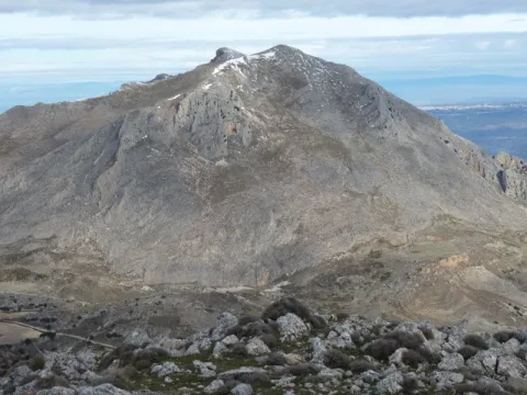
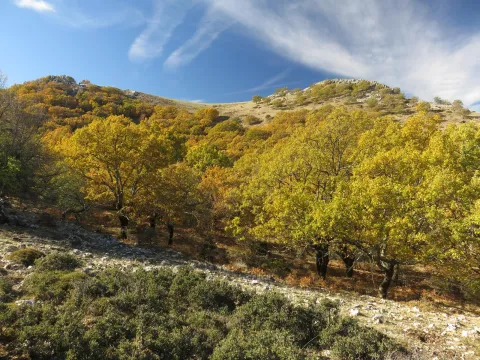
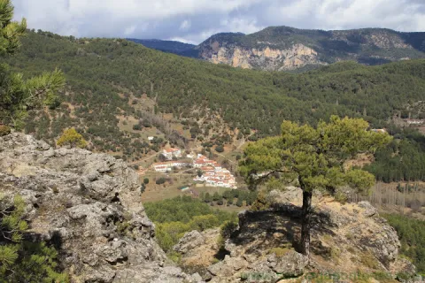
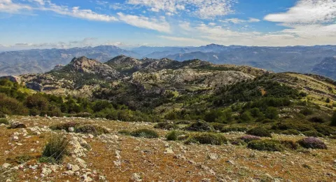
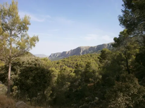
In the Aznaitín, some plant endemisms typical of Sierra Magina are maintained. At its summit the municipal terms of Jimena, Torres and Albanchez de Mágina, whose populations are located at their feet, as do the prehistoric caves, where the former inhabitants left their mark for posterity. Not in vain the Aznaitin impregnated the pupil of Antonio Machado from the far Baeza and incorporated him into his poetry.

Breve descripción

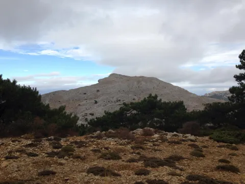
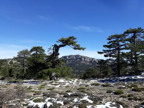
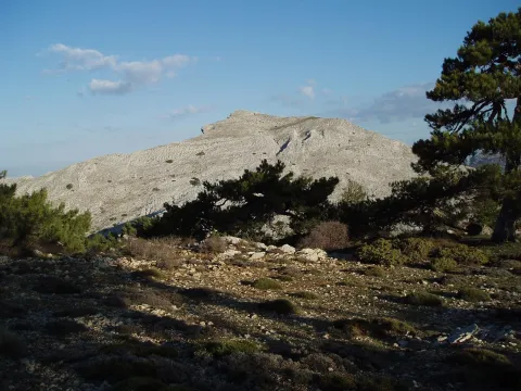
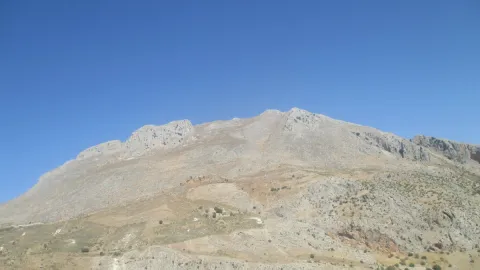
The Az-Naitín (Nathin in local dialect) is a mountain located in Sierra Magina, Jaén, Spain. The origin of the toponymy in Arabic would be Isnatin or Asnatin, and it is noted that it can come from its ancient name in ibero as Neitin, which refers to the great iberous god Neton, the god of Thunder and fire, which according to the legend dwells in the mountain. It has a special visual appeal, especially from the East side or from the Guadalquivir valley. It has a considerable altitude, 1745 m, which allows to see much of the province of Jaén.

Ubicación
Latitud
37.841370
Longitud
-3.476880
Distrito
Municipio
Ubicación en el mapa
POINT (-3.47688 37.84137)
Tipos de punto de interés
Imágenes carrusel
imagen
Image
3.jpg
Imagen principal
Desactivado
Imágenes cabecera
imagen
Image
4.jpg
Imagen principal
Activado
Microsite al que pertenece
Loading map
Preparing points of interest and routes...

Viewpoint el Tapadero

Submitted by brandcode_deweloper on
Id
913206
Descripción
Descripción larga

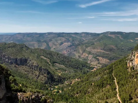
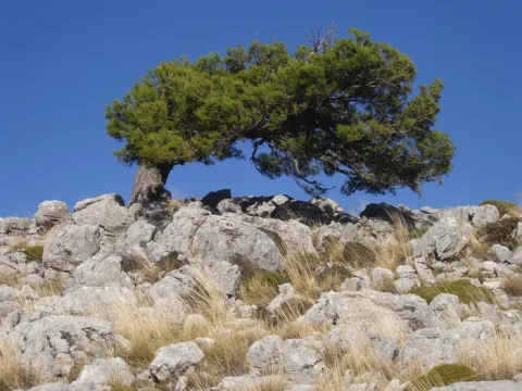
A tortuous sabina mora, with the trunk tanned by the passage of years and the inclemences of time, welcomes us to the lookout, from which you can see an impressive and majestic panorama of the saw of Las Villas, which as a balcony opens to show us, in a close-up, the delicious valley of Chillar stream and, at the bottom, the valley of the Guadalquivir River, which is lost among the olive lomas.

We suggest:

  • Continue our promotion, to the Collado del Agua de Los Perros, which with its 1200 m altitude, allows us to have a magnificent and spectacular view of this saw.
  • Consider the twilight on the horizon. The tenuous light that surrounds the place produces fantastic tones on the rocks and accentuates the powerful forms of its relief, accentuating the magical charm of the place.

Carretera JH-1755, which links the town of Villanueva del Archbishop with the village of Tranco, known as "Transversal de las Villas." The location of the lookout is well marked by a sign.

Breve descripción

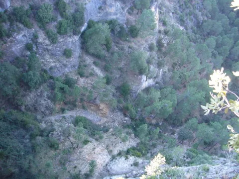
This lookout is located on the top of a rocky wall, with more than 200 m of vertical fall, on an abyss whose vision produces impression. The steep slopes are populated by Mediterranean forest spots, which anchor their roots in the pure rock. It is common to observe the mountain goats climbing along the hillsides, as well as the majestic flight of great rapaces, especially leonate vultures, but also royal eagles, scallops, baskets, hawks, gavilanes... and, if there is luck, even the recently reintroduced bones.

Ubicación
Latitud
37.912893
Longitud
-3.003887
Municipio
Ubicación en el mapa
POINT (-3.003887 37.912893)
Tipos de punto de interés
Imágenes carrusel
imagen
Image
miradorT.jpg
Imagen principal
Desactivado
Imágenes cabecera
imagen
Image
mirador-tapadero.png
Imagen principal
Activado
Loading map
Preparing points of interest and routes...

Mine of the Avellanar

Submitted by brandcode_deweloper on
Id
4749429
Descripción
Breve descripción

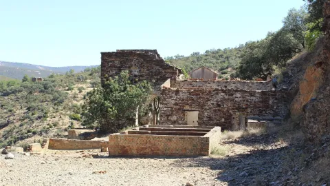
It's a galena mine in operation until recently. To get there you have to go along the road that leaves Aldeahermosa and goes towards the estate "El Puerco," after crossing the door of this estate you follow the road for 1.5 km, you reach a sign that indicates that to the right is the mine, by the river Dañador.

Ubicación
Latitud
38.342560
Longitud
-3.103740
Distrito
Municipio
Ubicación en el mapa
POINT (-3.10374 38.34256)
Tipos de punto de interés
Imágenes carrusel
imagen
Image
minaavellanar.jpg
Imagen principal
Desactivado
Imágenes cabecera
imagen
Image
20.jpg
Imagen principal
Activado
Microsite al que pertenece
Loading map
Preparing points of interest and routes...

Melojar

Submitted by brandcode_deweloper on
Id
880471
Descripción
Descripción larga

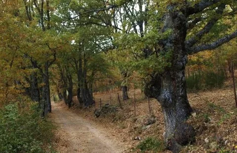
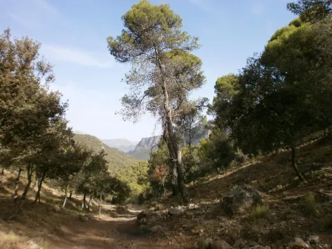
Just get out of the car, we will find ourselves surrounded by twins (Quercus pirenaica), in a thick and very closed forest. Melojar is one of the most demanding ecosystems in soil quality, depth of this and humidity, in the Park is poorly represented, only a few nuclei of the Segura saw. They maintain a entourage of plant species that accompany the melojo, forming one of the most important and interesting forests in the Park.

These forests were more abundant and extensive in past times, but the use of their wood, the transformation of the soil they occupy and sometimes the plunder to which they have been subjected, reduced them to small spots or enclaves, reaching very low today, especially in southern Spain. In the park already it must have been small the extension that would occupy this forest, but at present only a few very small enclaves remain, where the twins form bosquets, and there are also isolated specimens intermingled in the pineapples (salgareños).

The twins are oily and, therefore, to the melojar environment reminiscent of that of the Atlantic forests, moist, with bruises, of stray trunks and covered with moss, specific to Galicia, Asturias or Centro Europa. The melojar extends through the Atlantic area of the Iberian Peninsula, but also through the central system and other areas of the interior, reaching Sierra Morena.

In the melojar we find other arboreal elements such as the pespejón (Sorbus tormentinalis), the complaint (Quercus faginea) (with which it is sometimes hybrided producing a hybrid called Quercus x welwitschii), arches (Acer granatense) and salgarean pines (Pinus nigra salzmannii) generally repopulation. They also abound shrubs such as majuelos (Crataegus monogina), black thorns (Crataegus laciniata), aligustres (Ligustrun vulgare), skirmishes (Rosa spp.), magullos (Malus sylvestris), zarzas (Rubus ulmifolius, R. canescens) and some willows or sarctiles (Salix atronaea).

On the ground of the melojar we find herbaceas, including Poa nemoralis, Brachypodium sylvaticin and medium Briza, other companions are the gold button (Geum sylvaticum), primavera (Primula vulgaris), violets (Viola odorata), filipendales (Filipendula vulgaris), orchids (Orchis langei, O. coriophora), narcissos (Narcissus triandus palidulus), and species of Solomon (and the area of the idatus).

LOCATION

It is on the verge of the track that accesses Las Herrerias, which we take from the road that goes from Siles to Rio Madera (JF-7038), to take the detour after passing through the CEDEFO de Navalhora. We'll go up to see the start of a forest track that goes left, to counter if we go to the Wood River. It's well indicated as the Herrerías. We can park or continue by vehicle, we advise parking and walking on the track a few meters.

Breve descripción

Canyon of Poyo Torres

Ubicación
Latitud
38.387861
Longitud
-2.582637
Distrito
Municipio
Ubicación en el mapa
POINT (-2.582637 38.387861)
Tipos de punto de interés
Imágenes carrusel
imagen
Image
melojar.png
Imagen principal
Desactivado
imagen
Image
melojar.jpg
Imagen principal
Desactivado
Imágenes cabecera
imagen
Image
617_img.png
Imagen principal
Activado
Loading map
Preparing points of interest and routes...

Marchena

Submitted by brandcode_deweloper on
Id
918937
Descripción
Descripción larga

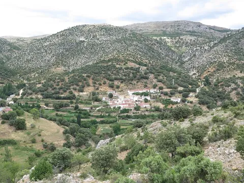
A spectacular rise in which we gain height in a dizzy way, elevation curves and great precipities that make them as natural glances: this is what you can find in Marchena. You can't miss the houses attached to the rock known as the Mound right in the village of the same name on the way to Marchena. We find the olive tree, fruit trees and orchards next to oak and pine trees.

In Marchena you can make three small paths PR-A 107 known as "Arab Alquerías," the PR-A 101 that goes from the Picachos to the Tutubiero Age and the PR-A 102 known as the Mirabete road.

Breve descripción

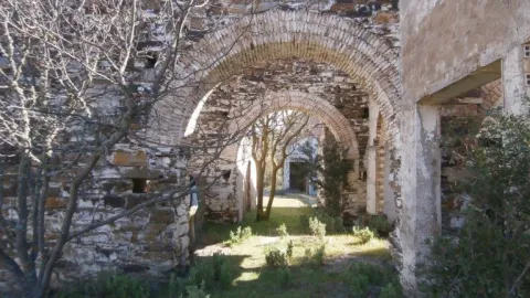
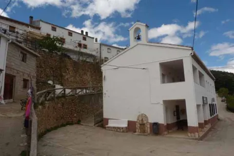
Marchena sits on a hillside next to a small valley. Streets, stairs, up and down. Rinses surrounded by silence and tranquility only broken by the sound of water. It is surprising the number of orchards, whose survival is explained by the remoteness from trading populations. Recovecos, windows and doors for statures of another time, calmed and dazzling alleys that contrast with the green of the forest surrounding the village.

Ubicación
Latitud
38.188620
Longitud
-2.498080
Ubicación en el mapa
POINT (-2.49808 38.18862)
Tipos de punto de interés
Imágenes carrusel
imagen
Image
fuente_1_7736.jpg
Imagen principal
Desactivado
Imágenes cabecera
imagen
Image
800px-Marchena%2C_Ja%C3%A9n_24J_01.jpg
Imagen principal
Activado
Loading map
Preparing points of interest and routes...
Marcas de calidad

The Hanging Gardens: La Vegetación de Las Rocas

Submitted by brandcode_deweloper on
Id
882062
Descripción
Descripción larga

Due to the presence of numerous rocky walls, both wet and dry, the rupic formations (small rock plants) are very abundant in the Park, forming true hanging gardens.

The limestone acts as a sponge by storing water, making life possible between its fissures and small shelves of a multitude of species that adapt to it. Some of these species live on the rocks for simple need, as only in them do they find shelter in front of the tooth of the herbivores.

Among the plant formations that populate the rocks we will distinguish two, those that are in dry walls and those that prefer wet and slender walls, much more scarce. A good place to see both very close is in the Las Villas saw, in Poyo Sequillo the dry walls and in the Cerrada de San Ginés the wet walls.

In the area of Poyo Sequillo we will enjoy a magnificent panoramic view of the Sierra de las Villas and its geological formations in bed. Rupicular plants such as the Cazorla violet (Viola cazorlensis), pipyrimañas (Sanguisorba rupestris), rock tea (Jasonia glutinosa), geranium of the waterfalls (Geranium cataractarum), stone breakers (Teucrium rotundifolium), tomils (Thymus orospedanus), and five branches (Potentilla caulescens), among others.

In the Cerrada de San Ginés, we will find the endemic carnivora plant known as the Andalusian grasilla (Pinguicula vallisnerifolia), as well as the widow's flower (Trachelium caeruleum), the Cazorla (Silla reverchinii), the five-in-branch (Potentilla caulescens), which lives in both dry and humid environments, and unnamed species such as Galium erytrirhizon, ferns as the hair of Venus (Adiantum capilluls- venerans and others as Aplentians). The tour has a little more than a kilometer and we advise to do it, because in this small closed the dry walls are alternating with rezummers.

_

As we enter the Las Villas mountains from Mogón, Sao Tomé or Chilluévar, we pass the reservoir of Aguascebas, and a few kilometers later, in the area known as the Collado del Pocico, a series of rocky cuts that flank the road, colonized by a lot of rupeal species, begins on our right.

_

From the previous site, following the road and after overcoming the Collado de la Traviesa and the cortijo of the same name, we reached the recreational area of Gil Cobo. In it we left the vehicle and took a track that goes right before crossing the bridge over the river Aguacebas of Gil Cobo. As soon as we walk, we'll start to see the slimming walls. Just half a mile, on our right, we'll have a big wall with a rupic community of wet wall.

Breve descripción

Poyo Sequillo and Cerrada de San Ginés

Ubicación
Latitud
37.913410
Longitud
-3.003750
Municipio
Ubicación en el mapa
POINT (-3.00375 37.91341)
Tipos de punto de interés
Imágenes carrusel
imagen
Image
cerrada.jpg
Imagen principal
Desactivado
Imágenes cabecera
imagen
Image
16283_ue3ikjl8bzcgqs12.jpg
Imagen principal
Activado
Loading map
Preparing points of interest and routes...

Los Anchos

Submitted by brandcode_deweloper on
Id
659877
Descripción
Descripción larga

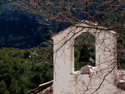
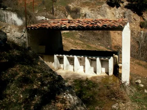
After a first group of houses, in which the Alma Serrana Ethnological Museum is located, we come to the Anchos to move us to another time. Baked streets, a laundry room that conveys tranquility through the water reflection, an oven or a small hermitage.

The Anchos conserves houses with a barely altered construction, the common being the wood, the gilded walls and the forging bars. A railing marks the limit between the houses and the gardens, being an unbeatable place to view the landscape and make a stop on the way. The village is located on a plain surrounded by mountains and next to the houses are the gardens that are still cultivated today.

Through the Anchos passes the GR 147, so we can do the path towards the River Madera or towards the Toba.

Breve descripción

From the crossing of the Venta Rampees a very narrow road leads us to the village of Los Anchos. The road seems to be lost to the interior of the mountain for just over four kilometres until we begin to see some gardens on terraces that indicate the beginning of human presence.

Ubicación
Latitud
38.223587
Longitud
-2.584503
Ubicación en el mapa
POINT (-2.584503 38.223587)
Tipos de punto de interés
Imágenes carrusel
imagen
Image
601_image_1.jpg
Imagen principal
Desactivado
imagen
Image
601_image_2.jpg
Imagen principal
Desactivado
imagen
Image
Vegetaci%C3%B3n%20Los%20Anchos.jpg
Imagen principal
Desactivado
Imágenes cabecera
imagen
Image
Fuente_Anchos037.JPG
Imagen principal
Activado
Loading map
Preparing points of interest and routes...

Hillside / Ridge of los Castellones

Submitted by brandcode_deweloper on
Id
4485791
Descripción
Descripción larga

Location: To the south of the town, in the natural park of Cazorla, Segura and Las Villas.

Distance: 19 km

Medium: In vehicle tourism and on foot.

Access route: On the road A-319 towards La Iruela; at this point, after going 13 km, we will take the Chorro road, then turn away by a horseshoe road leading to the Port of Tejo.

Breve descripción

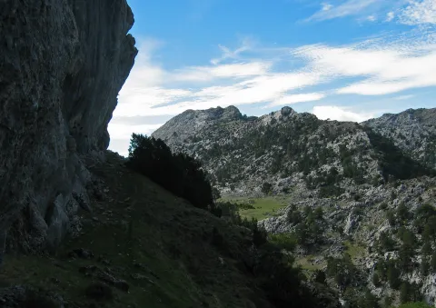
From this abrupt enclave we can see the impressive rocky cliffs and eroded stone blocks that rise in their surroundings. The landscape is unique.

Ubicación
Código Postal
23470
Latitud
37.883210
Longitud
-2.976650
Municipio
Ubicación en el mapa
POINT (-2.97665 37.88321)
Tipos de punto de interés
Imágenes carrusel
imagen
Image
lomacastellones2.png
Imagen principal
Desactivado
Imágenes cabecera
imagen
Image
lomacastellones.png
Imagen principal
Activado
Loading map
Preparing points of interest and routes...

Hillside / Ridge of Cagasebo

Submitted by brandcode_deweloper on
Id
877485
Descripción
Descripción larga

The complex formed by the union of these two cavities is located in the Loma de Cagasebo, at an altitude of about 1890 m.; within the Natural Park of Cazorla. The discovery of this cavity takes place during the exploration campaigns that the Montaña de Valencia University Club has been conducting in this area since 1987.

A succession of wells interspersed with some narrow steps, whose explorers had previously to unblock, give way to a rosary of new vertical, accompanied by a small course of water.

Breve descripción

Cagasebo's loin

Ubicación
Latitud
37.842982
Longitud
-3.066921
Municipio
Ubicación en el mapa
POINT (-3.066921 37.842982)
Tipos de punto de interés
Imágenes carrusel
imagen
Image
4499132Master.jpg
Imagen principal
Desactivado
imagen
Image
19376807%20%281%29.jpg
Imagen principal
Desactivado
Imágenes cabecera
imagen
Image
5543589Master.jpg
Imagen principal
Activado
Loading map
Preparing points of interest and routes...

Plains of Palomares-Cárcheles

Submitted by brandcode_deweloper on
Id
5849330
Descripción
Breve descripción

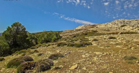
Altiplanicie in height, surrounded by mountains. Border space between the municipal terms of Los Cárcheles and Jaén. It is ideal for all-terrain bike and hiking and is accessible, by unasphalted slopes, from the Monte de la Sierra peri-urban park (Jaén) and from Carchelejo (Cárcheles).

Ubicación
Latitud
37.636740
Longitud
-3.639830
Distrito
Municipio
Ubicación en el mapa
POINT (-3.63983 37.63674)
Tipos de punto de interés
Imágenes carrusel
imagen
Image
Llanos%20de%20Palomares-C%C3%A1rcheles.jpg
Imagen principal
Desactivado
Imágenes cabecera
imagen
Image
Llanos%20de%20Palomares-C%C3%A1rcheles1.jpg
Imagen principal
Activado
Microsite al que pertenece
Loading map
Preparing points of interest and routes...