Saltar al contenido principal

Avellanares

Submitted by brandcode_deweloper on
Id
919885
Descripción
Descripción larga

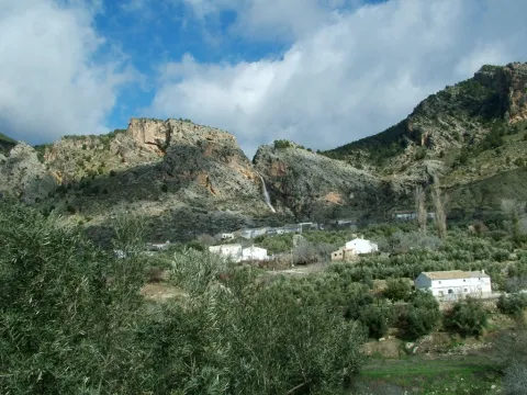
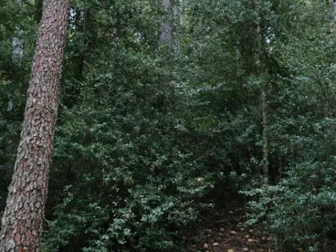
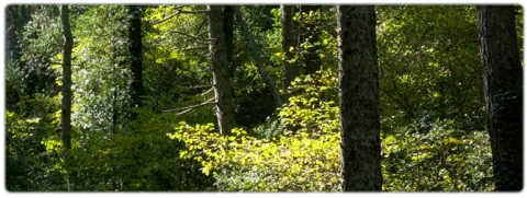
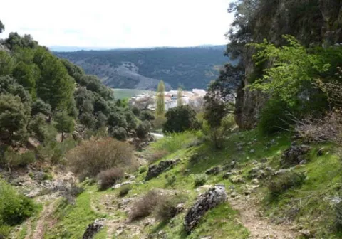
The hazelnut is presented in several places in the Park, usually in the area of Segura and in it we will see it. In the high valley of Segura, between Pontones and the Utrera Strike, one of the most extensive hazelnuts of the Park is spread, presenting a good state of conservation, as it has preserved it from the transformation of the area by the human being.

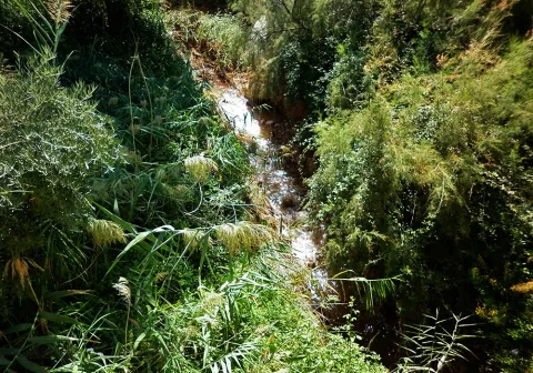
In the recommended area the hazelnut (Corylus avellana) is abundant, forming an extensive plant community, in which we find lanthanes (Viburnum lantana), worlds (Viburnum opulus), vidars (Clematis vitalba), liver, (Hepatia nobilis), parnasias (Parnassia palustres), wild strawberries (Fragaria vesca), orchids (Listera ovata, Dactyliorhiza elata), cardos (Cirsium pyrenaucas and several sagulis (S.), and Sallicola (S.). We also found repopulation choperas with the Populus x canadensis hybrid. This whole set forms a thick and wide forest in gallery, where hazelnut is the protagonist.

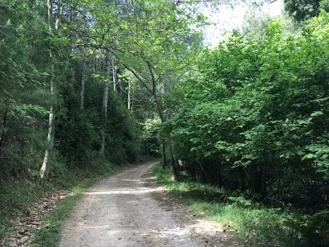
For our visit to the hazelnut we choose the head of the Segura River. We will go to Pontones and from there we will take the track that passes to the side of the Segura River, downstream, in the direction of the Masegoso cortijo. We can make it walk or by vehicle, but we will enjoy more of the walk, as it does not reach 5 km to the end.

Breve descripción

When we have talked about the "North in the South" we invite to discover the hazelnuts in the area of Las Azebeas, but there are them in many other places, forming exceptional exceptional plant communities, authentic more northern plant shelters that live in the South.
Ubicación
Latitud
37.772886
Longitud
-3.788329
Ubicación en el mapa
POINT (-3.788329 37.772886)
Tipos de punto de interés
Imágenes carrusel
imagen
Image
ave%20%281%29.jpg
Imagen principal
Desactivado
imagen
Image
avellanares%20%282%29.jpg
Imagen principal
Desactivado
Imágenes cabecera
imagen
Image
1.JPG
Imagen principal
Activado
Loading map
Preparing points of interest and routes...

Atochares

Submitted by brandcode_deweloper on
Id
919830
Descripción
Descripción larga

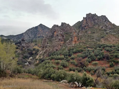
These semi-arid areas are the result of the gradual degradation of the ancient Mediterranean forest, which with an aridization of the climate has sculpted landscapes whose beauty is only overcome by their hostility and dryness, causing the plants to pass hard tests in order to live in these environments.

This vegetation is called xerophyll, because it lives in dry environments, with precipitation below 300 mm. annual. Among them are species such as albaida (Anthyllis cytisoides), sosas or salsoles (Salsola oppositifolia), salates (Suaeda spp., Hammada articulata), herb of the conjunctures (Ephedra fragilis), garbancers (Ononis fruticosa) and rabbit garbancillo (Ononis tridata). At times there are sabinas (Juniperus phoenicea), rosemary (Rosmarinus officinalis), male rosemary (Cistus clusii), rethemes (Retama sphaerocarpa), tomilos (Thymus zigis), some carrasco pine (Pinus halepensis) and some other lenticus (Pistacia lenticus), reminding us that this vegetation is the result of the destruction of an ancient Mediterranean forest.

But one of the most significant species of these areas is the caparra (Capparis spinosa), a culinary plant that its preparation in vinegar has been known from very old, and is now an essential element in the best European kitchens.

We suggest:

  • The best times for this visit are in autumn and early spring.

On this trip we will not spare the car. We will head to Huesa and from there we will take the road of Pozo Alcón and follow it to the crossing that leads us to the village of Ceal. From this village comes a narrow and tortuous road that goes to Hinojares, which passes through a semi-arid area, populated by scavenges (Stypa tenacissima), which in the area has the name of an atocha, so a nochar is a spartal.

Breve descripción

We will not know all the wealth of the vegetation of the Park without visiting the semi-arid areas of its southern end. They are hard, unwooded landscapes, with an extreme climate of very high temperatures, but that hardness is overcome by the beauty of its landscapes, its colors and its vegetation that is extraordinarily interesting by the number of unique species in the territory it houses.

Ubicación
Latitud
37.715542
Longitud
-2.998754
Municipio
Ubicación en el mapa
POINT (-2.998754 37.715542)
Tipos de punto de interés
Imágenes carrusel
imagen
Image
35b5650ec4c04bdc2304a80e5ac58abd.jpg
Imagen principal
Desactivado
imagen
Image
hinojares9.jpg
Imagen principal
Desactivado
Imágenes cabecera
imagen
Image
14761066Master.jpg
Imagen principal
Activado
Loading map
Preparing points of interest and routes...

Holly and Lauroid Forests de alta montaña

Submitted by brandcode_deweloper on
Id
919588
Descripción
Descripción larga

By withdrawing the ice, the Azebos undertook a migration to the contrary, reconquering to the north the lost territory, so we can say that all the Azebos of Europe are descendants of ours. So, when we enjoy this forest, let us remember that these stalks are waiting for the next glaciation... so that, after it, Europe will again have stalks.

This forest is accompanied as a vault by a canopy of salgary pines and a tapestry of ferns (Pterydium aquilinum) and herbaceas (Dactylis glomerata, Poa nemoralis, Festuca nevadensis, Brachypodium sylvaticum, Viola kitaibeliana, Bellis perennis, Sanicula europea) and others better known as the wild strawberry (Fragaria vesca), the tears of David or the seal of Solomon (Polygonatum), and the greater (Pallatago (Pallatago).

LOCATION

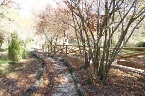
We take the road that leaves a mile from Siles in the direction of the Azebeas. We follow it until we reach a crossing that comes to our right, is wide and has a barrier and a sign that announces us the public use path of Navalperal. It is only necessary to walk half a mile before reaching the forest house of the Azebeas. Both to our right and to our left is a splendid forest of steels accompanied by hazelnuts.

Breve descripción

The acebedas, where the dominant tree or bush is the acebo (Ilex aquifolium), is such a closed formation that it does not allow the development of sotoscala. Finding a forest like this in the south, in Andalusia, is a luxury. These forests extend through the center and north of the Peninsula, and the ones we have here are a vegetable jewel. These balls came here thousands of years ago, pushed south by the cold and ice of the last glaciation.

Ubicación
Latitud
38.387861
Longitud
-2.582637
Distrito
Municipio
Ubicación en el mapa
POINT (-2.582637 38.387861)
Imágenes carrusel
imagen
Image
604_AR_01.jpg
Imagen principal
Desactivado
imagen
Image
Acebedas-2.jpg
Imagen principal
Desactivado
imagen
Image
Acebedas.png
Imagen principal
Desactivado
Imágenes cabecera
imagen
Image
acebeas.jpg
Imagen principal
Activado
Loading map
Preparing points of interest and routes...