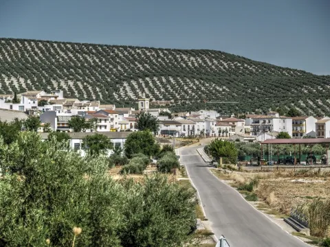
Parque de las Eras
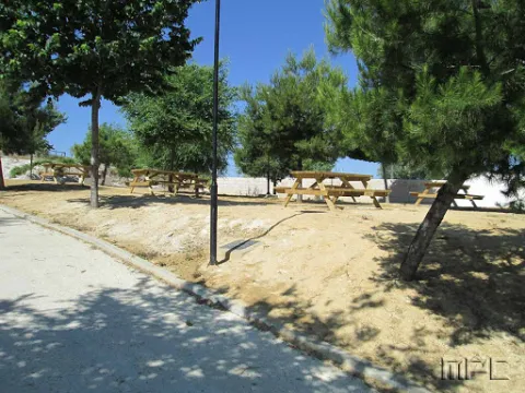
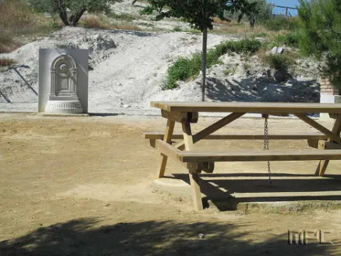
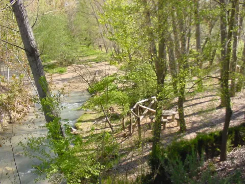
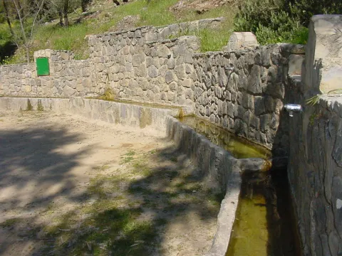
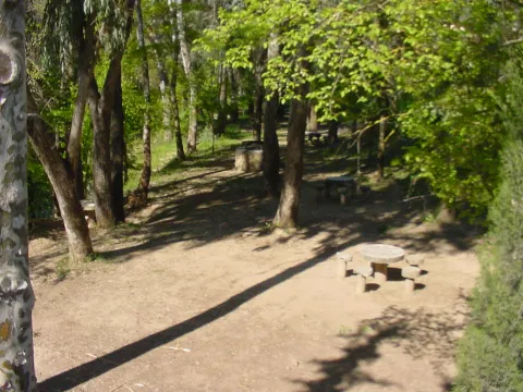
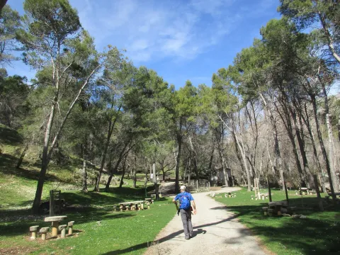
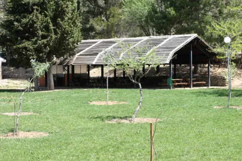
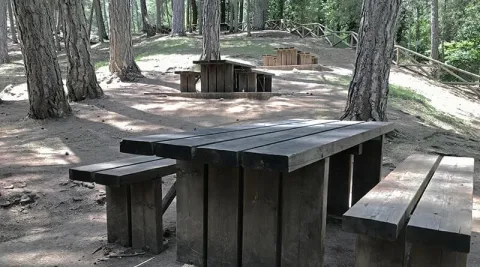
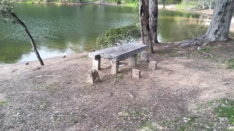
It is a very quiet area, surrounded by endless olive fields, where there are fountains with drinking water, barbecues, tables and seats. In the river you can practice, in season, fishing of the common trout and the barb, or practice swimming.
This recreational area is located in the area known as the Palomillas Bridge
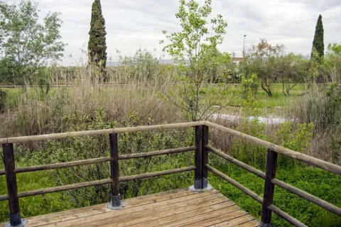
It is a perfectly equipped road that has an interesting look, a water source and an information panel on landscape interpretation.
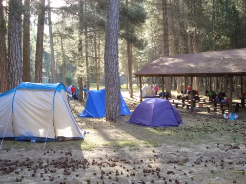
The landscape surrounding this equipment, located on the rest of a pecuary road, is typically olive-growing and invites hiking. The facilities, with a capacity for a hundred people, have areas for tents, roofed dining, kitchen, toilets and showers.
It is accessed from the JA-1107 road that goes from Torres to Albanchez de Magina; after walking about two km, in the middle of a curve, to the right, it connects a lane that, with a total length of one kilometre, leads us directly to this camping area of the Sierra Magina Natural Park called Hondacabras.
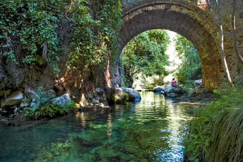
They have in the area that in the 15th century, when Isabel La Católica was traveling to the conquest of Granada from Córdoba, it reached this point where Guadalquivir was so grown that it did not allow its passage. In one night, according to the book, his gentlemen raised this robust bridge that allowed him to reach Baza and Guadix.
The place is beautiful by itself: the bridge is surrounded by fig trees and wild rosals. And in the paths around it you can observe boj, strawberries and hazelnuts.
On the right side is joined the Maillar stream - with another beautiful stone bridge - which makes in rainy years the place an authentic vergel and a very busy bathing area.
We suggest:
In Cazorla take the Sierra road (A-319) until the crossing known as the Empalme del Valle, 17 km. Turn right on the JF-7092 road and after passing the bridge over the Guadalquivir River (4 km from the Empalme) follow the right track (JF-7091) that after two kilometres reaches the Bridge.
The Herrera Bridge and its surroundings are one of the best known places in the Alto Guadalquivir. It is a great place to start some of the most interesting routes of the Sierra de Cazorla, and the enranche that involves its recreational area will allow you to rest, refresh and enjoy a Guadalquivir river, which at this point already contains a considerable flow. The bridge, built on porous limestone armchairs - here called toba - is perfectly integrated into the landscape.
This peri-urban environmental park occupies 11 hectares of land and has recreational areas, bike lane, trails, viewpoints, wooden buildings, classrooms, aviary, artificial lake and botanical garden. In the Cercado del Ciprés we will enjoy a beautiful courtyard of oranges, which presents a system of irrigation lacquers that reminiscent of the gardens of Muslim design. Here are the offices of the Sierras de Andújar Natural Park as well as a visitor information point. The environmental education activities they organize include the scientific nesting of birds and workshops on beekeeping, fishing and identification of animal prints.
The Cercado del Ciprés forest park is located on the outskirts of the city of Andújar, next to the Alto Guadalquivir Regional Hospital, on the Rubiales Road and just 250 m from the Andalusian motorway.
Also known as "Senda de los Adelfares," it is a forest in a gallery made up of adelfas that develops along the birth of the Cuadros River, in the Natural Park of Sierra Magina. It is the most extensive formation in southern Spain with a high degree of conservation.
Next to the shrine of the Virgin of Cuadros, south of the city centre, about 4 km. of Bedmar; access directly by the road JV-3.222.
Natural area of great beauty of water and tiled wires that invite to relax, turned into a recreational area, magnificent enclave to spend a pleasant day of countryside surrounded by nature, enjoy the environment, rest under the dense tree grove or take some hiking route. The space has a magnificent road with banks, tables, stationery, a small bar, children's playground and a large parking lot. This area attracts thousands of visitors from many municipalities, some very far away.
From the same pozas of the Nacimiento, a channel known by the neighbors by "el Caz," that allows to water the orchards of the river along several kilometres, and that rejoins the river in the village, next to the Roman bridge of Triana, where the permits for the fishing stop "El Carrizal," whose upper section is the same Birth of the San Juan River, were issued. The nearest pool to the river was used for the release of trout and fishing for both people with reduced mobility and children, learning the values and techniques needed to manage themselves within this sport and get their own catches (there is a children's fishing school in the town in the summer, taking advantage of school holidays).
The fishing ground was about 4 km. where roads have been enabled, making many parts of the banks practicable and facilitating the formation of pokes, where fish can find better shelter and more water.
Fishing could also be practiced in the Valdepeñas Bridge, where one of the most remarkable pozas of the fishing ground is formed, both by the number of trout and by the quality of the trout. The environment of Nacimiento del Río San Juan is characterized by a typical Mediterranean landscape, with the oak and the coscoja as protagonists. Other plants present are the lentif, the white jara, the thyme and the rosemary, but, without a doubt, the white lamo is the most abundant species in the Birth and on the river bank. In this we can see fertile gardens that make up the "Vega castillera," which acquires its maximum splendor in spring with the flowering of the cherry trees, very abundant in the area, irrigated from the very pods of the birth by "the Caz" mentioned above.
This area, owned by the City Council, houses a multitude of outdoor physical activities.
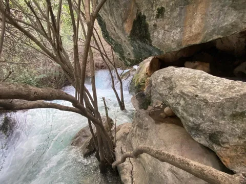
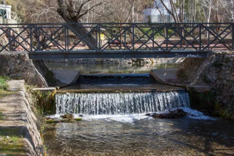
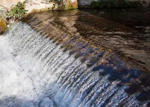
The Birth of the San Juan River is located in the municipal term of Castillo de Locubín in the depression between the hills of the Sierrezuela and the Nava. This idyllic landscape, surrounded by vegetation, has in the abundance water that springs from the interior of the mountain its main characteristic. It is a place of great beauty, where several pools of crystalline water have been naturally formed, from which the groundwater springs, forming beautiful and intermittent columns of bubbles to the surface. In addition, we can observe small waterfalls and channels. It is accessed by the road C-3221, which links Castillo with the nearby town of Valdepeñas de Jaén.
Location: West of the city centre.
Distance: 600 m.
Medium: Tourism vehicle.
Access route: Directly from the urban centre via the asphalt road JV-2,044.
A leisure place with shade areas, banks, tables and water sources.
Tranco road A-319, in the surroundings of the Tranco reservoir.
Large area surrounded by lush vegetation, with fountain and wooden dining area, crossed by a stream. When you are not occupied by a camp, it is an excellent place to eat and rest. Very close is also the delicious place where the village of Bujaraiza was, abandoned since the construction of the Tranco reservoir.