Saltar al contenido principal

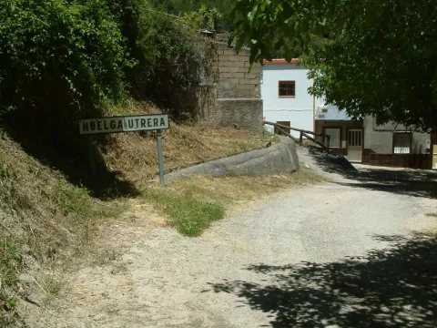
Huelga Utrera

Submitted by brandcode_deweloper on
Id
659543
Descripción larga

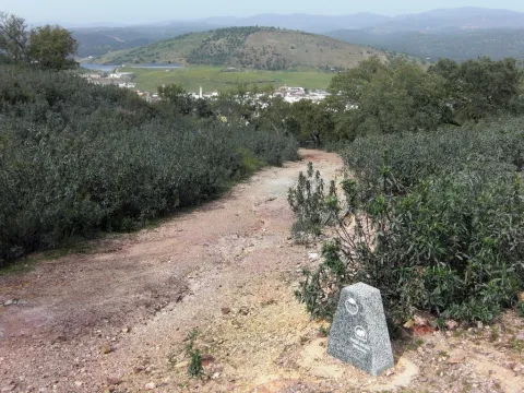
Ancient gardens turned into meadows when they are left without use, fruit, ferns, pine, oak, are present throughout the village. The houses are located around a square where we find silence only broken by the sound of the water of the fountain. Unpossible alleyways and windows of another time live together with rehabilitated houses and old laundry houses no longer used.

In the Utrera Strike there is a small path that goes towards the Water Cave that is worth the spectacular cave and the landscape surrounding the village.

Breve descripción

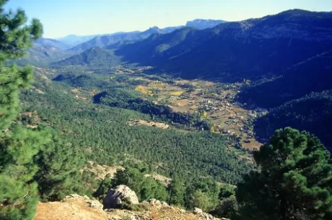
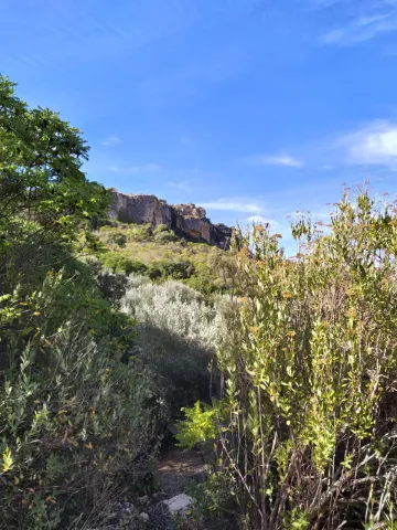
Utrera strike is surprised by its vegetation and the feeling of meeting us in forests of other latitudes. The water of the Segura River passes just below the village, leaving an impressive riverside with lush vegetation.

Latitud
38.167394
Longitud
-2.609647
Ubicación en el mapa
POINT (-2.609647 38.167394)
imagen
Image
huelgaUtrera%20%281%29.jpeg
Imagen principal
Activado
imagen
Image
huelga.jpg
Imagen principal
Desactivado

Nature

icon-intereses-naturaleza

Friends

icon-intereses-amigos

Adventure

icon-intereses-aventura

Culture

icon-intereses-cultura

Culture of the Bull

icon-intereses-cultura-del-toro

Sport

icon-intereses-deporte

Eco-friendly

icon-intereses-eco-friendly

For couples

icon-intereses-en-pareja

Family

icon-intereses-familia

Gastronomy

icon-intereses-gastronomia

Municipality

icon-intereses-municipio

Low-cost tourism

icon-intereses-turismo-low-cost

Solo travel

icon-intereses-viajar-solo
Huelga Utrera
Desactivado
Coordenadas / Huso 30S
30S x = 534194 and = 4224460

Route Ornitológica Sierra de Cazorla

Submitted by brandcode_deweloper on
Id
6216167
Descripción larga

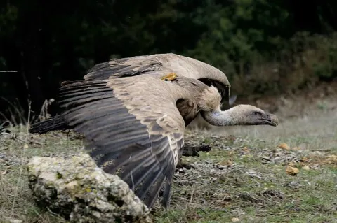
From here, with a little patience and luck, we can take advantage of the nearby feeding station for scavenging birds to enjoy the majestic flight of the griffon vulture, the most numerous of our large birds of prey. It may delight us by gliding just a few metres above the treetops of the surrounding pine forest. Other birds of prey can also be observed from here, including common buzzards and booted eagles.

From here, we continue along the same road until reaching Empalme del Valle, the point where this route connects with the main route when starting from the village of Arroyo Frío. We then turn right towards Vadillo-Castril. At this former timber settlement on the banks of the Guadalquivir River, we can make a second stop. Either by walking along the riverbanks through the village or by spending a little more time completing the circular Cerrada del Utrero trail on foot, which is also of ornithological interest, we can observe a wide variety of riverside bird species. These include the white-throated dipper, a reliable indicator of good water quality; the grey wagtail, moving among the rocks emerging from the water; Cetti’s warblers; and, in spring, the colourful golden oriole, among others.

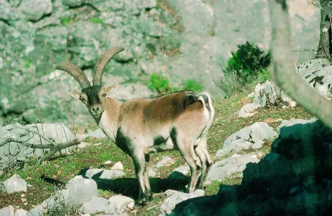
Continuing onwards, after crossing the Iron Bridge beside the Cerrada del Utrero trail, we reach a fork where we turn left and climb towards Las Navas. We leave behind the Lanchales de Linarejos, a beautiful karst landscape where, with a little patience, it is possible to observe the agile Iberian ibex. By remaining quiet and carefully examining the trunks of the surrounding trees, we may also see several small but beautiful woodland bird species, such as Eurasian nuthatches, short-toed treecreepers, coal tits and long-tailed tits. We continue to the Los Collados forest house, where the unpaved forest track begins. This track takes us along the Cuesta del Bazar to Nava del Espino.

A little further uphill, on our right, we find the first viewpoint overlooking Los Poyos de la Mesa. Griffon vultures are frequently seen flying here, and with luck we may also observe golden eagles, booted eagles and short-toed snake eagles. The latter are present during spring and summer, after returning to these mountains from their wintering grounds in Africa.

We continue climbing through beautiful forests of maritime pine, holm oak and a number of old Portuguese oaks. The undergrowth consists of rosemary, marjoram, turpentine trees and rockroses. As we ascend the Cuesta del Bazar, the maritime pines gradually give way to majestic European black pines. We are now in the Oro-Mediterranean vegetation zone, where these slender pine trees grow alongside centuries-old Portuguese oaks, hawthorns, barberries and prickly cushion plants.

We have reached the beginning of Nava del Espino, a beautiful high plateau covered with dense European black pine forests and high-mountain grasslands. It is surrounded by striking peaks such as Cabeza del Tejo and Cerro de Pedro Cerrillo, where fallow deer can often be seen running swiftly across the landscape, grazing or resting beneath the shade of a pine tree.

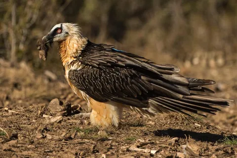
We continue along the forest track, passing the Fuente de la Garganta recreational area, until reaching La Esperilla, where the second viewpoint dedicated to Félix Rodríguez de la Fuente is located. This viewpoint overlooks Nava de San Pedro and Torcales del Lobo. It is well worth spending some time here and using binoculars to scan this magnificent landscape in search of a great spotted woodpecker, green woodpecker or carrion crow hidden among the scrub or the interwoven branches of the replanted poplar groves. Looking towards the sky, it is not unusual to see the silhouette of a golden eagle, peregrine falcon, griffon vulture, raven or one of the bearded vultures released as part of the species reintroduction programme. The Bearded Vulture Captive Breeding Centre is now located beside the former Nava de San Pedro Game Park. This ambitious project is producing successful results, as this threatened species has once again returned to the skies above these mountains.

We continue along the route and, after passing through the cutting, reach a viewpoint overlooking Vado de las Carretas. On days with good visibility, it is possible to see as far as Sierra Nevada National Park. A little further uphill, beside the former farmsteads of Poyo Manquillo, a short path on our left leads to the third viewpoint. It overlooks a beautiful holm oak woodland growing over limestone slabs, as well as the impressive cliffs of Torcales del Lobo and, further away, Cerro de las Cabañas, Puerto Pinillo and Torcal de Linares.

We return to our vehicle and, after travelling approximately two kilometres, reach the fourth viewpoint in the area known as Estrecho de los Perales. Here, beautiful and unusual geological formations surround the crystal-clear waters of the Valdetrillos Stream. Agile mouflons and male Iberian ibex can often be seen climbing the vertical rock walls, while golden eagles, griffon vultures and booted eagles may be observed flying majestically overhead. Flocks of unusual birds with crossed bills may also be seen. These are crossbills, remarkably adapted to feeding in pine forests and using their distinctive bills to extract seeds from pine cones. Another small bird that may be observed here is the citril finch.

We continue along the forest track, passing the former Fuente Acero forest house. One kilometre further on, we reach beautiful and impressive limestone cliffs, dominated by the peaks of Loma del Caballo de Acero, Alto de la Cabrilla and Navalasno. These were the last places where the bearded vulture nested before disappearing from the area in 1986–1987.

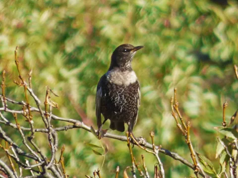
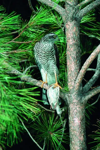
Continuing along the forest track and passing Collado de Fuente Bermejo, we arrive at Collado de la Zarca. On our left stands an impressive European black pine more than 300 years old. From here, there are beautiful panoramic views over the Guadalentín Ravine and the Natural Park’s great limestone formations, including Navalasno, Poyos de la Carilarga and La Cabrilla. At the end of the route, we reach the area known as Ramblaseca, the gateway to the renowned Campos de Hernán Perea. This high plateau has sparse vegetation because of the harsh environmental conditions and, above all, the pressure of livestock grazing. An endless variety of small birds can be seen in these open uplands, taking advantage of livestock drinking troughs as sources of water. These include chaffinches, crossbills, mistle thrushes, common rock thrushes and ring ouzels, with the latter two being more frequent in winter. Northern goshawks and Eurasian sparrowhawks may also be seen waiting for an opportunity to catch one of the birds that lowers its guard while drinking.

All that remains is to return along the same route to the Puente de las Herrerías junction. Here, we can either return along the same route used on the outward journey or take the road leading to the source of the Guadalquivir River and then continue to El Chorro. There, we can enjoy views of a griffon vulture colony situated on vertical cliffs of imposing beauty. Griffon vultures, red-billed choughs and crag martins can be observed, as well as Egyptian vultures and Alpine swifts during the breeding season. Please note that this alternative route considerably increases both the duration and distance of the journey, so it is advisable to complete it on a separate day.

Breve descripción

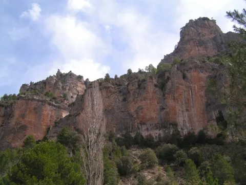
It begins in Cazorla, a village of a unique beauty catalogued as an artistic historical ensemble that is also the head of the Sierra de Cazorla region. We take direction to the Natural Park on the A-319 road, through the village of La Iruela and Burunchel, just before entering its limits, we continue on the winding mountain road, ascending to reach the Port of the Palomas and the Paso del Aire, at this point we can take advantage to make the first stop contemplating the difference of landscape between the slope facing the Guadalquivir Valley and the direction to the agricultural countryside covered by the olive mantle that covers these lands.

Latitud
37.91334
Longitud
-3.002196
Municipio
Ubicación en el mapa
POINT (-3.002196 37.91334)
imagen
Image
sierra-cazorla%20%282%29.png
Imagen principal
Activado
imagen
Image
quebrantahuesos-espana-3.jpg
Imagen principal
Desactivado
imagen
Image
buitres.jpg
Imagen principal
Desactivado
imagen
Image
33621933485_2b6a232942_b.jpg
Imagen principal
Desactivado
imagen
Image
Sierra-Cazorla.jpg
Imagen principal
Desactivado
imagen
Image
P1450025.JPG
Imagen principal
Desactivado
imagen
Image
Natu035.jpg
Imagen principal
Desactivado
imagen
Image
Natu206.jpg
Imagen principal
Desactivado

Nature

icon-intereses-naturaleza

Friends

icon-intereses-amigos

Adventure

icon-intereses-aventura

Culture

icon-intereses-cultura

Sport

icon-intereses-deporte

Eco-friendly

icon-intereses-eco-friendly

For couples

icon-intereses-en-pareja

Family

icon-intereses-familia

Gastronomy

icon-intereses-gastronomia

Municipality

icon-intereses-municipio

Low-cost tourism

icon-intereses-turismo-low-cost

Solo travel

icon-intereses-viajar-solo
Baja
Ruta Ornitológica Sierra de Cazorla
All year round
Desactivado
Coordenadas / Huso 30S
30S x = 499807 and = 4196200

Piedra del Agujero

Submitted by brandcode_deweloper on
Id
5930013
Breve descripción

It is located between Navalperal and Cerro Bucentaina near the Camping de la Canalica.
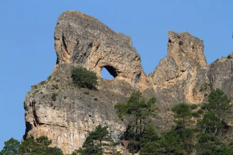
Also known as Horadada Stone, the Hole Stone marks a geomorphological milestone in the landscape.
It is part of a north-south mountain alignment, whose main reliefs are Navalperal and Bucentaina. The "Hole Stone" is a magnificent example of uniform relief in dolomies. These are dolomies with subhorizontal stratification with several caves that cross the peak, and with a very well developed "dentado" relief.
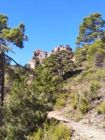
Access is only possible on foot, but the environment can be visited on the route "Circular Peña del Olivar" from the Sierra de Segura Road Network.

Latitud
38.388735
Longitud
-2.589807
Distrito
Municipio
Ubicación en el mapa
POINT (-2.589807 38.388735)
imagen
Image
1%20%281%29.jpg
Imagen principal
Activado
imagen
Image
Piedra%20del%20Agujero.jpg
Imagen principal
Desactivado

Nature

icon-intereses-naturaleza
Piedra del Agujero
Desactivado
Coordenadas / Huso 30S
30S x = 535823 and = 4249027
Tramo de asfalto o cemento
 
Tramo de pista o camino forestal
 
Tramo de vía pecuaria
 
Tramo de senda
 

Junta de los Arroandos

Submitted by brandcode_deweloper on
Id
5927260
Breve descripción

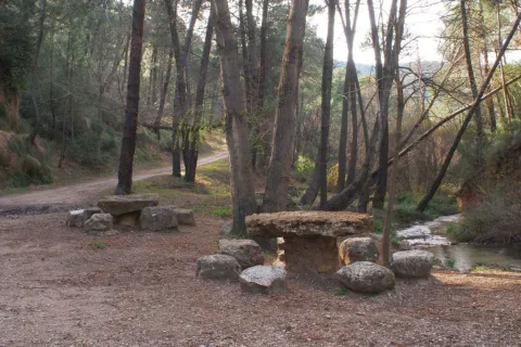
The Recreative Area Junta de los Arroyos or also known as Fuente de la Almoteja is located about 2.5 km from Siles, and is accessed by the road past the Peña del Olivar is taken the forest track that reaches the Junta de los Arroyos, where the Arroyo de la Canalica and the Arroyo de los Tejos join. But first the road passes by the Fountain of La Almoteja, where is the area with tables and stone seats where you can enjoy a day of field. It also has a large game area and a barbecues area that can be used within the dates that the Board allows to light fires. (The allowed dates will be published in our news section.)

Latitud
38.38716
Longitud
-2.580461
Distrito
Municipio
Ubicación en el mapa
POINT (-2.580461 38.38716)
imagen
Image
1%20%281%29.jpg
Imagen principal
Activado
imagen
Image
Junta%20de%20los%20Arroyos%202.jpg
Imagen principal
Desactivado

Friends

icon-intereses-amigos

Adventure

icon-intereses-aventura

Culture

icon-intereses-cultura

Culture of the Bull

icon-intereses-cultura-del-toro

Sport

icon-intereses-deporte

Eco-friendly

icon-intereses-eco-friendly

For couples

icon-intereses-en-pareja

Family

icon-intereses-familia

Gastronomy

icon-intereses-gastronomia

Municipality

icon-intereses-municipio

Nature

icon-intereses-naturaleza

Low-cost tourism

icon-intereses-turismo-low-cost

Solo travel

icon-intereses-viajar-solo
Junta de los Arroyos
Desactivado
Coordenadas / Huso 30S
30S x = 536640 and = 4248856

Viewpoint la Raanduela

Submitted by brandcode_deweloper on
Id
5925882
Descripción larga

Information and Observations

The 25 m that separate the forest track from the lookout is not suitable for people with disabilities.

Breve descripción

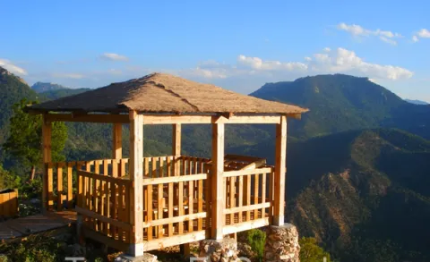
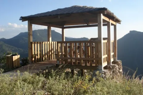
The view of the rayuela is located at the foot of the Summit of the Puntal de la Rayuela from where you can see magnificent views of Siles next to the Embalse, as well as having privileged views of all the Sierra de Segura.

Access to the lookout is done through a forest track that will leave us just 25 m from the lookout's shed.

Latitud
38.369548
Longitud
-2.564994
Distrito
Municipio
Ubicación en el mapa
POINT (-2.564994 38.369548)
imagen
Image
12.jpg
Imagen principal
Activado
imagen
Image
rayuela.jpg
Imagen principal
Desactivado

Friends

icon-intereses-amigos

Nature

icon-intereses-naturaleza
Mirador de la Rayuela
Desactivado
Coordenadas / Huso 30S
30S x = 538000 and = 4246908
Tramo de asfalto o cemento
 
Tramo de pista o camino forestal
 
Tramo de vía pecuaria
 
Tramo de senda
 

Senderismo el Pocico

Submitted by brandcode_deweloper on
Id
5714152
Descripción larga

It begins in the Plaza de España de Jódar, where we can enjoy the facade of the facade of the Church of the Assumption (16th century). We continue on the c / General Noriega to Jódar Castle. We went up the c / Plaza del Castillo to the Hall of Nature Felix R. de la Fuente. From there, through the peri-urban park we access the Mirador de Traschina.

Behind us is the starting point of our "Los Pocicos" path, outside the city centre. We can get information on the information panel. We will follow an old well-defined horseshoe path leaving the town behind. We will gradually go up to a small hill where there was the Hermitage of San Cristobal, which gives name to this hill. We divised an ancient olive tree still in operation called "Primera Pocico." It has an old mine and a small water spring. We'll look back for a nice view.

We will follow a small stretch of lane about 100 m and we will take the path to the left again. After moving through almonds, we will pass through a short stretch of olive trees until we connect back to the lane at the end of the climb.

From here on the ground changes. We can observe the "Second Pocco" at the front, between olive lands and some isolated carrasco pines. Our goal is the rock formations we have in the West direction. When we reach the lane curve, we will take the second path that ascends between olive trees. We will continue straight on the path that leads us to the "Second Pocco" hill. From here we will have wonderful views of the Cazorla Natural Park, Segura and Las Villas and the Guadalquivir Valley.
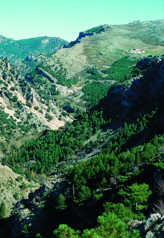
At this point we surround the limestone formations to come down by the so-called Turrilla Hace. This is an ancient land of rain cultivation. The coat of the rock has an old cattle abrevadero, and on this one we must admire a curious rocky pinnacle: Peña Pescezo. We will go down among the almonds to continue our path. At 100 meters down we will take a lane with a certain slope that we will climb to turn left and continue our route.
During the return we will have another perspective of the town of Jódar as we walk between arbustive and herbaceous vegetation. The mountain is dominated by spartum: raw material of great importance to Jódar in the past.

Breve descripción

This hiking route has a linear part and a circular final section. It has a total distance of 7 km.

Latitud
37.844513
Longitud
-3.354832
Distrito
Municipio
Ubicación en el mapa
POINT (-3.354832 37.844513)
imagen
Image
10.jpg
Imagen principal
Activado
imagen
Image
turismoActivo1.jpg
Imagen principal
Desactivado

Nature

icon-intereses-naturaleza

Friends

icon-intereses-amigos

Adventure

icon-intereses-aventura

Culture

icon-intereses-cultura

Sport

icon-intereses-deporte

Eco-friendly

icon-intereses-eco-friendly

For couples

icon-intereses-en-pareja

Family

icon-intereses-familia

Gastronomy

icon-intereses-gastronomia

Municipality

icon-intereses-municipio

Low-cost tourism

icon-intereses-turismo-low-cost

Solo travel

icon-intereses-viajar-solo
Senderismo el Pocico
Desactivado
Coordenadas / Huso 30S
30S x = 468781 and = 4188623

Las Chorreras natural site

Submitted by brandcode_deweloper on
Id
5669130
Descripción larga

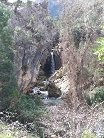
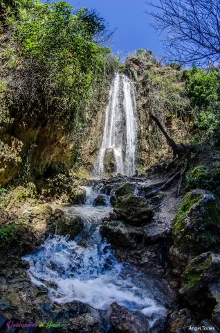
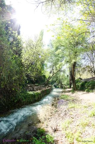
The itinerary can be made from the Paseo de Donantes de Sangre and the Park del Chorrillo, from which we enter the road to the Vadillo, accompanying the river all the way and crossing its wooden bridges. But in addition to what is named, one of the most striking points is the great cataract that we find in this area of the South Sierra. A cataract of more than 15 meters that falls before us and from which we can enjoy in the same base as its waters fall and join the Vadillo River.

This whole route will give us beautiful moments that will leave us astonished, from the great waterfall, passing through the bridges that cross the Vadillo River or the area of the sleeping trees. From beginning to end it is a dream place, as taken from a story and is only a step away from Valdepeñas de Jaén.

Breve descripción

As if of an oasis, the site of the Chorras crosses Valdepeñas de Jaén, a serpenteous river wrapped by huge trees that make this one, a unique and spectacular place, where to enter into it means to immerse itself in a different place, surrounded by nature and tranquility where the only sounds that surround us are the singing of the birds to are of the brave waters that slide and fall over and over again by countless jumps throughout the course.

A tour that from its birth to the Paseo de Donantes de Sangre is more than 1,000 meters, and all of this is a step from Valdepeñas de Jaén.

Latitud
37.587193
Longitud
-3.812353
Distrito
Ubicación en el mapa
POINT (-3.812353 37.587193)
imagen
Image
9%20%281%29.jpg
Imagen principal
Activado
imagen
Image
11.jpg
Imagen principal
Desactivado

Family

icon-intereses-familia

Friends

icon-intereses-amigos

Culture of the Bull

icon-intereses-cultura-del-toro

Nature

icon-intereses-naturaleza

Adventure

icon-intereses-aventura

Solo travel

icon-intereses-viajar-solo

Culture

icon-intereses-cultura

Gastronomy

icon-intereses-gastronomia

Sport

icon-intereses-deporte

Municipality

icon-intereses-municipio

Low-cost tourism

icon-intereses-turismo-low-cost

Eco-friendly

icon-intereses-eco-friendly

For couples

icon-intereses-en-pareja
Enclave natural de Las Chorreras
Desactivado
Coordenadas / Huso 30S
30S x = 428279 and = 4160325
Tramo de asfalto o cemento
 
Tramo de pista o camino forestal
 
Tramo de vía pecuaria
 
Tramo de senda
 

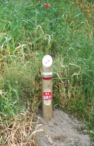
El Trail de Gran Recorrido GR 7, Trail Europeo E-4

Submitted by brandcode_deweloper on
Id
3919177
Breve descripción

It is the longest path in Europe. Alcalá la Real is part of this path and perhaps we stand before the stretch of the path, where we can see the historical presence more; the stretch that we are going to begin, it circulates between some of the villages of Alcalá la Real; we will pass by old stone crosses, watchmen, who were watching enemy incursions. We will run between ancient stone walls that protected the fields of cultivation, from the passage of the cattle, that passed through the crossroads of cascades and cords that are in the area of moor before reaching the population.

Latitud
37.4614
Longitud
-3.9222
Distrito
Municipio
Ubicación en el mapa
POINT (-3.9222 37.4614)
imagen
Image
2%20%281%29.jpeg
Imagen principal
Activado

Nature

icon-intereses-naturaleza

Friends

icon-intereses-amigos

Adventure

icon-intereses-aventura

Culture

icon-intereses-cultura

Sport

icon-intereses-deporte

Eco-friendly

icon-intereses-eco-friendly

For couples

icon-intereses-en-pareja

Family

icon-intereses-familia

Gastronomy

icon-intereses-gastronomia

Municipality

icon-intereses-municipio

Low-cost tourism

icon-intereses-turismo-low-cost

Solo travel

icon-intereses-viajar-solo
El Sendero de Gran Recorrido GR 7, Sendero Europeo E-4
On foot
All year round
Activado
Tramo de asfalto o cemento
 
Tramo de pista o camino forestal
 
Tramo de vía pecuaria
 
Tramo de senda
 

Route de Los Zumaques

Submitted by brandcode_deweloper on
Id
3917355
Descripción larga

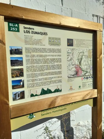
SLA-253 The Zumaques Path (9.4 km).

Breve descripción

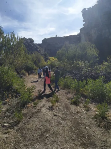
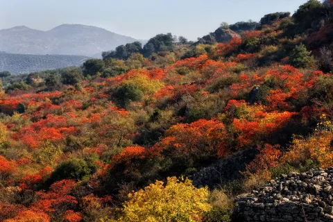
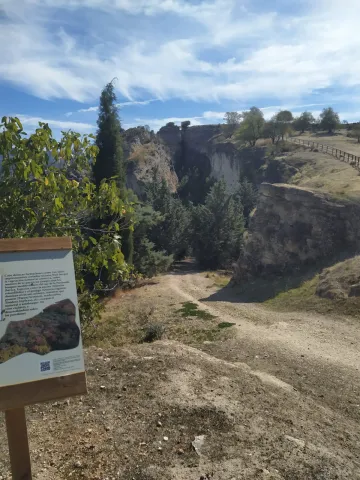
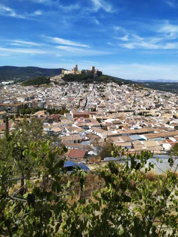
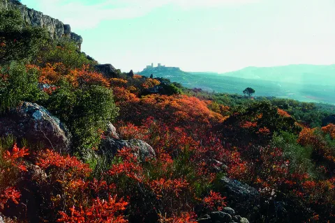
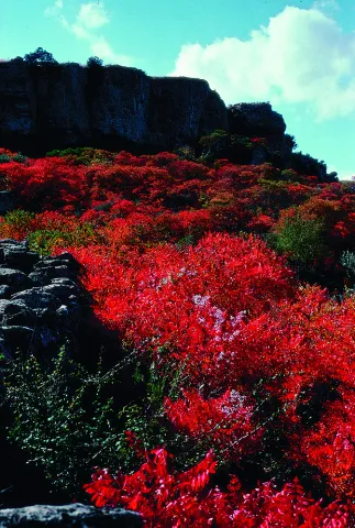
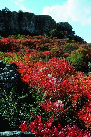
This path, approved by the National Mountain Federation, runs along the emblematic Zumaques route. Through canyons and trails you will enjoy "Los Tajos," impressive rocky cuts under which natural vegetation is preserved as a sample of what at one time were the Mediterranean forests of the southern Iberian Peninsula. This vegetation is an example of the zumala, this autumn plant, which takes a reddish tone that will fall in love with you. All this with wonderful views of the Fortress of the Mota. An impressive place to enjoy the sunset.

Latitud
37.463702
Longitud
-3.925019
Distrito
Municipio
Ubicación en el mapa
POINT (-3.925019 37.463702)
imagen
Image
9.jpeg
Imagen principal
Activado
imagen
Image
1.jpeg
Imagen principal
Desactivado
imagen
Image
2.jpeg
Imagen principal
Desactivado
imagen
Image
3.jpeg
Imagen principal
Desactivado
imagen
Image
5%20%281%29.jpeg
Imagen principal
Desactivado
imagen
Image
6.jpeg
Imagen principal
Desactivado
imagen
Image
7.jpeg
Imagen principal
Desactivado
imagen
Image
8.jpeg
Imagen principal
Desactivado
imagen
Image
10.jpg
Imagen principal
Desactivado
imagen
Image
11.jpeg
Imagen principal
Desactivado
imagen
Image
12.jpeg
Imagen principal
Desactivado
imagen
Image
Natu019.jpg
Imagen principal
Desactivado
imagen
Image
Natu024.jpg
Imagen principal
Desactivado
imagen
Image
Natu025.jpg
Imagen principal
Desactivado
imagen
Image
Natu397.jpg
Imagen principal
Desactivado

Nature

icon-intereses-naturaleza

Friends

icon-intereses-amigos

Adventure

icon-intereses-aventura

Culture

icon-intereses-cultura

Sport

icon-intereses-deporte

Eco-friendly

icon-intereses-eco-friendly

For couples

icon-intereses-en-pareja

Family

icon-intereses-familia

Gastronomy

icon-intereses-gastronomia

Municipality

icon-intereses-municipio

Low-cost tourism

icon-intereses-turismo-low-cost

Solo travel

icon-intereses-viajar-solo
Ruta de Los Zumaques
All year round
Desactivado
Coordenadas / Huso 30S
30S x = 418197 and = 4146716
Tramo de asfalto o cemento
 
Tramo de pista o camino forestal
 
Tramo de vía pecuaria
 
Tramo de senda
 

Mancha Real - Summit of Almadén - Torres

Submitted by brandcode_deweloper on
Id
2638904
Descripción larga

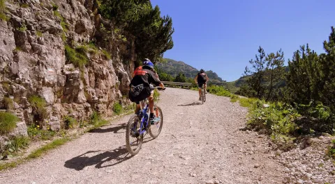
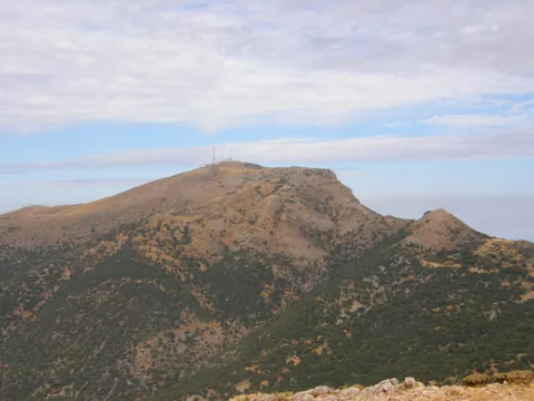
The tour begins in Mancha Real and ends in the neighboring town of Torres; therefore a route that makes it easier to leave a car in each village to organize the return after the route. If you are going to complete the tour you will need water, some food to replenish strength and a coat for the high mountain area. In Mancha Real you will only have to ask about the rise to the Almadén peak or the TV repeater - the summit is located a set of telephone and telecommunications antennas. Any neighbor will know you have to go south of the village, next to the Pila Fountain and the municipal pool. There, and on permanent rise by repopulation pineers, the lane rises from the repeater by which you will pedal for 10 km of climb next to the Sierra de la Peña del Eagle. The ascent will take you from the 850 m from Mancha Real to the plains of Bercho and Peña Blanca at 1,400 m. on the Jiennense countryside, where the landscape of mountain plains is appreciated, an area that was described in the Middle Ages, in the Chronicle of the Constable and the Book of the Alphony X Mountain, as... "an important place of major hunting, rich in boars, wolves, deer, bears and a closed vegetation." Two kilometers of plain and we are on the detour for the big climb, the step towards the high mountain: the Almadén summit pedaling by track. It's six and a half miles of ramps and sweat, but the effort is worth it. The summit, if the day is clear, is a privileged viewpoint in Andalusia. To the north is the entire great depression of Guadalquivir, closed by the horizon of Sierra Morena. The east shows you the other peaks of more than 2,000 meters from the Sierra Magina massif. To the south you will see the Sierra Nevada Natural Park horizon in Granada. The drop of the same 6.5 Km. (watch out for curves and speed!) leads us back to the previous crossing. From here a new stretch of 4 Km. by cherry plantations accompanies us to Navaparís, one of the most cuddly sources in the area. 2.5 kilometers more and you are on the local road - asphalt - that will take you in permanent descent (another 2.5 km more) between orchards, cherry fields and small cords to the Torres River, and the town of the same name.

Breve descripción

For mountain bike lovers in pure state. Large levels, long ascends, roads of changing floors, with several hours of pedal and with little water. The first ten kilometres are outside the Sierra Magina Natural Park. The rest of the journey goes through the protected natural space.

Latitud
37.7856
Longitud
-3.6156
Distrito
Municipio
Ubicación en el mapa
POINT (-3.6156 37.7856)
imagen
Image
cycling-1527260_1280.jpg
Imagen principal
Activado
imagen
Image
8613_0py6f5ox1mdut7an.jpg
Imagen principal
Desactivado
imagen
Image
40143113.jpg
Imagen principal
Desactivado
imagen
Image
Campos_de_cerezos_y_Torres_al_fondo.jpg
Imagen principal
Desactivado

Nature

icon-intereses-naturaleza

Friends

icon-intereses-amigos

Adventure

icon-intereses-aventura

Culture

icon-intereses-cultura

Sport

icon-intereses-deporte

Eco-friendly

icon-intereses-eco-friendly

For couples

icon-intereses-en-pareja

Family

icon-intereses-familia

Gastronomy

icon-intereses-gastronomia

Municipality

icon-intereses-municipio

Low-cost tourism

icon-intereses-turismo-low-cost

Solo travel

icon-intereses-viajar-solo
Mancha Real - Cumbre de Almadén - Torres
Desactivado

34 km of lanes and mountain slopes, in addition to the end by a local road paved with occasional traffic.

Tramo de asfalto o cemento
 
Tramo de pista o camino forestal
 
Tramo de vía pecuaria
 
Tramo de senda