Ravine ofl Gargantón
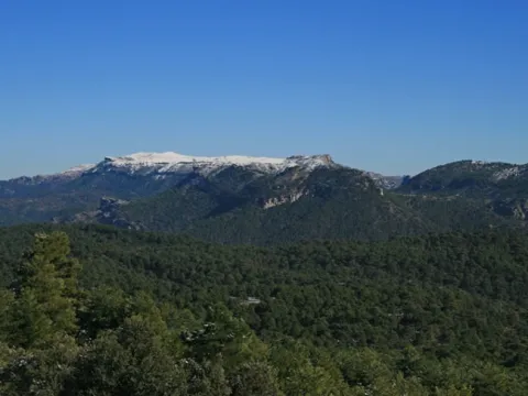
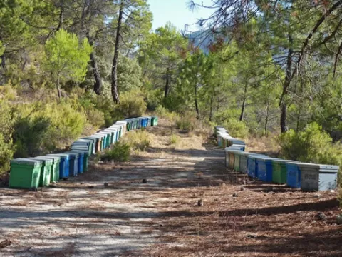
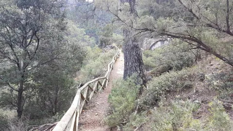
The track runs on the northwest face of Mount Bucentaina. When we have been walking for about 20 minutes we will reach the source of the Noguerón, from which there is plenty of water. In this place, the path PR-A 175 is separated by a path to the left. We're still on the main road.

At first we will see the mountains and olive groves around Siles, and then enter the forest. It is one of the best pineapples of carrasco pine the Natural Park. Just as the village of Puentehonda appears before us, we see on the left, on the same road, two gigantic and venerable specimens of carrasco pine, which are included in the Inventory of Singular Trees of Andalusia with the names of Pino de los Barrilos de Puentehonda and Pino del Cerro Bucentaina and respectively. The latter is 32 m high and 4.5 m in diameter at its base.
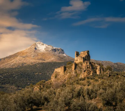
We will also find in our way an indication to go up a narrow and steep path to the remains of the castle of Puentehonda, whose ruins, corresponding to two towers, are half hidden in the thickness of the forest.
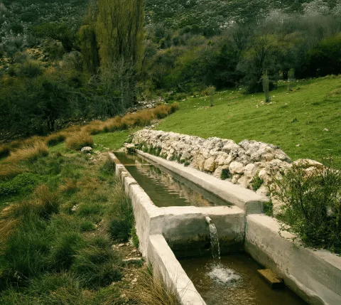
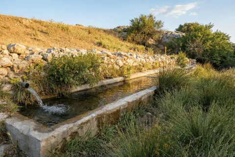
The village of Puentehonda, at the foot of the Peñalta, has a small recreational area with a fountain in which it is worth resting. The way back and forth, doing so quietly, will take about four hours.
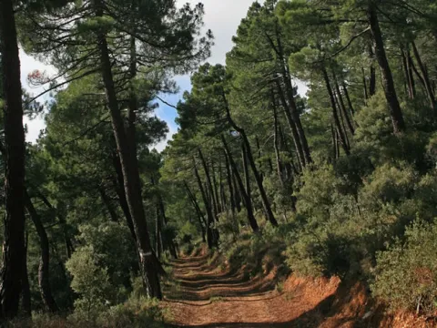
This route, of just under 5 km, runs along a narrow forest track that we recommend to walk. Its main attraction is the carrasco pine forest that crosses, under which grows a closed forest of oak, madroños and doves. The first kilometer is quite steep, but the rest is barely at a level. To reach the village of Puentehonda it is enough to follow the track, without taking any detour, until it ends up in another of greater width. The other side of the village is the village.
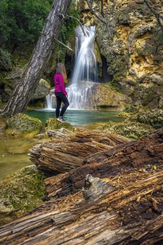
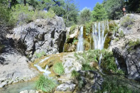
The Guadalquivir made this canyon narrow and deep, leaving some streams - like that of Linarej- hanging on the heights. When this stream is at the throat it forms the spectacular Cascade of Linarejos, which after standing in some pozas joins the Guadalquivir to descend to the valley.
The path is 1.6 km and on its circular route it surrounds the "Peñón del Lanchón" to return to the road in a pleasant walk of about 45 minutes.
In the final part of the road - just before returning to the asphalt - you reach a pine-resinero or black forest (Pinus pinaster) that was used to obtain the resin with which the water used to be made. In these trees you will see the furrows that the resineros opened to allow the exit of this sap.
We suggest:
The site known as Cerrada del Utroo-Linarejos is an amazing natural work sculpted by the Guadalquivir in the limestone that surrounds it. The path is on foot, and it will allow you to appreciate the sharp rocks and objades created by water over hundreds of thousands of years. It is a charming walk where the labiérnago, the cornicabra, and the willow accompany you to one of the most photographed places in the Park: the "horse tail" or Cascada de Linarejos.
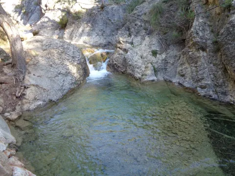
We deviate from the road, in order to see, upstream, a spectacular leap of water, with a large poza in its base, whose waters look an emerald green by the reflection of the lush vegetation surrounding it. Let us take our way back, to reach a small hill, with a very particular silhouette. It is the Paso del Aguartedo, place of impressive views towards the countryside.
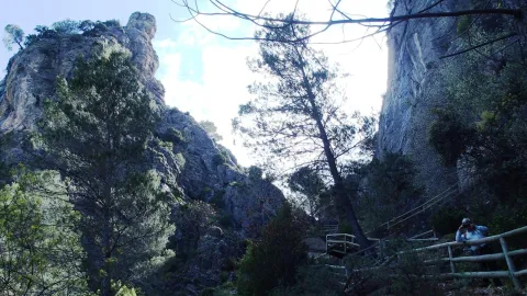
The path is conditioned and low, with a serpentating route, on a steep and rocky slope. On our left we found a striking oquity - an ashtray - where the shepherds used to keep their cattle. Below we reach a small lookout, where the path is fork. We follow the one on the right, until we get back to the channel to contemplate the majestic cascade of the Osera, perhaps one of the highest and beautiful waterfalls of Andalusia.
We continue along the path marked, by the narrow and steep ravine, enjoying the multiple pozas of the channel, to a walkway that crosses the river and back the path to the Odera lookout. If at this point we continue along the road that goes parallel to the channel, we will reach the explanade of La Osera, place where the vehicles are left when it is accessed from Mogón.
For these wonderful places it is very easy to observe the flight of the leonate vulture. The real eagle is also present and, if we look well, we can even see the little perdicular eagle.
We suggest:
The most recommended option is to make the path down. From the reservoir of Aguascebas, the walk is 4.5 km, from the km 18.8 of the road JH-7155 (Transversal de las Villas). At this point, to our left are the houses of the reservoir and, right behind it, we can observe an old quarry, where the path starts.
This path will allow you to discover one of the most charming environments in the Las Villas mountains. It runs along the natural channel of the river Aguascebas Chico, where we will discover unusual and unexpected corners. Following him, on our right, we found fenced land of ancient crops and a small cortijo half-melting. This place is known as "Las Ramblillas." In the deep valley you can see the river Aguascebas Chico.
Once the asphalt ramp is over, the most painful stretch of the road, we reach an excellent lookout that allows us to enjoy a good view of the reservoir and the Valentine Barrio. A little later the track runs parallel to the river. When it wanders the way, without crossing, we follow the shore to the corners full of charm that we will meet. Later we will be forced to leave the shore to access a lane. We continue upstream, until we reach the Dike Cascade, very easy to distinguish because in its crown it has stone walls. A little lower, hidden in the bush, a beautiful leap of water is hidden that we must not miss.
Overcoming the Cascade of the Dique, part of a path that, at first, crosses the channel twice and takes us to the head of the river. Leaving the bottom of the ravine for a long time, and then returning to it, when the road ends on a forest track, we reach the bottom of the Cerrada de Navas, where the Guazalanco offers one of its most beautiful pictures.
However, to get to this point from above and to make the way down the stream, you can make an interesting route from the Nature Hall and Botanical Garden of El Hornico: Route of Guazalamanco on the Prays of Arredondo. This circular itinerary is signposted and has 13.2 (circular) length. If two vehicles are available and leaving one on the Cuesta del Cement, we reduce the route to 8.8 km and, in addition, we avoid the most flat and monotonous part of the route, the Dehesa del Rincón.
The most direct access to the Guazalamanco River is by the Dehesa del Rincón. From Pozo Alcón you have to take the A-326, up the Avenida de la Bolera, direction to Castril. By passing the campsite de la Bolera and the Km. 7, we take a detour that comes to our left and that borders the Forest House of la Bolera (it indicates to the Hornico). On an unasphalted road, always following the main road, 6,7 km from its start a fork to the left, in a slope, is left, which is asphalted (Cuesta del Cement). Although with an apron we can reach the Pasada de Guazalamanco, by a forest track parallel to the channel, the most recommended option is to leave the vehicle at the foot of the hill and take a small walk to the Cascade del Dique (round and round 2.5 km), and enjoy the many corners that this beautiful and wild mountain stream offers us.
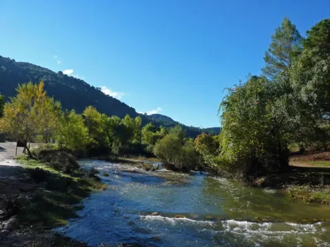
Guazalamanco is a mountain channel of permanent and turbulent waters, loaded with oxygen and gelid glass. Each of its corners invites us to recreate our senses, to remain still, in silence, as if we wanted to merge with nature and return to our origins. If you forget the camera in the car, when you discover the stream you will return to your steps to restart the road, now with the machine ready.