Saltar al contenido principal

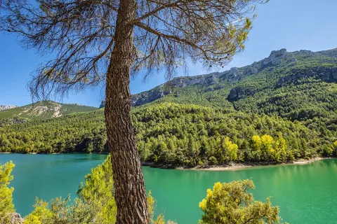
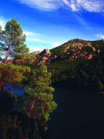
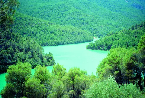
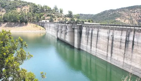
Dañador Reservoir

Submitted by brandcode_deweloper on
Id
4748450
Descripción
Descripción larga

It is accessed by the road that crosses the region of El Condado (A-312), there are two options: from Castellar to A-6203 after passing the cores of Aldeahermosa, Montizon and Sale of the Saints; or through the JA-9101 by Chiclana de Segura, which links with the A-6203 for Sale of the Saints.

From this last core the A-6203 is followed for 4 km. To the point of kilometer 43, where a narrow road that, after 4.5 km, leads us to the reservoir leaves to the left. From the neighbouring province of Ciudad Real it would be necessary to take the CM-3129 from Villamanrique, which at the provincial limit becomes the already mentioned A-6203.

The Environment

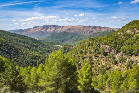
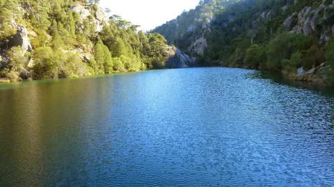
The Dañador reservoir, owned by the State and managed by the Ministry of the Environment, belongs to the Guadalquivir Hydrographic Confederation, and is located in the eastern end of Sierra Morena. Here the relief is low, with soft moist formations, not reaching any point in the geographical area around the 1,000 m altitude. This whole area of the Northeast of the municipality of Montizón is based on very old materials, specifically slate and quartdate of the Paleozoico de la Meseta, as this is a contact area with it.

The average rainfall exceeds 600 litres per square metre per year.
The reservoir is mainly nourished by the waters of the Dañador River, of little length (53 km.), which is born in the Province of Ciudad Real and is already in the Province of Jaén in the Guadalén River, tributary in turn to the Guadalimar and the latter of the Guadalquivir.

Since 1997, this area has been under environmental protection by the European Union called the LIC (Community Interest Place) for the characteristics of its ecosystem and the biodiversity of wild fauna and flora. Specifically this protection figure extends over an area of more than 1,700 km. squares in the north of the Province of Jaén by the basins of the Guadalén, Guadalmena and Rumblar rivers.

From a natural point of view, the importance of these spaces lies in the presence of plant formations typical of the Mediterranean mountain, some of them in good conservation, as well as the existence of phunistic species of particular interest for their scarcity. Among the first are the traditional oak oak, which is accompanied by other specimens of the genus Quercus, such as the alcornoque, the complaint and point cuts of melojo oak, species that give shelter to a sotoforest of noble Mediterranean dungeon (madroño, brezo, lentisco, cornicabra, agracejo, labiérnago, coscoja, etc.).

Also of great importance in the area are the masses of Pinus pinea and Pinus pineer from repopulation, as well as the forest formations in the gallery in the watercourses.

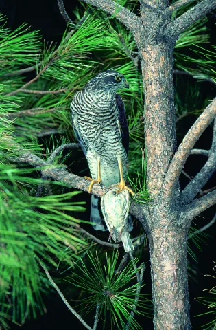
With regard to fauna, it is worth noting the existence of several cynetic species (deer, boar, gus, rabbits, etc.), as well as the isolated presence of some protected mammals such as the wolf, lince or meloncillo; of birds related to the aquatic environment, and of birds of special interest such as imperial eagle, royal eagle, leonate vulture or royal owl.

Breve descripción

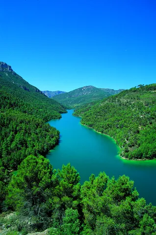
The Dañador reservoir is located in the NE of the Province of Jaén, included in all its extension in the municipal term of Montizón.
Ubicación
Latitud
38.342195
Longitud
-3.103604
Distrito
Municipio
Ubicación en el mapa
POINT (-3.103604 38.342195)
Imágenes carrusel
imagen
Image
Embalse%20del%20Da%C3%B1ador.jpg
Imagen principal
Desactivado
Imágenes cabecera
imagen
Image
19.JPG
Imagen principal
Activado
Loading map
Preparing points of interest and routes...

Anchuricas Reservoir

Submitted by brandcode_deweloper on
Id
873053
Descripción
Descripción larga

Under these waters is the old Casicas house; the dam that created this reservoir to store water for the Miller hydropower plant was completed in 1957, and once the water of the Segura River began to pour into the house it became the home only of the trout and barbs that were born in the new reservoir.

Testimony of the continuity of the house is its church, a simple rectangular structure very damaged by the passage of time but still serenely rises from the reservoir on a mound, surrounded by oaks, pans and pans.

Leonate vultures are a common view of the reservoir; the surrounding mountains offer an ideal shelter for these rapacious birds and also provide spectacular viewpoints from which to enjoy their views. The views from Puntal de la Misa, Umbria de los Eguijones and the peak of the Mahalon are possibly the most impressive in this area.

We recommend...

  • In summer it is difficult to resist the temptation to leave the vehicle in one of the accesses to the reservoir and enjoy a bath in a true mountain lake. It is also an excellent place to practice piragüism.
  • A circular route part of the church of Las Casicas and surrounds the entire reservoir, crossing several villages with beautiful views of Anchuricas. The route is marked PR-A 128.

UBICATION

The reservoir of Anchuricas can be reached from Segura de la Sierra or Santiago de la Espada. From Segura de la Sierra, follow the provincial road JF-7038 to Rio Madera and continue towards La Toba. After passing the detour that leads to the village of La Toba, you will see the reservoir on the right. The same path leads to Miller's Boards and ascends to Santiago de la Sword.

Breve descripción

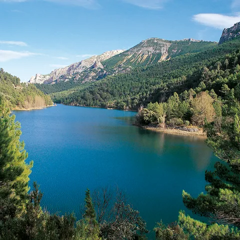
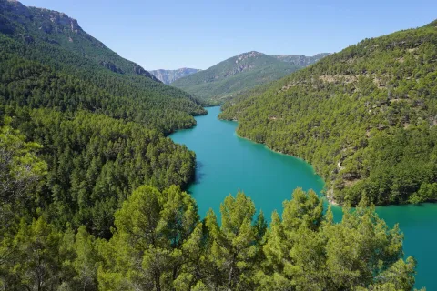
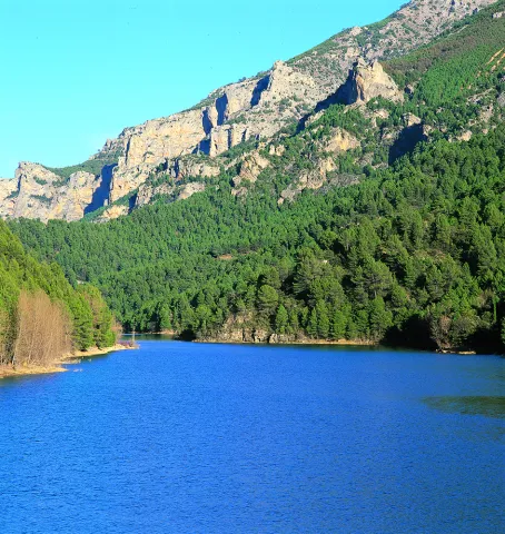
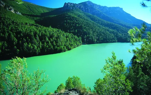
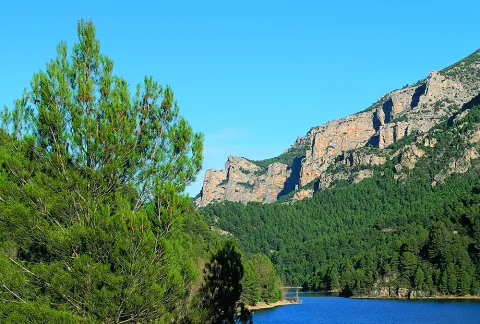
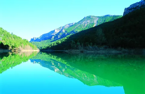
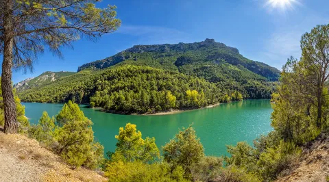
This small reservoir, attached between dense pine trees and high mountains, is a pleasant surprise for visitors because the water level is usually high and actually looks like a narrow lake. The water enters from the Segura River, once it leaves La Toba, and continues from 4 to 5 kilometres to the dam. Depending on the amount of sunlight present, the water in the tank can acquire a variety of different aspects, from an intense blue to an emerald green, which only adds to the mysteries that are already hidden under its surface.

Ubicación
Latitud
37.772886
Longitud
-3.788329
Ubicación en el mapa
POINT (-3.788329 37.772886)
Imágenes carrusel
imagen
Image
Cazorla%20anchuricas%202.jpg
Imagen principal
Desactivado
imagen
Image
Cazorla%20parque%20natural.jpg
Imagen principal
Desactivado
imagen
Image
anchuricas.png
Imagen principal
Desactivado
imagen
Image
26221616Master.jpg
Imagen principal
Desactivado
imagen
Image
Natu079.jpg
Imagen principal
Desactivado
imagen
Image
Natu080.jpg
Imagen principal
Desactivado
imagen
Image
Natu092.jpg
Imagen principal
Desactivado
imagen
Image
Natu057.jpg
Imagen principal
Desactivado
imagen
Image
Natu112.jpg
Imagen principal
Desactivado
imagen
Image
Natu380.jpg
Imagen principal
Desactivado
imagen
Image
Natu127.jpg
Imagen principal
Desactivado
imagen
Image
Natu230.jpg
Imagen principal
Desactivado
imagen
Image
Natu252.jpg
Imagen principal
Desactivado
imagen
Image
Natu253.jpg
Imagen principal
Desactivado
imagen
Image
Natu269.jpg
Imagen principal
Desactivado
Imágenes cabecera
imagen
Image
Cazorla%20anchuricas%201.jpg
Imagen principal
Activado
Loading map
Preparing points of interest and routes...

Aguas Negras Reservoir

Submitted by brandcode_deweloper on
Id
872954
Descripción
Descripción larga

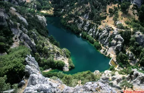
In a spectacular high mountain area, right on the edge of our region with that of Cazorla, the Borosa River has a hydroelectric use composed of the tiny reservoir of Black Waters, of 0.07 hm ³, and the Electric Central of Los Organos, with a production capacity of 1.9 MW / hour. The maximum water level is 1250 m high.

Breve descripción

Black Water Embalse

Ubicación
Latitud
37.912893
Longitud
-3.003887
Municipio
Ubicación en el mapa
POINT (-3.003887 37.912893)
Imágenes carrusel
imagen
Image
3%20%281%29.jpg
Imagen principal
Desactivado
imagen
Image
1.jpg
Imagen principal
Desactivado
imagen
Image
2%20%281%29.jpg
Imagen principal
Desactivado
Imágenes cabecera
imagen
Image
Natu068.jpg
Imagen principal
Activado
Loading map
Preparing points of interest and routes...

El Nacimiento

Submitted by brandcode_deweloper on
Id
4573220
Descripción
Descripción larga

The landscape is determined by human perception and is the result of the interaction of the elements of nature and man, then human action has conditioned the transformation of the natural landscape and the inclusion of cultural elements that give it value, so it is necessary to preserve and enhance them. We are therefore facing a natural resource that has allowed not only subsistence but also economic activity since man arrived on these lands.

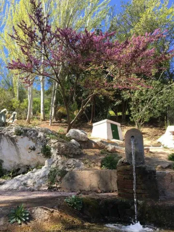
It is now difficult to imagine what this spring and its immediate course would be like without that interaction by which human beings have created a laundry room, which is what we now see in the Birth, or downstream in the Matias and the Birth mills, in the Balsa, the Charcón, the Pileta and Arroyo launchers, or the numerous pools and the network of waterfalls for the irrigation of the place known as the "Site." At some point these infrastructures must have been created and we are likely to have to reassemble long before the repopulation of the Cabrilla Site. Today we will deal only with the environment closest to the Birth, so the relative to what we find downstream of this stream that so much life has spread since time immemorial will be part of the future of a new post.

To try to imagine what those places were like not long ago, when they still fulfilled the task for which they were created, we counted, of course, on the impagable photographic work of Arturo Cerda and Rico, so that we can see in some of their photos also a certain evolution, is the case of the same spring in its natural state prior to its channelling, for not so long ago, until 1910, where today we see the seven years, there was only a plateau from which the crystal waters of the Sierra Cruzada were kept.

Breve descripción

There would be no Cabra of the Holy Christ without this spring. With this very categorical statement I intend to highlight its enormous value, because those waters that have been irrigating our fields for centuries have brought the necessary energy to our mills, have gathered along their journey to long lavenders, have taken their waters to the abrevaderos, fountains and streets of the urban centre and not only to give to drink, but also to the domestic tasks, the works, or the irrigation of the gardens so characteristic of the interior of our homes.

Ubicación
Latitud
37.705870
Longitud
-3.286837
Dirección
Cabra del Santo Cristo
Distrito
Ubicación en el mapa
POINT (-3.286837 37.70587)
Imágenes carrusel
imagen
Image
nacimiento%20%281%29.jpg
Imagen principal
Desactivado
Imágenes cabecera
imagen
Image
18.jpg
Imagen principal
Activado
Microsite al que pertenece
Loading map
Preparing points of interest and routes...

Peñolite Stream Basin

Submitted by brandcode_deweloper on
Id
4707471
Descripción
Breve descripción

The Peñolite stream has a basin limited by peaks from which the beautiful panoramic surroundings of the Cazorla Natural Park, Segura and Las Villas and the nearby Calar Alto Park in Albacete stand out, as well as magnificent sunsets to the west, with the Jiennese countryside in the background. In its center is the village of Peñolite. La Corda de Lucas is located to the east of the village of Peñolite and separates the municipalities of Puente de Génave and La Puerta de Segura. It is accessed by the forest track that links Peñolite with Cañada Catena. At its highest peak this rope reaches 1,143 m. This water division continues to be limited to the municipalities of Beas de Segura and Arroyo del Ojanco. Among its summits are the Cerro de Las Banderillas, of 1,160 m, the peak Catena, with 1,233 m and the Cerro Estero, of 1,103 m, the Cerro de La Lagunilla and the Cerro del Espartal, of 1,050 m.

Ubicación
Código Postal
23350
Latitud
38.355595
Longitud
-2.802850
Distrito
Municipio
Ubicación en el mapa
POINT (-2.80285 38.355595)
Imágenes carrusel
imagen
Image
poV6a-xw%20%281%29.jpeg
Imagen principal
Desactivado
Imágenes cabecera
imagen
Image
que-ver-y-hacer-en-puente-de-genave-jaen-2339-2.jpeg
Imagen principal
Activado
Loading map
Preparing points of interest and routes...

Waterfall El Saltador

Submitted by brandcode_deweloper on
Id
5929475
Descripción
Descripción larga

Information and Observations

  • We will have to leave the vehicle at the entrance of the lane because there is a barrier to avoid the passage of vehicles.
  • The property through which the lane passes is private so it is not allowed to enter the lane with vehicle.
Breve descripción

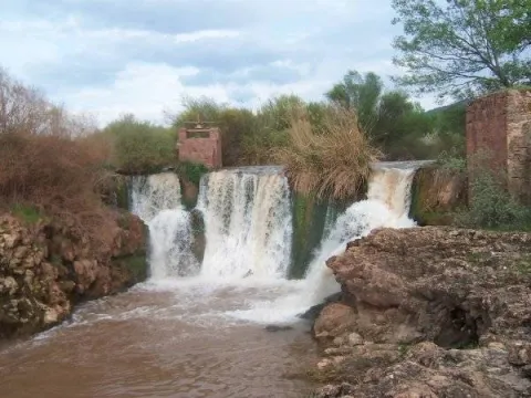
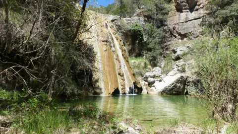
The Saltador is a natural waterfall in the Arroyo del Tejuelo; this stream receives the waters of the Arroyo de Andrés and the Sierra del Agua, then joins the Arroyo de la Fuente del Tejo and forms the flow of the Tu River.

Ubicación
Latitud
38.388680
Longitud
-2.581360
Distrito
Municipio
Ubicación en el mapa
POINT (-2.58136 38.38868)
Imágenes carrusel
imagen
Image
Natu150.jpg
Imagen principal
Desactivado
Imágenes cabecera
imagen
Image
5.jpg
Imagen principal
Activado
Loading map
Preparing points of interest and routes...

Caldera del Tío Lobo and the Zurreón

Submitted by brandcode_deweloper on
Id
1869203
Descripción
Descripción larga

Location: Head of the Albanchez River.

Distance: 5 km.

Medium: On foot.

Access route: By mountain sidewalk.

Breve descripción

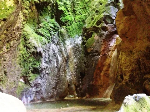
It is a set of river pods and a waterfall inside a cave, all in a very mountainous environment.

Ubicación
Latitud
37.766970
Longitud
-3.461280
Distrito
Ubicación en el mapa
POINT (-3.46128 37.76697)
Imágenes carrusel
imagen
Image
14830186Master.jpg
Imagen principal
Desactivado
Imágenes cabecera
imagen
Image
2394775Master.jpg
Imagen principal
Activado
Microsite al que pertenece
Loading map
Preparing points of interest and routes...