Saltar al contenido principal
icon-intereses-cultura-del-toro

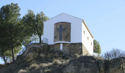
La Peñuela

Submitted by brandcode_deweloper on
Id
4555271
Descripción
Descripción larga

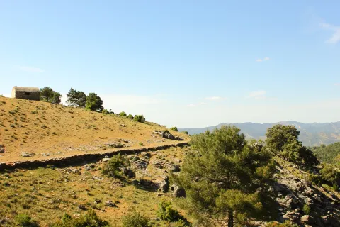
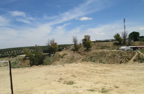
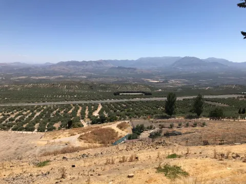
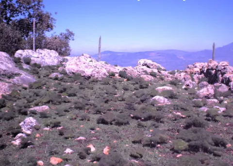
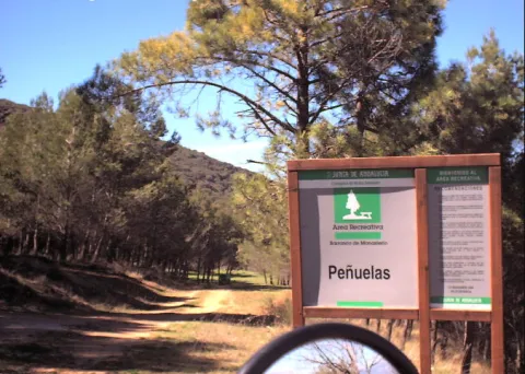
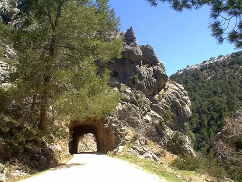
It is a cozy road and recreational area, which has a lookout from where to enjoy stunning views. It also has shadow areas and a water source.

Location: Very close to the urban core.

Distance: 2.5 km.

Medium: Tourism vehicle.

Access route: Through a dirt lane that leaves directly from the city centre.

Ubicación
Código Postal
23130
Latitud
37.597850
Longitud
-3.622070
Distrito
Municipio
Ubicación en el mapa
POINT (-3.62207 37.59785)
Tipos de punto de interés
Imágenes carrusel
imagen
Image
pe%C3%B1uela1.png
Imagen principal
Desactivado
Imágenes cabecera
imagen
Image
pe%C3%B1uela.png
Imagen principal
Activado
Microsite al que pertenece
Loading map
Preparing points of interest and routes...
La Lambra

Submitted by brandcode_deweloper on
Id
4554840
Descripción
Descripción larga

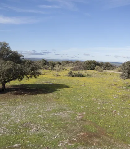
From this place you can see thePantano de Giribola,Caves and Castle of Giribolaand the municipality of Vilches. Nearby we can find some cortijos such as:The Lambra,Mirabuens,The CologneandLa Casería.

The ground is limestone and reddish. The vegetation that covers it is typically Mediterranean with species such as the oak, the lentisco, the retama, the olive thyme, the spatter, the steppe jara, the brown and the cuckoo.

Until a few years ago, on spring and summer Sundays it was a very busy place. The Sunday of Resurrection was difficult to find a shadow of free oak or chaparro, because almost all the people of Canena, Rus and other villages camped that day to enjoy a day of field.

Breve descripción

It is a Natural Area located in the municipal term of Rus, it is an ideal place to enjoy a day of countryside. Located on the flat, most of this land is private property, although free to anyone so that you can spend a nice day.

Telecomunicaciones
Teléfono de contacto
953 127 115
Ubicación
Código Postal
23430
Latitud
38.076950
Longitud
-3.488750
Dirección
Carretera Canena-Arquillos, km. 3
Municipio
Ubicación en el mapa
POINT (-3.48875 38.07695)
Tipos de punto de interés
Imágenes carrusel
imagen
Image
paraje-la-lambra.jpg
Imagen principal
Desactivado
Imágenes cabecera
imagen
Image
galeria_inicio_05.jpg
Imagen principal
Activado
Microsite al que pertenece
Loading map
Preparing points of interest and routes...
La Laguna

Submitted by brandcode_deweloper on
Id
5928867
Descripción
Breve descripción

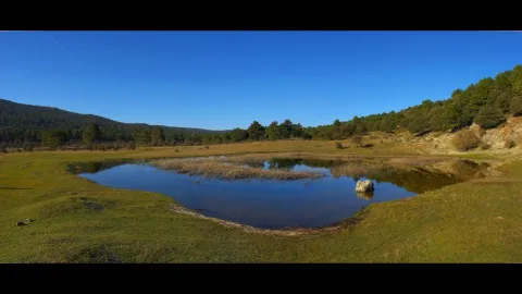
The Laguna de Siles is approximately 150 m in diameter and 3 m in maximum depth depending on the station. To access La Laguna, from the municipality of Siles, an indicative lane is taken in the direction of El Puntal. At one of the crosses to the left, a lane goes straight to the place, and is very well identified with signs.

Ubicación
Latitud
38.377901
Longitud
-2.537913
Distrito
Municipio
Ubicación en el mapa
POINT (-2.537913 38.377901)
Imágenes carrusel
imagen
Image
4.jpg
Imagen principal
Desactivado
Imágenes cabecera
imagen
Image
pantanosiles.png
Imagen principal
Activado
Loading map
Preparing points of interest and routes...

La Hueta

Submitted by brandcode_deweloper on
Id
659691
Descripción
Descripción larga

In the vicinity of the Hueta there are waterfalls and a lagoon that we suggest you discover. Very close to the Hueta there are other villages such as Puente Honda and you can even approach the ruins of the castle of the same name.

Breve descripción

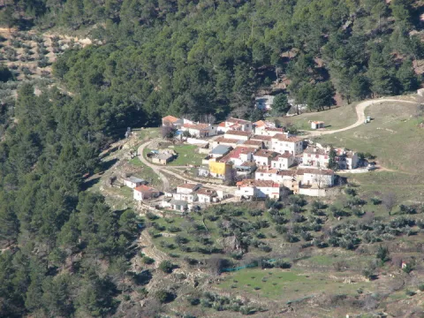
After going down a very sinuous road we reach a small valley in which La Hueta is located, which is divided into two neighborhoods. In the centre of the village you will find a laundry and a small garden with the image of the virgin of Fatima. From the set stands out the landscape that surrounds the village, highlighting at the bottom the hill of Bucentaina with the spectacular Piedra del Agujero, in a sea of pine trees sauté with complaints and oaks, which contrasts with the areas adapted to the cultivation next to the village.

Ubicación
Latitud
38.318022
Longitud
-2.661052
Distrito
Municipio
Ubicación en el mapa
POINT (-2.661052 38.318022)
Tipos de punto de interés
Imágenes carrusel
imagen
Image
599_img.png
Imagen principal
Desactivado
imagen
Image
599_image_1.jpg
Imagen principal
Desactivado
Imágenes cabecera
imagen
Image
aldeahueta.png
Imagen principal
Activado
Loading map
Preparing points of interest and routes...
Marcas de calidad

La Hermitage of Santa María Magdalena

Submitted by brandcode_deweloper on
Id
4619189
Descripción
Descripción larga

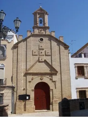
It features a simple half-point arch cover with two small side voids imitating saetas. On the top we find a hornadine with the image of Mary Magdalena and on a side a small body of swordsman.

Breve descripción

On July 14, 1990, the new hermitage of Santa María Magdalena was opened and blessed; it is located on the hill of Maquiz, where the old one was and which is quoted in the 16th century.

Telecomunicaciones
Sitio web
https://mengibarturismo.com/
Teléfono de contacto
677 222 285
Correo electrónico
turismo@aytomengibar.com
Ubicación
Código Postal
23620
Latitud
37.968050
Longitud
-3.808780
Dirección
Carretera A-6000 a Villargordo, desvío por el camino de Los Chorrillos
Distrito
Municipio
Ubicación en el mapa
POINT (-3.80878 37.96805)
Tipos de punto de interés
Imágenes carrusel
imagen
Image
La%20Ermita%20de%20Santa%20Mar%C3%ADa%20Magdalena.jpg
Imagen principal
Desactivado
Imágenes cabecera
imagen
Image
ermita-de-la-malena-mengibar.jpg
Imagen principal
Activado
Microsite al que pertenece
Loading map
Preparing points of interest and routes...
La Hermitage of Jesús

Submitted by brandcode_deweloper on
Id
4969981
Descripción
Breve descripción

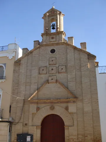
Built in the17th century, retains the cover of its only floor with canyon vault with lunetes. The 18th century facade stands out for its monocrous simplicity of the brick, the ascending verticality of lines and the articulation of spaces. From its interior to highlight theJesus' shrimpwith paintings of this century in the vault.

Telecomunicaciones
Sitio web
www.arjonilla.es/el-municipio/patrimonio-historico.html
Correo electrónico
alcaldia@ayuntamientodearjonilla.es
Ubicación
Código Postal
23750
Latitud
37.974440
Longitud
-4.107590
Dirección
Plaza de la Encarnación, s/n
Distrito
Municipio
Ubicación en el mapa
POINT (-4.10759 37.97444)
Tipos de punto de interés
Imágenes carrusel
imagen
Image
Ermita%20de%20Jes%C3%BAs%20en%20arjonilla.jpg
Imagen principal
Desactivado
Imágenes cabecera
imagen
Image
ermita%20%281%29.jpg
Imagen principal
Activado
Microsite al que pertenece
Loading map
Preparing points of interest and routes...
The Pond

Submitted by brandcode_deweloper on
Id
4658699
Descripción
Descripción larga

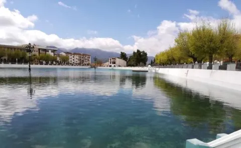
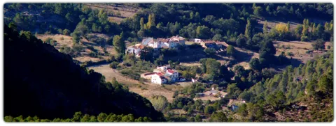
This spring has never been enough to fertilize all the lands that extend on a decreasing level towards the Guadalbullion River. On the other hand, the years of drought have always been very numerous, in which the volume of this source was significantly reduced, because the piezometric surface of the aquifer located to the north of the population, which gives rise to the Charca spring, is linked to driving through galleries with siphoning phenomena.

Breve descripción

La Charca is a reservoir that collects the waters of the birth of the Fuente de la Reja from medieval times. In the beginning it was a simple dam with a containment stone wall and gates that regulated the water output through an intricate network of miles of waterfalls. These irrigated the orchard and olive lands located to the south of the urban core, distributed in banks. The higher caces served as a southern limit to the population, thus delimiting the urban growth of Pegalajar.

Ubicación
Código Postal
23110
Latitud
37.739660
Longitud
-3.644450
Distrito
Municipio
Ubicación en el mapa
POINT (-3.64445 37.73966)
Imágenes carrusel
imagen
Image
lacharca.jpg
Imagen principal
Desactivado
Imágenes cabecera
imagen
Image
charca-kM3F-U501644234364StF-624x385%40Ideal.jpg
Imagen principal
Activado
Microsite al que pertenece
Loading map
Preparing points of interest and routes...
The Chaplaincy

Submitted by brandcode_deweloper on
Id
659644
Descripción
Descripción larga

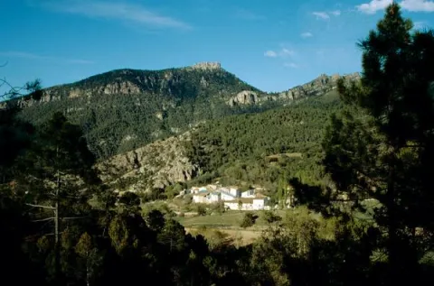
A small hermitage, which at the time made the school, brings to our head memories of past times. Its position allows it to have a privileged view over the nearby mountains, which you can know more in depth if you do the circular path of the Yelmo Chico, the PR-A 150 that part of the Capellania.

Breve descripción

Jars, rosemary and pines accompany the road leading to the Capellania. Small gardens between the pine trees and some olive trees lead to the area where the village is located. It has an immense central meadow with several roads that lead to the different houses.

Ubicación
Latitud
37.913575
Longitud
-3.011814
Municipio
Ubicación en el mapa
POINT (-3.011814 37.913575)
Tipos de punto de interés
Imágenes carrusel
imagen
Image
6%20%281%29.jpg
Imagen principal
Desactivado
imagen
Image
b4b8d505ab9cd1db1bf562f9e4900a0b40f1d770.jpeg
Imagen principal
Desactivado
Imágenes cabecera
imagen
Image
Cazorla_%2814277828194%29.jpg
Imagen principal
Activado
Loading map
Preparing points of interest and routes...
Marcas de calidad

La Ballestera y Montalvo

Submitted by brandcode_deweloper on
Id
659617
Descripción
Descripción larga

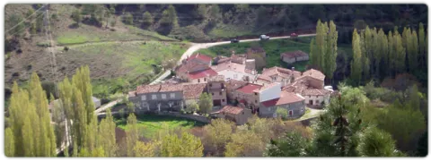
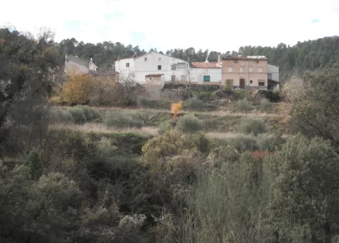
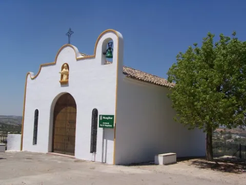
The crossbow is made up of two cores of houses separated by an old laundry room that awaits the arrival of people in laundry clothes. During the winter it has only four neighbors. It surprises the cleaning of the village and the freshness of the water that runs next to it. If you close your eyes you can discover that the silence is broken only by the rooster singing, the cat's maullido or the water running.

Next to the Ballestera we find Montalvo with a completely different landscape. It dominates an elevation that is accessed by a road that zigzaguea to the village and offers us impressive views over the valley. You can see narrow streets, narrow walls, houses recovered from ruin, all surrounded by privileged views of the valley.

Breve descripción

A very narrow road surrounded by trees leads us to the Ballestera. You will pass through a bread oven and an old haystack, witnesses from another time, from the self-sufficient past of this village. The gardens are intermingled with the pines and some olive trees, the result of the need to get oil before.

Ubicación
Latitud
38.148202
Longitud
-2.693707
Ubicación en el mapa
POINT (-2.693707 38.148202)
Tipos de punto de interés
Imágenes carrusel
imagen
Image
596_img.png
Imagen principal
Desactivado
imagen
Image
IMG_7633.JPG
Imagen principal
Desactivado
Imágenes cabecera
imagen
Image
ballesteraMontalvo%20%281%29.jpg
Imagen principal
Activado
Loading map
Preparing points of interest and routes...
Marcas de calidad

The Stone Wall

Submitted by brandcode_deweloper on
Id
4971000
Descripción
Breve descripción

This is an old mud quarry next to the city centre. It has an artificial water lagoon very interesting for its ecological function.

Ubicación
Código Postal
23750
Latitud
37.973500
Longitud
-4.106650
Distrito
Municipio
Ubicación en el mapa
POINT (-4.10665 37.9735)
Tipos de punto de interés
Imágenes carrusel
imagen
Image
albarrada.png
Imagen principal
Desactivado
Imágenes cabecera
imagen
Image
Olivar.jpg
Imagen principal
Activado
Microsite al que pertenece
Loading map
Preparing points of interest and routes...