
Greenwaand (Vía Verde) de Vadollano
This Green Way has 2 protected natural spaces located within a radius of less than 5 km: ZIC of the Guadalimar River (Red Natura 2000) and the El Pibat Natural Monument. In addition, it is possible to learn more about these natural spaces protected by the Laguna Grande Information Point.
ZIC of the Guadalimar River:In this natural space, red clays and sands are common. This area is part of the medium mountain serranies of the Sierras de Cazorla and Segura, predominating the landscape of mountain-standing countryside (Cuenca del Guadalimar). The final section is characterized by the landscape of the Vega del Guadalquivir. The river is important for species such as calandino, the Boga del Tajo and the Boga del Guadiana.
The Pat Natural Monument:This Natural Monument, located in the area of contact between the countryside and the foothills of Sierra Morena, houses a stretch of the river Guarrizas of extraordinary landscape and natural value. In the higher areas the landscape is rough and the river is attached to the huge granite blocks. The channel has to save a number of levels by producing two small waterfalls. Below, the arms of the river are reunited in a deep remnant. The riverside vegetation is in good condition of conservation, highlight species like the strawberry, with examples of a remarkable size. Among the fauna are the birds, among which is the black millano.
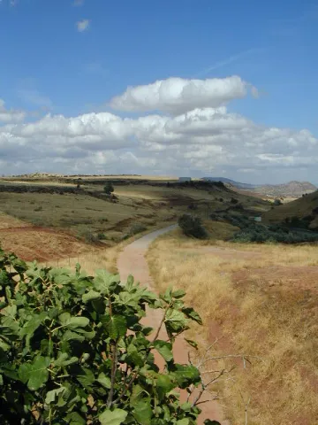
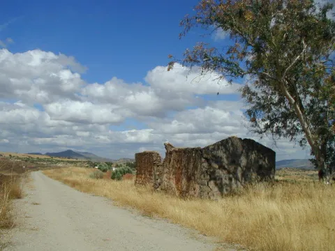
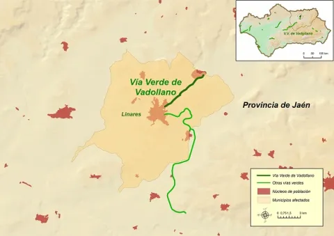
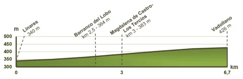
The Vadollano Green Way runs through the old route of the Linares- Vadollano railway road, from the old Santana factory to the access doors of the Army Station Headquarters in Vadollano, from which rail and naughty remains can be observed, which over the years have been covered with vegetation and are virtually unpassable.
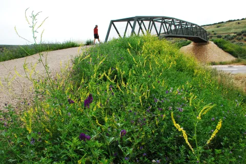
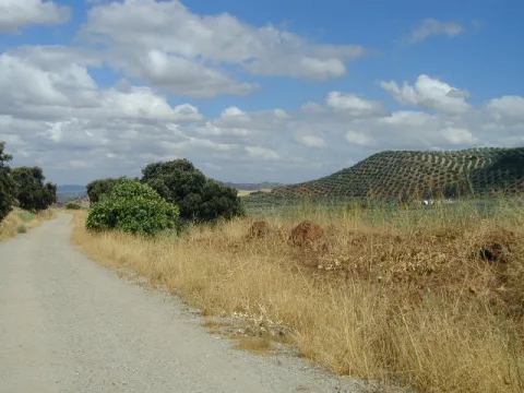
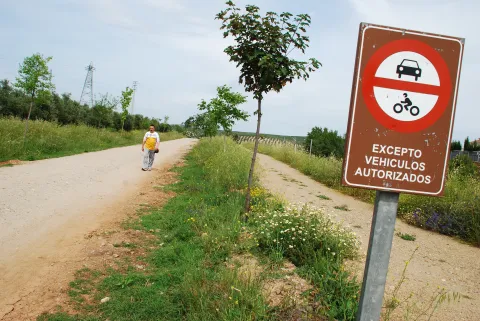
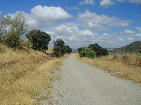

1 rest area
Regardless of the way you decide to travel this route, it is recommended to use comfortable clothes and footwear and adapted to the time of the year. Although it is not convenient to do so in the middle of summer due to the heat. You must not forget to wear enough water and, if you go on a bike, it is always recommended to wear a helmet.
For more information visit:http: / / www.viasverdes.com
Monumental set of Linares, mining and industrial heritage, ruins of the Ibero-Roman city of Catulo and centres of interpretation of the Landscape Minero and Metallurgy.
By car we recommend you access the Via Verde for the following access:
- Access No 1: Linares, in the vicinity of the Factory of Santa Ana. GPS coordinates (decimal format): 38.105551 °, -3.620675 °.
- Access No 2: Vadollano area, access from road A-312. GPS coordinates (decimal format): 38.139634 °, -3.570731 °.
By train:
- Liners: Medium Distance, Madrid-Jaén Line and Long Distance of Renfe
Connections:
- Jaén: 30 km to Linares.
