
Greenwaand (Vía Verde) de Linares
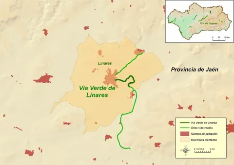
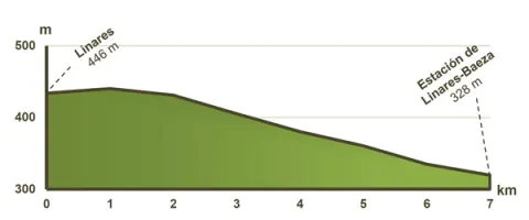
The Via Verde de Linares runs along 6 Km., from the old station of Linares- San José, better known in the municipality as the"Almería Station"untilLinares- Baeza station, corresponding to the old railway route between Linares and Almería.
The need and interest of this late railway were justified with the aim of bringing the new means of transport to the unprotected Eastern Andalusia, which until then, 50 years after the first Spanish railway, had been left out of the state's railway plans.
The objective of the new railway company created around the railway from Linares to Almería, the Southern Spain Iron Walk Company, was to make the transport of lead more attractive to the Almerian port due to the lower mileage between the mining city and the port of Almería. The kilometres of road linking the Linares- Baeza Station with that of Linares- San José, were not completed until 1904. The mining crisis in this region caused this section to lose traffic, leaving trains through its tracks in 1961.
The sinuous descent of Linares al Guadalimar
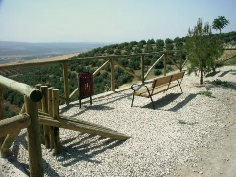
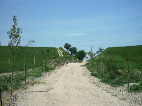
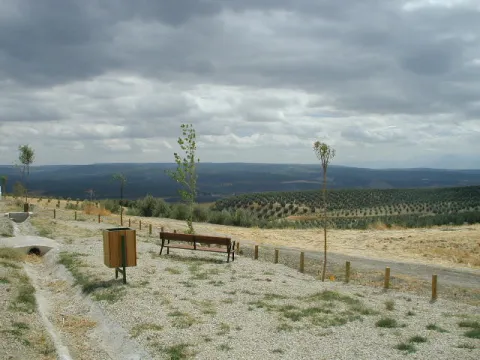
4 rest areas, equipped with tables, banks, parking bikes, stationery and fountains.
This Via Verde has a protected natural space located within a radius of less than 5 Km.: The ZIC of the Guadalimar River (Red Natura 2000).
Mirador del Valle, from where you can have a wide and beautiful view of the Guadalimar valley and various nearby villages.
By car: We recommend that you access the Green Way for the following access:
Access No 1:From Linares (Barriada San Gonzalo), on Ubeda Street.
GPS coordinates (decimal format): 38.095651 °, -3.622015 °.
Access No 2:In Linares, cross from the Via Verde with Mar Menor Street.
GPS coordinates (decimal format): 38.096232 °, -3.618323 °.
Access No 3:From the Articular Road (N-322, Linares-Baeza Station).
GPS coordinates (decimal format): 38.084612 °, -3.591498 °
By train:
Liners: Medium Distance, Madrid-Jaén Line and Long Distance from RENFE
Connections:
Jaén: 30 Km.
