Saltar al contenido principal
icon-intereses-viajar-solo

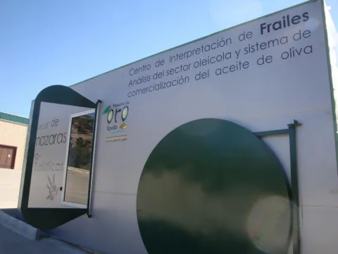
Interpretation Centre of Frailes. Almazaras oleoturísticas

Submitted by brandcode_deweloper on
Id
2344078
Descripción
Descripción larga

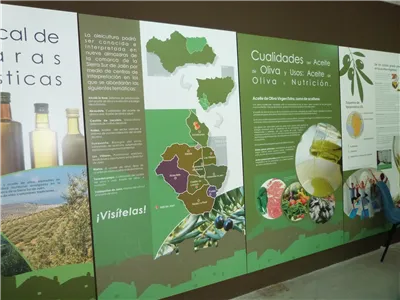
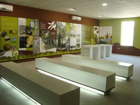
Each centre has a different theme on various aspects related to oleticulture, such as oil production systems and evolution throughout history, olive oil qualities and uses, olive oil cultivation systems, olive oil analysis and marketing system, olive biology, olive varieties, olive by-products, olive and its uses, olive heritage, olive oil traditions, types and qualities and olive oil history. The Los Villares is dedicated to olive heritage, traditions and tourism in the Sierra Sur de Jaén.

Breve descripción

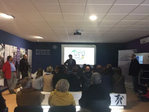
The Comarcal Network of Almazaras Óleo-turística de Sierra Sur is formed by nine Interpretation Centres located in oil factories in this Jiennese region.

Telecomunicaciones
Sitio web
www.oleotourjaen.es
Teléfono de contacto
953 593 202 / 629 257 284
Correo electrónico
scasanrafael@yahoo.es
Ubicación
Código Postal
23690
Latitud
37.479119
Longitud
-3.836627
Dirección
Cerrillo, s/n
Distrito
Municipio
Ubicación en el mapa
POINT (-3.836627 37.479119)
Tipos de punto de interés
Imágenes carrusel
imagen
Image
unnamed.jpg
Imagen principal
Desactivado
Imágenes cabecera
imagen
Image
CI_Frailes.jpg
Imagen principal
Activado
Horario
Concert visit.
Loading map
Preparing points of interest and routes...
Interpretation Centre of Castle of Locubín. Almazaras oleoturísticas

Submitted by brandcode_deweloper on
Id
2344138
Descripción
Descripción larga

Each centre has a different theme on various aspects related to oleticulture, such as oil production systems and evolution throughout history, olive oil qualities and uses, olive oil cultivation systems, olive oil analysis and marketing system, olive biology, olive varieties, olive by-products, olive and its uses, olive heritage, olive oil traditions, types and qualities and olive oil history. The de Castillo de Locubín is dedicated to the olive growing systems.

Breve descripción

The Comarcal Network of Almazaras Óleo-turística de Sierra Sur is formed by nine Interpretation Centres located in oil factories in this Jiennese region.

Telecomunicaciones
Sitio web
www.oleotourjaen.es
Teléfono de contacto
953 590 086
Correo electrónico
larueda@arrakis.es
Ubicación
Código Postal
23670
Latitud
37.527140
Longitud
-3.956880
Dirección
Paraje La Meloja, s/n
Distrito
Ubicación en el mapa
POINT (-3.95688 37.52714)
Tipos de punto de interés
Imágenes carrusel
imagen
Image
thb_g_2.jpg
Imagen principal
Desactivado
Imágenes cabecera
imagen
Image
CI_Castillo_de_Locubin.jpg
Imagen principal
Activado
Horario
Concert visit.
Loading map
Preparing points of interest and routes...
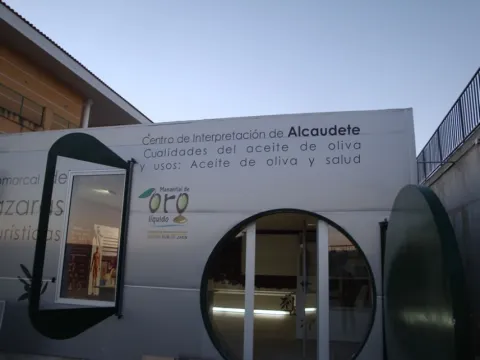
Interpretation Centre of Alcaudete. Almazaras oleoturísticas

Submitted by brandcode_deweloper on
Id
2344066
Descripción
Descripción larga

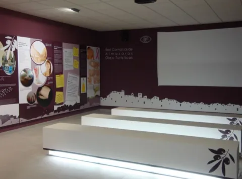
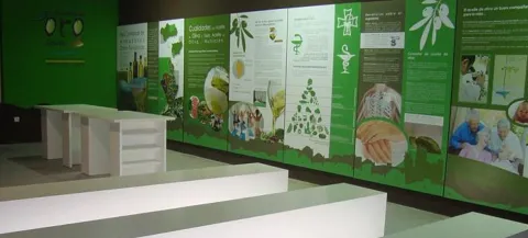
Each centre has a different theme on various aspects related to oleticulture, such as oil production systems and evolution throughout history, olive oil qualities and uses, olive oil cultivation systems, olive oil analysis and marketing system, olive biology, olive varieties, olive by-products, olive and its uses, olive heritage, olive oil traditions, types and qualities and olive oil history. The Alcaudete is dedicated to olive oil and health.

Breve descripción

The Comarcal Network of Almazaras Óleo-turística de Sierra Sur is formed by nine Interpretation Centres located in oil factories in this Jiennese region.

Telecomunicaciones
Sitio web
www.oleotourjaen.es
Teléfono de contacto
953 560 201
Correo electrónico
gerente@scaperpetuosocorro.es
Ubicación
Nombre
Virgen del Perpetuo Socorro S.C.A.
Código Postal
23660
Latitud
37.542230
Longitud
-4.012990
Dirección
Carretera N-432
Distrito
Municipio
Ubicación en el mapa
POINT (-4.01299 37.54223)
Tipos de punto de interés
Imágenes carrusel
imagen
Image
1.jpg
Imagen principal
Desactivado
imagen
Image
imagen.jpg
Imagen principal
Desactivado
Imágenes cabecera
imagen
Image
CI_Alcaudete.jpg
Imagen principal
Activado
Horario
Concert visit.
Loading map
Preparing points of interest and routes...
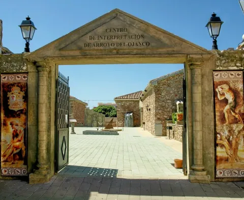
Interpretation Centre Cultura Romana

Submitted by brandcode_deweloper on
Id
889103
Descripción
Descripción larga

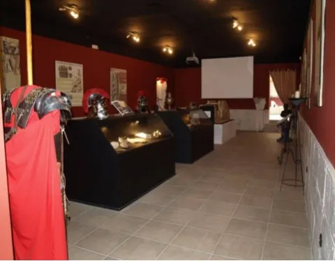
It aims to illustrate the visitor during his tour of the Roman cultural heritage and to value the archaeological site of the Roman villa of Los Baños, located in the vicinity of this town. In the outer space, which serves as a stage for representations, you can see a reproduction of an archaeological excavation, a sun watch with Roman numbering, a bajorrelief, a fountain, etc. In the interior there are reproductions of archeology pieces, panels with texts allusive to the Roman era, period costumes and a video summarizing the theme. There is also an area that imitates the asueto rooms, which could very well serve as a dining room, decorated with divans, mosaics, ropajes, vases, etc.

Breve descripción

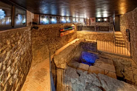
The Interpreting Centre has the function of making the Roman culture of the municipality known. It has two rooms and a central courtyard where through reproductions, panels and projections.

Telecomunicaciones
Sitio web
www.arroyodelojanco.es
Teléfono de contacto
695 992 481
Correo electrónico
culturaromana.arroyo@gmail.com
Ubicación
Código Postal
23340
Latitud
38.321930
Longitud
-2.894070
Dirección
C/ Bolea
Distrito
Municipio
Ubicación en el mapa
POINT (-2.89407 38.32193)
Tipos de punto de interés
Imágenes carrusel
imagen
Image
P9120643%20%28Copiar%29.JPG
Imagen principal
Desactivado
imagen
Image
image_106251.jpeg
Imagen principal
Desactivado
Imágenes cabecera
imagen
Image
unnamed%20%281%29.jpg
Imagen principal
Activado
Horario
Wednesday to Sunday: 11: 00 - 13: 00 and 16: 00 - 18: 00.
Loading map
Preparing points of interest and routes...
Interpretation Centre Ciudad Fortificada de Giribaile

Submitted by brandcode_deweloper on
Id
2343430
Descripción
Descripción larga

You can now visit the Interpretation Centre in Vilches and learn about the historical evolution of this important site.

In the archaeological enclave you can visit, previously by telephone, a prehistoric sanctuary, an Iberian village, a cenobium or eemite paleocristian or visigode and a Almohad castle, all surrounded by beautiful landscapes between olive and saw. Landscape, culture, heritage, history, nature, hiking... are intermingled in Giribola, where it is possible to appreciate the footprint left by different peoples and cultures over the centuries.

Thus, along with the vestiges of the castle, the traveller will also be able to see the remains that are still preserved from the great wall surrounding the Iberian oppidum, an important city that occupied a strategic place on the road of connection between Catulo and the Levant and that was abandoned after being swept away by the Romans. Similarly, the numerous caves that are distributed on the slopes of the hill, the so-called Cuevas de Espeluca, are also interesting.

Breve descripción

In this center of interpretation of Vilches you will be able to know the historical evolution of the archaeological site corresponding to one of the largest Iberian villages in the province. Giridance. This stop belongs to the Travel to the time of the Iberians.

Telecomunicaciones
Sitio web
www.viajealtiempodelosiberos.com
Teléfono de contacto
637 784 924 / 616 311 128
Ubicación
Código Postal
23220
Latitud
38.202930
Longitud
-3.508300
Dirección
Cerrillo, s/n
Distrito
Municipio
Ubicación en el mapa
POINT (-3.5083 38.20293)
Tipos de punto de interés
Imágenes carrusel
imagen
Image
204733_381646358594731_2089010607_o.jpg
Imagen principal
Desactivado
imagen
Image
mosss-720-jpg
Imagen principal
Desactivado
imagen
Image
mosss-716-jpg
Imagen principal
Desactivado
imagen
Image
mosss-706-jpg
Imagen principal
Desactivado
Imágenes cabecera
imagen
Image
CI_Ciudad_Fort_Giribaile.jpg
Imagen principal
Activado
Horario
Saturday: 10: 00 - 14: 00.
Loading map
Preparing points of interest and routes...
Segura de la Sierra Castle Interpretation Center

Submitted by brandcode_deweloper on
Id
2343598
Descripción
Descripción larga
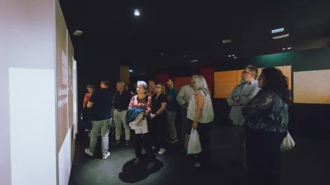
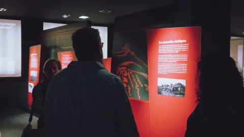
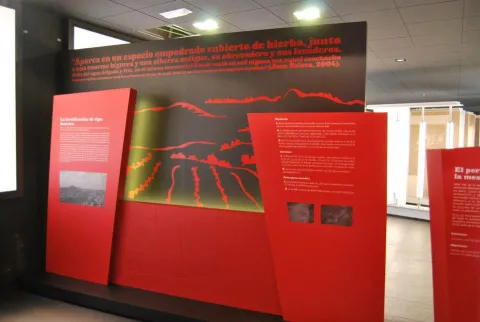
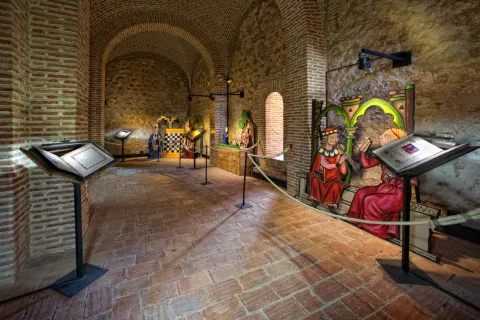
In the Islamic period the town was fortified and provided with a triple enclosure of walls. This fortification was accessed through four gates: Catena, which is the best preserved, Gontar, Mediodia or Orcera and the New Gate, which was rebuilt in the 16th century. It was declared a Picturesque Landscape and Historic-Artistic Site along with the town. Currently, it is home to an interpretation center called Segura de la Sierra. Border Territory in which you can delve into the Middle Ages, during which Segura de la Sierra was a relevant enclave. This interpretive space consists of several exhibition sets from the family environment of the warrior poet, ranging from sound elements that recreate the conversation that Jorge Manrique has with his father, Don Rodrigo, on the stage of the Coplas on the death of his father, as well as other interpretive speeches more linked to the author's poetic work. After visiting Jorge Manrique's interpretive space, it is possible to climb the battlements of the Torre del Homenaje and shudder with the spectacular views it offers: El Yelmo, with its more than 1,800 meters of altitude and symbol of the Sierra de Segura; Segura La Vieja (Iberian town), the Cerro de Góntar, the Peñalta viewpoint and so on countless landmarks that, together with a relaxed reading of Manriqueña poetry, will offer the visitor an emotion that will connect them forever with Segura de la Sierra.
Breve descripción
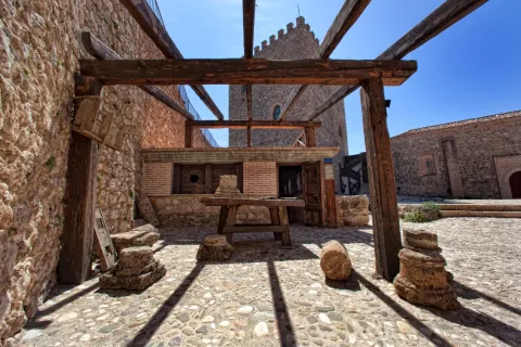
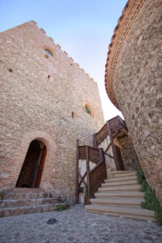
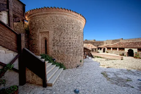
Of Muslim origin, its factory denotes an evident Christian remodeling, dating mostly to the second half of the 13th century. Inside we can find the Parade Ground, the Capilla de Santa Ana y la Torre del Homenaje with three floors. It was besieged during the French invasion and later restored.
Ubicación
Nombre
Castillo de Segura de la Sierra
Código Postal
23379
Latitud
38.299220
Longitud
-2.649790
Distrito
Ubicación en el mapa
POINT (-2.64979 38.29922)
Tipos de punto de interés
Imágenes carrusel
imagen
Image
IMG_4369.jpg
Imagen principal
Desactivado
imagen
Image
IMG_4372.jpg
Imagen principal
Desactivado
imagen
Image
IMG_4384.jpg
Imagen principal
Desactivado
imagen
Image
IMG_4387.jpg
Imagen principal
Desactivado
imagen
Image
IMG_4404.jpg
Imagen principal
Desactivado
imagen
Image
IMG_4420.jpg
Imagen principal
Desactivado
imagen
Image
IMG_4425.jpg
Imagen principal
Desactivado
Imágenes cabecera
imagen
Image
Segura%20de%20la%20Sierra18.jpg
Imagen principal
Activado
Horario
May 1 - Oct 31: Tuesday to Sunday 10:30 - 14:00 and 17:00 - 20:30. Nov 1 - Apr 30: Tuesday to Sunday 10:00 - 14:00 and 16:00 - 18:30.
Loading map
Preparing points of interest and routes...
Marcas de calidad

Interpretation Centre Castle of la Villa

Submitted by brandcode_deweloper on
Id
2343382
Descripción
Descripción larga

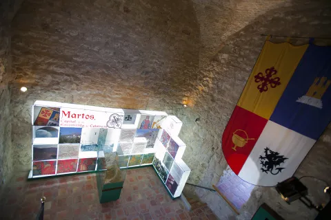
It has several rooms in which we can see the history of the town of Martos from its origins to the present, making special interest in the Calatrava era, as Martos was the capital of the commission.

On the terrace of the tower we will enjoy a view full of living history, where the peculiarity of its consolidated home with its medieval plot, its rock with the remains of the Alta Fortress and the oil culture with a consolidated landscape of centenary olive groves prevails.

Breve descripción

In the lower fortress of Martos is located the Interpretation Centre Castillo de la Villa, located in its Torre del Tribute.

Telecomunicaciones
Teléfono de contacto
953 703 050
Ubicación
Código Postal
23600
Latitud
37.723620
Longitud
-3.967240
Dirección
C/ Primero de Mayo, 34
Distrito
Municipio
Ubicación en el mapa
POINT (-3.96724 37.72362)
Tipos de punto de interés
Imágenes carrusel
imagen
Image
15%20%281%29.jpg
Imagen principal
Desactivado
imagen
Image
desarrollo-tenflowers_martos_img_6160-copia.jpg
Imagen principal
Desactivado
Imágenes cabecera
imagen
Image
desarrollo-tenflowers_martos_img_6215-copia%20%281%29.jpg
Imagen principal
Activado
Horario
Check the schedule.
Loading map
Preparing points of interest and routes...
Interpretation Centre Castle of La Iruela

Submitted by brandcode_deweloper on
Id
2343586
Descripción
Breve descripción

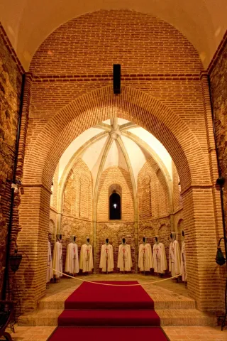
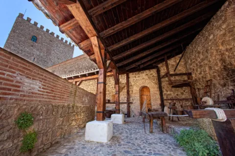
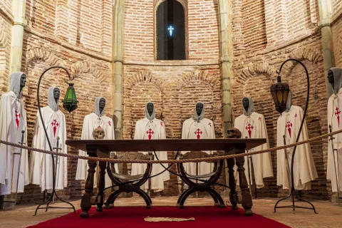
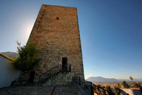
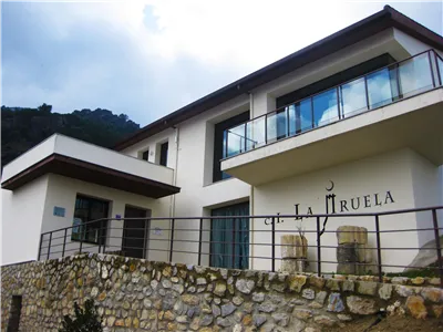
This centre is born of the need to have a space where the visitor can know and interpret the history of La Iruela, making a journey from its origins to the present and can enjoy in a didactic way and through technological means of the historical, heritage, cultural, natural and ethnic heritage of the place. It is located in the Historical Set composed of the Castle of La Iruela and the Church of Santo Domingo de Silos, monumental symbols of the town, declared an artistic Historical Set in 1985.

Telecomunicaciones
Teléfono de contacto
953 720 712 / 691 782 295
Ubicación
Código Postal
23476
Latitud
37.920900
Longitud
-2.990120
Dirección
Esperilla Alta, s/n
Municipio
Ubicación en el mapa
POINT (-2.99012 37.9209)
Tipos de punto de interés
Imágenes carrusel
imagen
Image
image_104333.jpeg
Imagen principal
Desactivado
imagen
Image
725_img.png
Imagen principal
Desactivado
Imágenes cabecera
imagen
Image
thb_g_1.jpg
Imagen principal
Activado
Horario
Wednesday to Sunday: 10: 30 - 13: 30 and 16: 00 - 18: 30 (October to April).
Loading map
Preparing points of interest and routes...
Marcas de calidad

Centro de Int. del Patrimonio Histórico y cultural del P.N. Despeñaperros

Submitted by brandcode_deweloper on
Id
5871311
Descripción
Descripción larga

Also close to the Iberian Sanctuary "Cueva de los Muñecos" to where you can access through a signposted path that begins at the doors of the Interpretation Center.
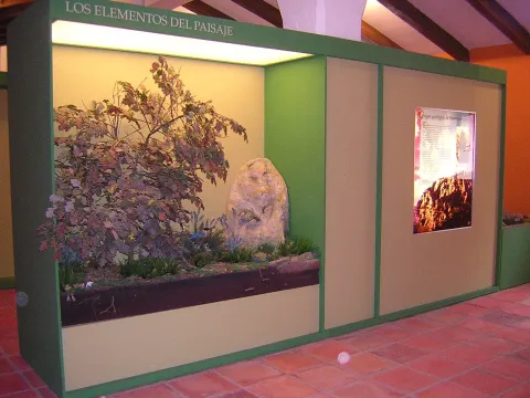
The Interpretation Centre has an exhibition area divided into 6 interpretative sets:

1. Elements of the landscape
2. Prehistory and Old Age
3. The Middle Ages. The Battle of the Navas de Tolosa
4. The Modern Age. New populations
5. The Contemporary Age
6. Audiovisual room. Dog-biting in time.

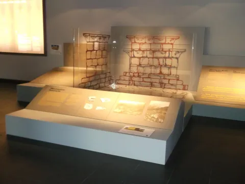
All these interpretative sets are made up of models, backlit information media, exhibition of real elements and replica in vitrines, ambiances and documentary projections.

Breve descripción

Located in a privileged place, in the "Collado de Los Jardines" before entering the Centre you can enjoy in the surroundings of an authentic forest of Quejigos of great ecological value.

Telecomunicaciones
Teléfono de contacto
953 664 307
Ubicación
Código Postal
23213
Latitud
38.410020
Longitud
-3.561010
Distrito
Municipio
Ubicación en el mapa
POINT (-3.56101 38.41002)
Tipos de punto de interés
Imágenes carrusel
imagen
Image
26010179Master.jpg
Imagen principal
Desactivado
Imágenes cabecera
imagen
Image
DSCN5729.jpg
Imagen principal
Activado
Loading map
Preparing points of interest and routes...
Fresnedilla Astronomical Outreach Center

Submitted by brandcode_deweloper on
Id
886028
Descripción
Descripción larga

Spaces and equipment

The design and forecasting of the space of the observatory is based on the different services it offers to the visitor, based on a modest and functional conception. It has three different spaces:

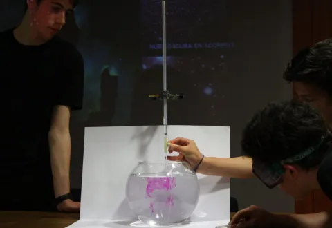
Multi-use room. Exhibition of audiovisual of own production with the aim of introducing visitors to the topics of most interest and scientific news. It offers us a space in which to conduct courses, congresses, talks and conferences, development of workshops, exhibitions, introduction to the use of planispheres, of web tools in the world of astronomy and astrophysics.

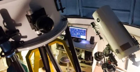
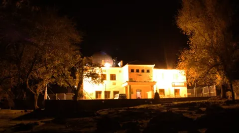
Main Observatory. It is the heart of the center, under a dome of 5 m, is the most pointed equipment in the field of astronomical observation, including the main telescope of 460 mm of fully computerized aperture and a 300 mm Dark-Kirkham of excellent optical quality dedicated exclusively to astronomical photography. The equipment is completed with high-sensitivity CCD cameras for capture of deep and planetary sky images, filters and wheel with computerized filters, self-guidance systems and an automated weather station that controls all systems autonomously...

This complete equipment allows us to introduce the visitor into the magic of observation under dome by doing live observations or through monitor by receiving on closed circuit the images of both the telescope and the video or the computer. In turn your remote control program will soon allow us to make use of the On-line installation. Its advanced equipment allows its use by research and teaching teams.

Solarium. Located in the open air on the terrace, it allows natural planetarium sessions with green laser pointer, observations with prismatic different calibre and telescopes of different design and function (some of them self-making).

The aim is to introduce the visitor to the various techniques and means of observation according to the object to be studied. For this we will use plateaus and stellar cards. We also have five secondary teams with instruments for initiation, advanced and assisted navigation.

Activities

The Fresnedilla Observatory offers the user high quality experiences, exclusive and programmed and supervised by professionals with extensive experience in teaching and dissemination.

Our entity has been planning a series of activities that have been consolidated over the years, in our annual plan of activities: annual outreach days, open-door days, training monitors and initiation courses, astrophotography courses, observation sessions, workshops, guided tours, lectures in educational centres and participation in cultural weeks in them, support for congresses, visits of professionals to our centres, exhibitions, training courses for dynamic and scientific dissemination...

The methodology that guides the staging of each proposal allows the manipulation, observation and research by the participants, making use of various teaching instruments and the latest technologies, both audiovisual and instrumentation. At the same time, classic channels are used, close to the visitor, from murals, work guides to Tales and theatrical. In short, we are committed to an active, varied, original and quality methodology.

The complete equipment, the natural environment in which it is located and the quality of the sky, makes this area a reference in our community, offering the visitor the opportunity to make observations and activities in an observatory with professional benefits, providing a new alternative offer of leisure and cultural to the visitor of the Natural Park and affecting the tourist development of the area with an attractive, quality and respectful activity.

Breve descripción

In 2009, the Astronomical Outreach Centre of Fresnedilla opened its doors. Developed in collaboration with the City Council of Villacarillo, the Tourism, Trade and Sport Council of the Junta de Andalucía and the collaboration of the Parque de las Ciencias Consortium of Granada, this centre arises from the need to develop specific activities of dissemination and astronomical research in a dark sky of excellent quality, with a stable and permanent infrastructure of easy access to the general public.

The Fresneilla Observatory is located in the heart of the most extensive Natural Park in South Europe, the P.N. de Cazorla, Segura and the Villas, a unique natural attraction, which attracts more than 200,000 visitors each year. In the surroundings of the observatory we can visit places with a special charm: Navazalto, cascade of Chorrogil, around Aguascebas, Peñacorba, which are incorporated into the activity that the observatory develops through guided didactic routes, night hiking and orientation techniques and observation sessions in emblematic areas.

Telecomunicaciones
Teléfono de contacto
659 473 549
Ubicación
Código Postal
23300
Latitud
38.061000
Longitud
-2.944330
Municipio
Ubicación en el mapa
POINT (-2.94433 38.061)
Tipos de punto de interés
Imágenes carrusel
imagen
Image
DSC6654_p-500x257.jpg
Imagen principal
Desactivado
imagen
Image
IMG_7437-1024x705.jpg
Imagen principal
Desactivado
Imágenes cabecera
imagen
Image
IMG_0916-1024x569.jpg
Imagen principal
Activado
Loading map
Preparing points of interest and routes...