Saltar al contenido principal

Valley of the Segura

Submitted by brandcode_deweloper on
Id
2980198
Descripción
Descripción larga

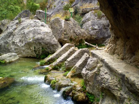
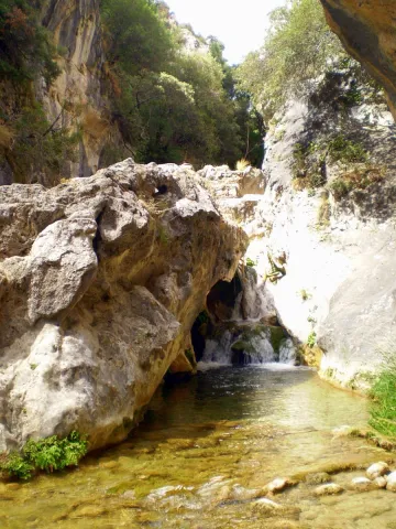
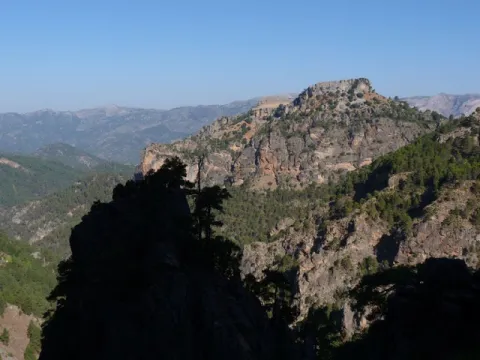
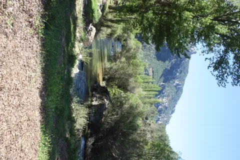
The road goes parallel to the river and, on its sides, there are impressive calares with magnificent views of the saw. As you pass the village of La Toba, the river remains in the charming reservoir of Las Anchuricas, one of the most beautiful of the Sierras de Cazorla Natural Park, Segura and Las Villas, The valley offers pleasant visits around you that will allow us to know more about the Sierra de Segura, such as the village of La Toba, a place where water is the great protagonist, or the nearby populations of La Fuente del Esparto, La Peguera del Madroño or Las Gorgollitas.

On the JF-7038 road, from The Utrera Strike to Miller's Boards.

Breve descripción

In the village of Huberga Utrera, the Segura River receives its first tributary, the Madera River. From this point on, the Segura, with an already important flow, advances through its valley through bridges and visiting villages that were born on its bank and that survived thanks to it.
Ubicación
Código Postal
23298
Latitud
38.118420
Longitud
-2.670480
Dirección
Carretera A-317
Distrito
Municipio
Ubicación en el mapa
POINT (-2.67048 38.11842)
Imágenes carrusel
imagen
Image
R%C3%ADo%20Segura%20%28La%20Toba%29.jpg
Imagen principal
Desactivado
Imágenes cabecera
imagen
Image
9.jpg
Imagen principal
Activado
Loading map
Preparing points of interest and routes...

Shaded Hillside of Cabeza Gorda

Submitted by brandcode_deweloper on
Id
660013
Descripción
Descripción larga

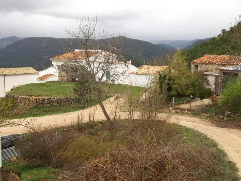
Traditional constructions have only been modified, although the most rewarding is the view that you can enjoy from the village that really constitutes a natural balcony open to an overwhelming landscape in which stands out on the whole Calar del Cobo with the Puntal of the Mass.

If you like them, you can't stop visiting the Umbria, as it's a very good area for the collection of these mushrooms. In addition, a delicious unmarked road leads to the nearby village of Cabeza Gorda, located on the opposite side of a mountain, which is naturally called Morro de Cabeza Gorda.

Breve descripción

Despite being called the Umbria de Cabeza Gorda we are in front of a village located on a solana, with vegetation typical of the Mediterranean forest. You can see an isolated house around an explanade belonging to the ancient era, next to which there are some cherry trees and a fountain that welcome us.

Ubicación
Latitud
38.183050
Longitud
-2.626130
Distrito
Ubicación en el mapa
POINT (-2.62613 38.18305)
Tipos de punto de interés
Imágenes carrusel
imagen
Image
1137903Master.jpg
Imagen principal
Desactivado
imagen
Image
unnamed%20%281%29.png
Imagen principal
Desactivado
Imágenes cabecera
imagen
Image
8.jpg
Imagen principal
Activado
Loading map
Preparing points of interest and routes...
Marcas de calidad

Travertines of the Río Borosa

Submitted by brandcode_deweloper on
Id
877964
Descripción
Descripción larga

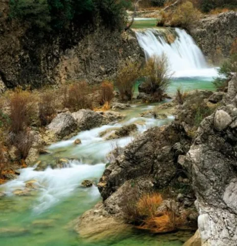
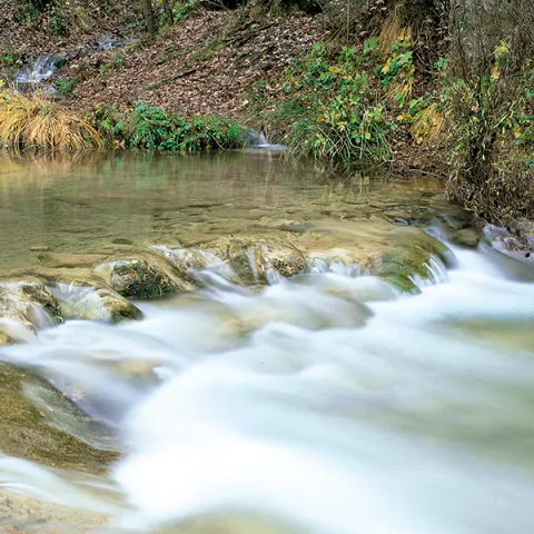
The upper part of the Borosa River, has a scalated profile for the development of pozas and waterfalls in which travertine terraces are formed with spectacular botroidal calcite morphologies that were precipitated during the most humid and warm periods of the Quaternary.

Although travertine appear throughout the river, the highest concentration is located in the sector between the organ jump and the electric power plant. Its formation is due to the precipitation of calcite caused by the tear-up of the river waters produced by the turbulent regime of the water leaps in the areas with the greatest slope. This precipitation occurs in areas of dense vegetation receding elements of plants and producing subvertical sheets known as cascade facies.

Breve descripción

Travertinos del Río Borosa

Ubicación
Nombre
Río Borosa
Latitud
38.298857
Longitud
-2.651877
Distrito
Ubicación en el mapa
POINT (-2.651877 38.298857)
Tipos de punto de interés
Imágenes carrusel
imagen
Image
5%20%284%29.jpg
Imagen principal
Desactivado
Imágenes cabecera
imagen
Image
borosa.png
Imagen principal
Activado
Horario
Tuesday to Friday: 10: 00 - 14: 00. Tuesday to Saturday: 18: 00 - 20: 00. Saturdays and Sundays: 10: 00 - 13: 30.
Loading map
Preparing points of interest and routes...

Travertines of La Toba

Submitted by brandcode_deweloper on
Id
877847
Descripción
Descripción larga

It is a travertine of hectometric dimensions, located on the southern side of the valley of the Segura River, in a sector very close between the Puntal of the Vultures (1680 m) and the Calar del Pino (1567 m). The travertine, attached to the steep carbonate side of the Cretaceous, has a higher flat morphology, on which the picturesque village of La Toba is located.

In the vertical walls of the travertine there are several karmic resurrections with spectacular water jumps and great beauty carbonate morphologies. Stratigraphically, the uprisings are at the base of the upper Cretaceous dolomies, which constitute the aquifer, on the waterproof levels that belong to the lower Cretaceous.

Source: Inventory of Georresources of Andalusia. Environmental Council. Junta de Andalusia.

Breve descripción

Travertinos de La Toba

Ubicación
Latitud
37.912893
Longitud
-3.003887
Municipio
Ubicación en el mapa
POINT (-3.003887 37.912893)
Tipos de punto de interés
Imágenes carrusel
imagen
Image
5%20%281%29.jpg
Imagen principal
Desactivado
imagen
Image
6%20%281%29.jpg
Imagen principal
Desactivado
Imágenes cabecera
imagen
Image
la-toba.png
Imagen principal
Activado
Loading map
Preparing points of interest and routes...

Natural Rock Screws of Gualay

Submitted by brandcode_deweloper on
Id
4486441
Descripción
Descripción larga

Location: To the south of the town, in the natural park of Cazorla, Segura and Las Villas.

Distance: 42 km

Medium: By vehicle, by bike and on foot.

Access route:: On the road A-319 towards La Iruela; at this point, after going 13 km, we will take the Chorro road, then turn away by the horseshoe road leading to Puerto Llano.

Breve descripción

This is a beautiful place where we can enjoy watching the coastal vegetation surrounding the Arroyo de los Tornillos de Gualay; it is the ideal place to start visiting different enclaves of interest within the Natural Park.

Ubicación
Código Postal
23470
Latitud
37.913497
Longitud
-3.125280
Municipio
Ubicación en el mapa
POINT (-3.12528 37.913497)
Tipos de punto de interés
Imágenes carrusel
imagen
Image
gualay2.jpg
Imagen principal
Desactivado
Imágenes cabecera
imagen
Image
tornillogualay.jpg
Imagen principal
Activado
Loading map
Preparing points of interest and routes...

Pond and Orchard Irrigation Systems de Pegalajar

Submitted by brandcode_deweloper on
Id
5848991
Descripción
Breve descripción

Set qualified by the Council of Culture of the Junta de Andalucía as a Place of Ethnological Interest, and included in the General Catalogue of Historical Heritage of the Junta de Andalucía. System of Muslim-medieval origin, for the storage of water, irrigation and exploitation of a system of traditional gardens in banks built in masonry. It is currently in serious danger of deterioration and change of use, despite its protection.

Ubicación
Latitud
37.740730
Longitud
-3.645870
Distrito
Municipio
Ubicación en el mapa
POINT (-3.64587 37.74073)
Tipos de punto de interés
Imágenes carrusel
imagen
Image
huerta3%20%282%29.jpg
Imagen principal
Desactivado
Imágenes cabecera
imagen
Image
huerta-banc%20%282%29.jpg
Imagen principal
Activado
Microsite al que pertenece
Loading map
Preparing points of interest and routes...

Syncline of the Poyos de la Mesa

Submitted by brandcode_deweloper on
Id
877705
Descripción
Descripción larga

The hill of the Poyos de la Mesa is an inverted relief in which the dolomies of the Upper Cretaceous and the limestones of the discordant Miocene on them are affected by a sincerity perfectly visible from the north.

The fold is more tight in the older materials (Cretaceous dolomies), and is more open in the discordants (myocene limestones). Both litological sets flare at the top, very steep, of the relief. Between them there is a well-developed canchal, which marks approximately the axial plane of the fold.

Source: Inventory of Georresources of Andalusia. Environmental Council. Junta de Andalusia.

Breve descripción

Stilting of the Poyos of the Table

Ubicación
Latitud
37.912893
Longitud
-3.003887
Municipio
Ubicación en el mapa
POINT (-3.003887 37.912893)
Tipos de punto de interés
Imágenes carrusel
imagen
Image
564_img.png
Imagen principal
Desactivado
imagen
Image
2%20%281%29.jpg
Imagen principal
Desactivado
imagen
Image
3%20%281%29.jpg
Imagen principal
Desactivado
Imágenes cabecera
imagen
Image
1.jpg
Imagen principal
Activado
Loading map
Preparing points of interest and routes...

Chasm / Sinkhole of Pinar Negro

Submitted by brandcode_deweloper on
Id
877405
Descripción
Descripción larga

The total power of the section is over 150 m. On a few sucrose dolomies attributed to the lower and medium Jurassic we find materials from the upper Kimmeridgian; they are limeals with large gastropods and corals that end up on an erosive surface with a crusts of iron oxides.

The following are limestones, locally sandy and margas, with various levels of interspersed calcrets; these materials are being decrified and dolomitised, giving way to stoned dolomies with abundant carbonous remains; this whole set of materials is of the age Hauteriviense- Barremiense. The lower Aptiense is characterized by the presence of sands, calcareous sandstone and sandy limestone with laminations and cross stratifications as well as orbitolins at various levels. The materials of the upper Aptiense have abundant rudists and orbitolins. The Albibe is represented by dolomies with black songs and ghosts of rudists.

Source: Inventory of Georresources of Andalusia. Environmental Council. Junta de Andalusia.

Breve descripción

Black Pinar Sima

Ubicación
Latitud
38.298857
Longitud
-2.651877
Distrito
Ubicación en el mapa
POINT (-2.651877 38.298857)
Tipos de punto de interés
Imágenes carrusel
imagen
Image
P1050513.JPG
Imagen principal
Desactivado
imagen
Image
V04.jpeg
Imagen principal
Desactivado
Imágenes cabecera
imagen
Image
pinar-negro.jpg
Imagen principal
Activado
Loading map
Preparing points of interest and routes...

Mountain Range of the Trigo

Submitted by brandcode_deweloper on
Id
4867768
Descripción
Breve descripción

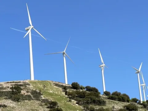
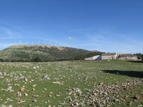
This is an important mountain port, from where we can seestunning panoramicSierra Sur, Sierra Mágina, Sierra de Arana and Sierra Nevada. In two of his tops,The NevazosandCerro del Hoyo Cigarronesdifferent phases of thewind park.

Ubicación
Código Postal
23140
Latitud
37.515210
Longitud
-3.738680
Distrito
Municipio
Ubicación en el mapa
POINT (-3.73868 37.51521)
Tipos de punto de interés
Imágenes carrusel
imagen
Image
SierraTrigo.jpg
Imagen principal
Desactivado
Imágenes cabecera
imagen
Image
Sierra_del_Trigo01.jpg
Imagen principal
Activado
Microsite al que pertenece
Loading map
Preparing points of interest and routes...

Mountain Range of the Oro

Submitted by brandcode_deweloper on
Id
8090429
Descripción
Descripción larga

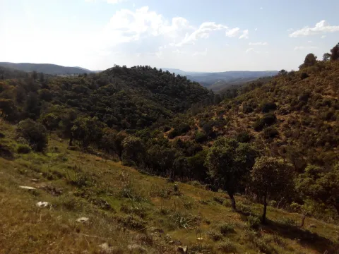
This saw welcomes the typical Mediterranean forest, with the rich and typical varied flora and fauna. Areas of pedestal steep, others with typical river vegetation, and the serrana area characteristic of Sierra Morena. As for its fauna, typical of Sierra Morena, we find many species of cynegetic species such as deer, boar, muflon, go, foxes, rabbits, perdices, hares, doves, etc. Its flora is made up of low mountain and native Mediterranean forest of oak, juniper, madroño, acebuchs, alcornoques, torviscos, complaints, rosemary, thyme, pellet, lentils, cornicabra, zarzas; large and large areas of jars, shrubs, some coniferous areas, reduced presence of areas of dehesa, fruit such as pomegranate, fig tree, membranel, typical talleds, chopos, juncos, canyizales and other river vegetation.

Breve descripción

This saw is the jewel enjoyed by the citizens of Castellar thanks to the Scriptures of Concordia signed by the three peoples and the Marquis. Unfortunately, man's hand has transformed this lung with the fire a few years ago, although it is gradually trying to recover its lost image.

Telecomunicaciones
Sitio web
www.castellar.es/patrimonio-natural
Teléfono de contacto
953 460 005
Ubicación
Código Postal
23260
Latitud
38.252940
Longitud
-3.130944
Distrito
Municipio
Ubicación en el mapa
POINT (-3.130944 38.25294)
Tipos de punto de interés
Imágenes carrusel
imagen
Image
sierra%20del%20oro.jpg
Imagen principal
Desactivado
Imágenes cabecera
imagen
Image
f503c72bd5e3adfce980be013ef81cf0_720x560.jpg
Imagen principal
Activado
Loading map
Preparing points of interest and routes...