Saltar al contenido principal
icon-intereses-cultura

La Toba

Submitted by brandcode_deweloper on
Id
659826
Descripción
Descripción larga

Through the Toba passes the path GR 147, so we can travel some sections either in the direction of Santiago de la Espada, or in the direction of the Casicas del Río Segura. You can also gain unforgettable views over the Segura Valley if you go up the forest track of Awake-up.

Breve descripción

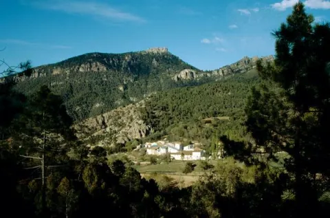
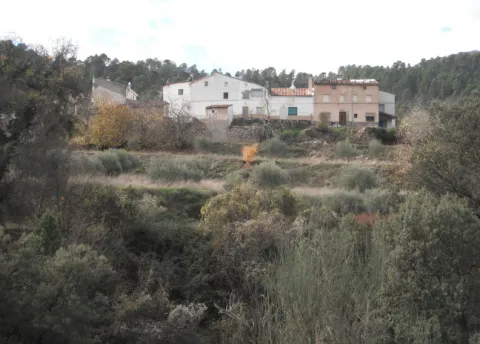
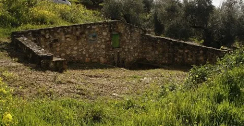
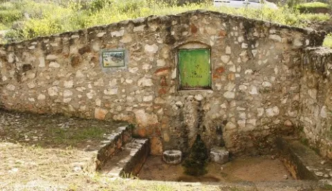
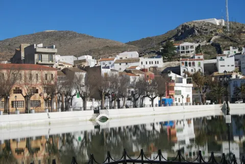
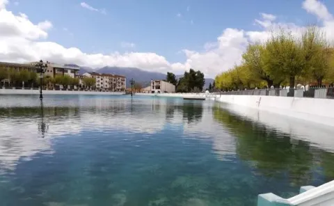
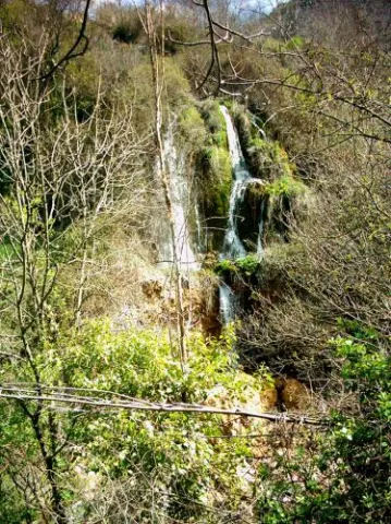
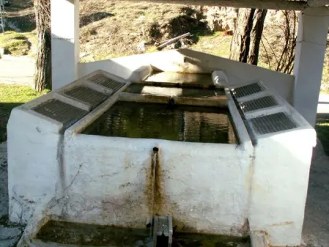
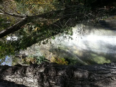
The water catches the senses in the village of Toba. Its spread in some of its streets, freshness, its surrounding sound are guaranteed if you visit this delicious village. You can't miss the birth of the Toba, right next to the village, with a cave you can access inside if you're not afraid of cold water.

Ubicación
Latitud
38.118220
Longitud
-2.670100
Ubicación en el mapa
POINT (-2.6701 38.11822)
Tipos de punto de interés
Imágenes carrusel
imagen
Image
600_image_2.jpg
Imagen principal
Desactivado
imagen
Image
600_image_3.jpg
Imagen principal
Desactivado
Imágenes cabecera
imagen
Image
La_Toba-Fuentetoba-03.jpg
Imagen principal
Activado
Loading map
Preparing points of interest and routes...

La Puente

Submitted by brandcode_deweloper on
Id
912688
Descripción
Descripción larga

Cobos not only had territorial jurisdiction over these populations, but also exercised strong control over all of them of their Councils and their inhabitants.

In Torres, apart from certain actions to preserve the medieval castle, the Council planned various works throughout the 16th century, such as the capitular houses, the posite, the reform of the parish temple and a bridge, absolutely necessary to unite the town with the site of the Fuenmayor, where the mills of the secretary Cobos were located, by which the neighbors were required to pass. In the population, the only one who had a privilege to build mills was Cobos and his wife, Maria de Mendoza. Their control assured them of a safe income, so it was absolutely necessary to keep the bridge in good condition.

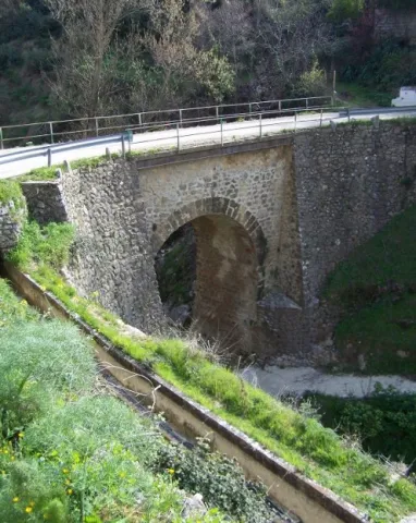
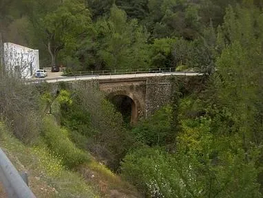
Dead Cobos, Mrs. Maria de Mendoza, through his butler Bartolomé Ximénez, ordered the Council to make a new bridge, as the old man was destroyed by a heavy storm. The project was carried out by Andrés de Vandelvira, an architect at the service of the family of Cobos. According to María José Sánchez Lozano the works began in 1561, and the following year the Council agreed that all that was left to rise from it should be done according to the trace of Andrés de Vandelvira: "(...) I saw what is left to be made of the work of the bridge that is to be done in the river of the said villa for the passage of the mills of the bread of his lordship (...) command that everything that is left to be made of the bridge be done by the trace that has given Andrés de Vandelvira (...). The bridge, which is currently preserved, although removed, is made of stone and has a single half-point eye rather high, as the ravine on which it rises is very deep in this area.

Vandelvira draws a bridge without great pretensions, without decorative attachments, in which security and permanence in time must take precedence over other aspects. Vandelvira will be an experienced bridge builder, sometimes simple as this one of Torres, others of great architectural and engineering monumental, such as those raised on the channels of the Guadalmena, Guadalimar (Ariza) and Guadalquivir (Mazuecos) rivers.

Breve descripción

In 1539 the Secretary of Charles V, the ubetense Don Francisco de los Cobos, acquired the villas of Canena and Torres, which were alienated by the Crown to the Military Orders of Santiago and Calatrava. With this double purchase he rounded Cobos his heritage; years earlier, in 1537 he also made it with the villa of Sabiote, head of his large lordship, completed with the acquisition of Jimena and Recena by his wife Maria de Mendoza.

Telecomunicaciones
Sitio web
www.torresturismo.es
Teléfono de contacto
953 363 011
Correo electrónico
info@torresturismo.es
Ubicación
Código Postal
23540
Latitud
37.786140
Longitud
-3.509730
Distrito
Municipio
Ubicación en el mapa
POINT (-3.50973 37.78614)
Tipos de punto de interés
Imágenes carrusel
imagen
Image
La%20Puente%202.jpg
Imagen principal
Desactivado
imagen
Image
La%20Puente.jpg
Imagen principal
Desactivado
Imágenes cabecera
imagen
Image
800px-La_Puente%2C_Torres_24J_02.jpg
Imagen principal
Activado
Microsite al que pertenece
Loading map
Preparing points of interest and routes...
La Peñuela

Submitted by brandcode_deweloper on
Id
4555271
Descripción
Descripción larga

It is a cozy road and recreational area, which has a lookout from where to enjoy stunning views. It also has shadow areas and a water source.

Location: Very close to the urban core.

Distance: 2.5 km.

Medium: Tourism vehicle.

Access route: Through a dirt lane that leaves directly from the city centre.

Ubicación
Código Postal
23130
Latitud
37.597850
Longitud
-3.622070
Distrito
Municipio
Ubicación en el mapa
POINT (-3.62207 37.59785)
Tipos de punto de interés
Imágenes carrusel
imagen
Image
pe%C3%B1uela1.png
Imagen principal
Desactivado
Imágenes cabecera
imagen
Image
pe%C3%B1uela.png
Imagen principal
Activado
Microsite al que pertenece
Loading map
Preparing points of interest and routes...
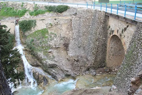
La Lambra

Submitted by brandcode_deweloper on
Id
4554840
Descripción
Descripción larga

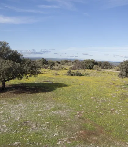
From this place you can see thePantano de Giribola,Caves and Castle of Giribolaand the municipality of Vilches. Nearby we can find some cortijos such as:The Lambra,Mirabuens,The CologneandLa Casería.

The ground is limestone and reddish. The vegetation that covers it is typically Mediterranean with species such as the oak, the lentisco, the retama, the olive thyme, the spatter, the steppe jara, the brown and the cuckoo.

Until a few years ago, on spring and summer Sundays it was a very busy place. The Sunday of Resurrection was difficult to find a shadow of free oak or chaparro, because almost all the people of Canena, Rus and other villages camped that day to enjoy a day of field.

Breve descripción

It is a Natural Area located in the municipal term of Rus, it is an ideal place to enjoy a day of countryside. Located on the flat, most of this land is private property, although free to anyone so that you can spend a nice day.

Telecomunicaciones
Teléfono de contacto
953 127 115
Ubicación
Código Postal
23430
Latitud
38.076950
Longitud
-3.488750
Dirección
Carretera Canena-Arquillos, km. 3
Municipio
Ubicación en el mapa
POINT (-3.48875 38.07695)
Tipos de punto de interés
Imágenes carrusel
imagen
Image
paraje-la-lambra.jpg
Imagen principal
Desactivado
Imágenes cabecera
imagen
Image
galeria_inicio_05.jpg
Imagen principal
Activado
Microsite al que pertenece
Loading map
Preparing points of interest and routes...
La Laguna

Submitted by brandcode_deweloper on
Id
5928867
Descripción
Breve descripción

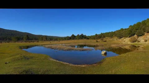
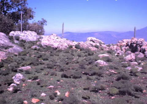
The Laguna de Siles is approximately 150 m in diameter and 3 m in maximum depth depending on the station. To access La Laguna, from the municipality of Siles, an indicative lane is taken in the direction of El Puntal. At one of the crosses to the left, a lane goes straight to the place, and is very well identified with signs.

Ubicación
Latitud
38.377901
Longitud
-2.537913
Distrito
Municipio
Ubicación en el mapa
POINT (-2.537913 38.377901)
Imágenes carrusel
imagen
Image
4.jpg
Imagen principal
Desactivado
Imágenes cabecera
imagen
Image
pantanosiles.png
Imagen principal
Activado
Loading map
Preparing points of interest and routes...

La Hueta

Submitted by brandcode_deweloper on
Id
659691
Descripción
Descripción larga

In the vicinity of the Hueta there are waterfalls and a lagoon that we suggest you discover. Very close to the Hueta there are other villages such as Puente Honda and you can even approach the ruins of the castle of the same name.

Breve descripción

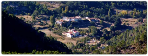
After going down a very sinuous road we reach a small valley in which La Hueta is located, which is divided into two neighborhoods. In the centre of the village you will find a laundry and a small garden with the image of the virgin of Fatima. From the set stands out the landscape that surrounds the village, highlighting at the bottom the hill of Bucentaina with the spectacular Piedra del Agujero, in a sea of pine trees sauté with complaints and oaks, which contrasts with the areas adapted to the cultivation next to the village.

Ubicación
Latitud
38.318022
Longitud
-2.661052
Distrito
Municipio
Ubicación en el mapa
POINT (-2.661052 38.318022)
Tipos de punto de interés
Imágenes carrusel
imagen
Image
599_img.png
Imagen principal
Desactivado
imagen
Image
599_image_1.jpg
Imagen principal
Desactivado
Imágenes cabecera
imagen
Image
aldeahueta.png
Imagen principal
Activado
Loading map
Preparing points of interest and routes...
Marcas de calidad

La Fuente del Vergao

Submitted by brandcode_deweloper on
Id
4742245
Descripción
Breve descripción

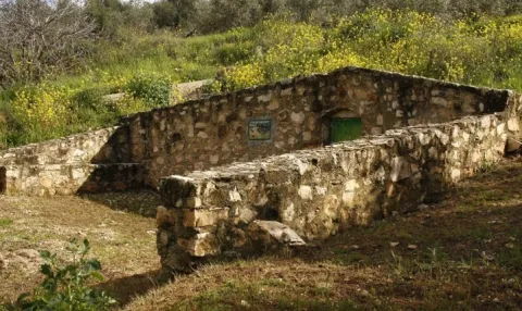
The source of El Vergao is a public source whose existence has been known at least since 1752. It is a source of alcoba that was in use until 1966, when the municipality was provided with the drinking water network. It is located next to the road of El Vergao.

Ubicación
Latitud
38.183511
Longitud
-3.313678
Distrito
Municipio
Ubicación en el mapa
POINT (-3.313678 38.183511)
Tipos de punto de interés
Imágenes carrusel
imagen
Image
unnamed.jpg
Imagen principal
Desactivado
imagen
Image
La%20Fuente%20del%20Vergao.jpg
Imagen principal
Desactivado
Imágenes cabecera
imagen
Image
7.jpg
Imagen principal
Activado
Loading map
Preparing points of interest and routes...

La Hermitage of Santa María Magdalena

Submitted by brandcode_deweloper on
Id
4619189
Descripción
Descripción larga

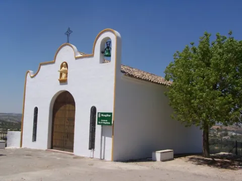
It features a simple half-point arch cover with two small side voids imitating saetas. On the top we find a hornadine with the image of Mary Magdalena and on a side a small body of swordsman.

Breve descripción

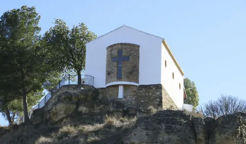
On July 14, 1990, the new hermitage of Santa María Magdalena was opened and blessed; it is located on the hill of Maquiz, where the old one was and which is quoted in the 16th century.

Telecomunicaciones
Sitio web
https://mengibarturismo.com/
Teléfono de contacto
677 222 285
Correo electrónico
turismo@aytomengibar.com
Ubicación
Código Postal
23620
Latitud
37.968050
Longitud
-3.808780
Dirección
Carretera A-6000 a Villargordo, desvío por el camino de Los Chorrillos
Distrito
Municipio
Ubicación en el mapa
POINT (-3.80878 37.96805)
Tipos de punto de interés
Imágenes carrusel
imagen
Image
La%20Ermita%20de%20Santa%20Mar%C3%ADa%20Magdalena.jpg
Imagen principal
Desactivado
Imágenes cabecera
imagen
Image
ermita-de-la-malena-mengibar.jpg
Imagen principal
Activado
Microsite al que pertenece
Loading map
Preparing points of interest and routes...
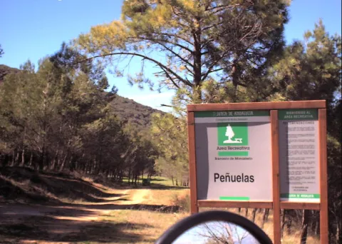
La Hermitage of Jesús

Submitted by brandcode_deweloper on
Id
4969981
Descripción
Breve descripción

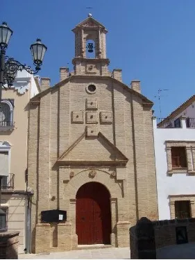
Built in the17th century, retains the cover of its only floor with canyon vault with lunetes. The 18th century facade stands out for its monocrous simplicity of the brick, the ascending verticality of lines and the articulation of spaces. From its interior to highlight theJesus' shrimpwith paintings of this century in the vault.

Telecomunicaciones
Sitio web
www.arjonilla.es/el-municipio/patrimonio-historico.html
Correo electrónico
alcaldia@ayuntamientodearjonilla.es
Ubicación
Código Postal
23750
Latitud
37.974440
Longitud
-4.107590
Dirección
Plaza de la Encarnación, s/n
Distrito
Municipio
Ubicación en el mapa
POINT (-4.10759 37.97444)
Tipos de punto de interés
Imágenes carrusel
imagen
Image
Ermita%20de%20Jes%C3%BAs%20en%20arjonilla.jpg
Imagen principal
Desactivado
Imágenes cabecera
imagen
Image
ermita%20%281%29.jpg
Imagen principal
Activado
Microsite al que pertenece
Loading map
Preparing points of interest and routes...
The Pond

Submitted by brandcode_deweloper on
Id
4658699
Descripción
Descripción larga

This spring has never been enough to fertilize all the lands that extend on a decreasing level towards the Guadalbullion River. On the other hand, the years of drought have always been very numerous, in which the volume of this source was significantly reduced, because the piezometric surface of the aquifer located to the north of the population, which gives rise to the Charca spring, is linked to driving through galleries with siphoning phenomena.

Breve descripción

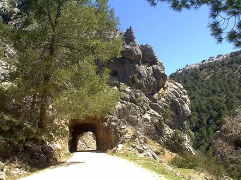
La Charca is a reservoir that collects the waters of the birth of the Fuente de la Reja from medieval times. In the beginning it was a simple dam with a containment stone wall and gates that regulated the water output through an intricate network of miles of waterfalls. These irrigated the orchard and olive lands located to the south of the urban core, distributed in banks. The higher caces served as a southern limit to the population, thus delimiting the urban growth of Pegalajar.

Ubicación
Código Postal
23110
Latitud
37.739660
Longitud
-3.644450
Distrito
Municipio
Ubicación en el mapa
POINT (-3.64445 37.73966)
Imágenes carrusel
imagen
Image
lacharca.jpg
Imagen principal
Desactivado
Imágenes cabecera
imagen
Image
charca-kM3F-U501644234364StF-624x385%40Ideal.jpg
Imagen principal
Activado
Microsite al que pertenece
Loading map
Preparing points of interest and routes...