Hiking Route Poandos de La Mesa
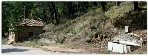
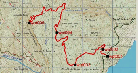
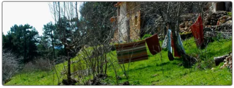
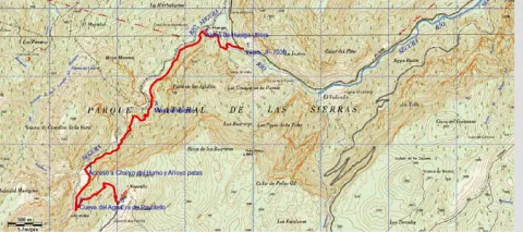
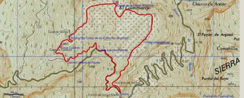
The ships are very fertile lands that are located at a certain height that have been exploited by man since time immemorial as fresh pastures or as agricultural grounds; in the first of them we find in the asphalt Track first and after land JF-7091, the Nava del Espino, is the beginning of this path, right next to the ruins of the forest house of the same name.
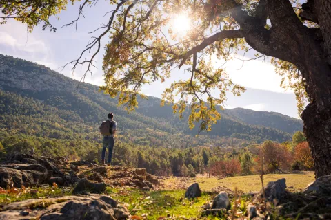
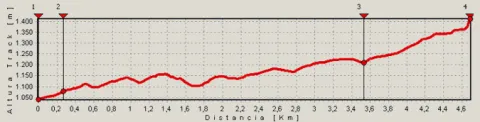
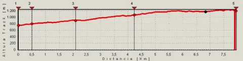
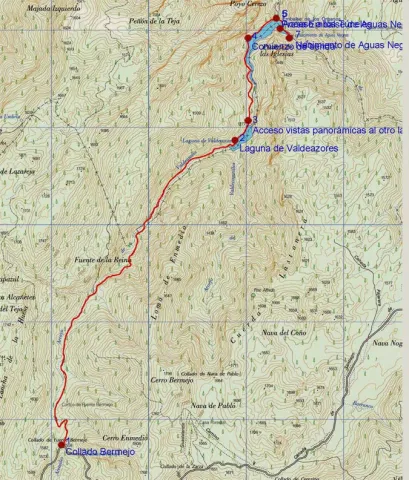
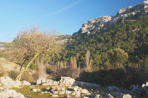
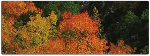
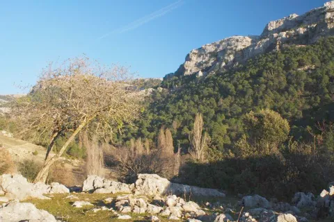
The route always by narrow track of land, closed to the traffic of private vehicles, runs through spectacular laricio forest with large pastures, and is gradually ascending along the slopes of Los Poyos de la Mesa. It is very common to observe the great herbivores of the park on this route, and to find up to the four species that exist along it.
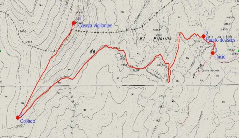
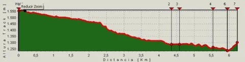
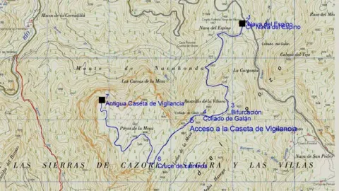
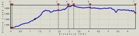
After walking 2.4 km we find a fork that we will have to follow to the right and gently continue the ascent.
In the km 3 after the Galan Collado the views to the right begin to be spectacular, for practically without realizing we are incarnate in one of the most classic calares we can find, we are really on the edge of a table. Here the limestone that we have just below acts as a great sponge that collects water in periods of abundance, to gradually release it several hundred meters below and months later. It is worth deviating from our route in km 3.3 to the left to climb to the moon fire surveillance shed that remains in the rocky crest that we have parallel and this is in use in the months of maximum risk.
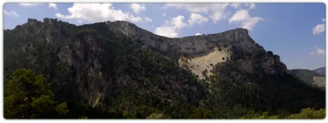
Just a few meters later we find ourselves immersed in a high platform, full of dolins and minions with large forest clear very rich in fresh grass. It is an ideal place for wildlife observation. We will continue the track through which we travel without leaving it until we reach the km 4.1, there we find a track to the front that quickly begins to descend, we must despise it and continue on the one that turns to the right, continuing on the calar. Finally we will reach the edge of a cut rocky where the old surveillance house of the Poyos is located, a true natural viewpoint of the Guadalquivir valley.
The ships are very fertile lands that are located at a certain height that have been exploited by man since time immemorial as fresh pastures or as agricultural grounds; in the first of them we find in the asphalt Track first and after land JF-7091, the Nava del Espino, is the beginning of this path, right next to the ruins of the forest house of the same name. The route always by narrow track of land, closed to the traffic of private vehicles, runs through spectacular laricio forest with large pastures, and is gradually ascending along the slopes of Los Poyos de la Mesa.


La Garganta recreational area
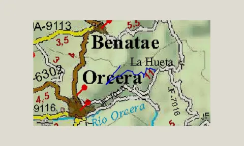
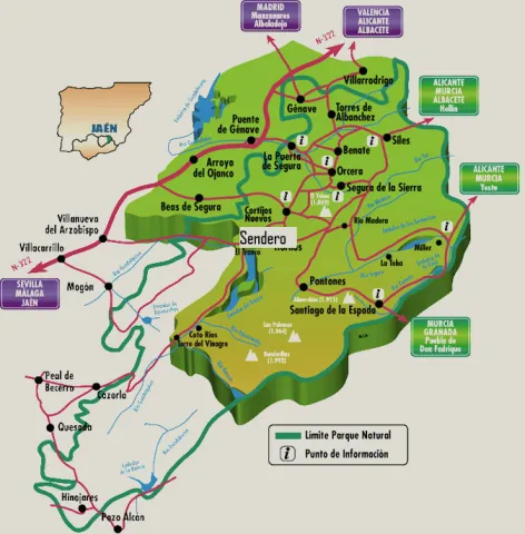
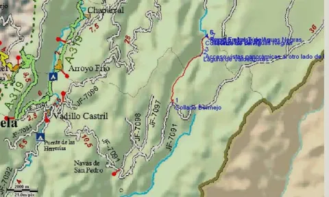
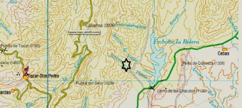
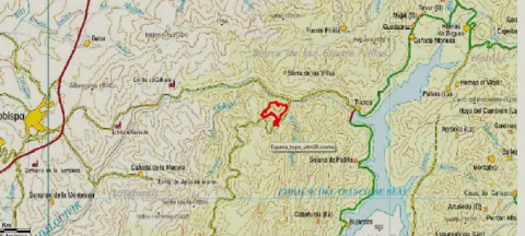
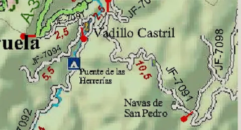
From the town of Cazorla and the Iruela or from the dam of the Tranco by the A- 319 you have to reach the Empalme del Valle located on the ascent to the port of the Doves from Arroyo Frio. There we take the JF 7091, leaving to the right the detour to the Parador, the detour to the village of the Vadillo-Castril and the detour to the birth of the Guadalquivir. We continue this asphalt road that then becomes a forest track towards the Navas and the path starts on the Espino Navy right on the Ruins of the Espino CF Nava that we find on our right.
Former Bureau Poo Monitoring Hat