Saltar al contenido principal

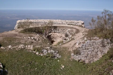
Viewpoint Castle of Santa Catalina

Submitted by brandcode_deweloper on
Id
7477305
Descripción
Breve descripción

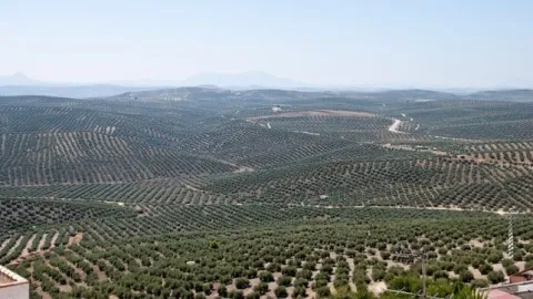
A walk outside the Parador offers an aerial view over the olive groves of the countryside, between Jaén and Sierra Morena.

Ubicación
Código Postal
23003
Latitud
37.767780
Longitud
-3.799800
Dirección
Cerro, C/ Sta. Catalina, s/n
Distrito
Municipio
Ubicación en el mapa
POINT (-3.7998 37.76778)
Tipos de punto de interés
Imágenes carrusel
imagen
Image
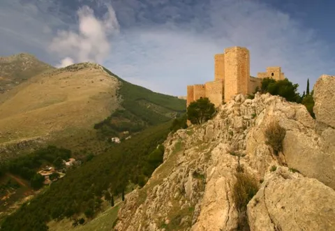
image_104368.jpeg
Imagen principal
Desactivado
imagen
Image
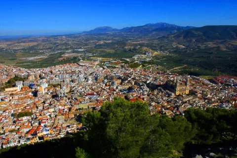
image_217365.jpeg
Imagen principal
Desactivado
Microsite al que pertenece
Loading map
Preparing points of interest and routes...
Viewpoint Castle of la Peña de Martos

Submitted by brandcode_deweloper on
Id
7474476
Descripción
Breve descripción

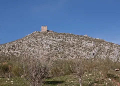
An excursion from the city centre of Martos will lead you to the ruin of the mystery-filled castle. It is a great lookout over the longest olive groves in the province.

Ubicación
Código Postal
23600
Latitud
37.718020
Longitud
-3.960870
Distrito
Municipio
Ubicación en el mapa
POINT (-3.96087 37.71802)
Tipos de punto de interés
Imágenes carrusel
imagen
Image
castillo-martos.jpg
Imagen principal
Desactivado
Imágenes cabecera
imagen
Image
castillo-pena.jpg
Imagen principal
Activado
Microsite al que pertenece
Loading map
Preparing points of interest and routes...
Viewpoint Castle of Baños de la Encina

Submitted by brandcode_deweloper on
Id
7473108
Descripción
Breve descripción

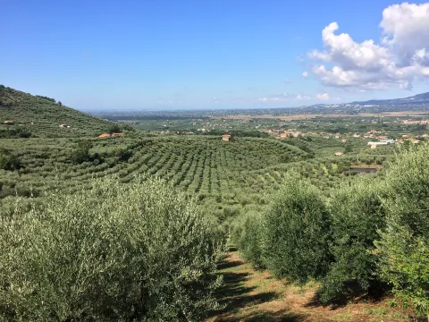
One of the oldest castles in Europe, a film scene, magnificent Almohad military construction, allows us an extensive view of the olive grove near Sierra Morena.

Ubicación
Nombre
Cerro del Cueto
Código Postal
23711
Latitud
38.170310
Longitud
-3.775320
Dirección
Plaza de Santa María, 1
Distrito
Ubicación en el mapa
POINT (-3.77532 38.17031)
Tipos de punto de interés
Imágenes carrusel
imagen
Image
mirador.jpg
Imagen principal
Desactivado
Imágenes cabecera
imagen
Image
banos-encina.jpg
Imagen principal
Activado
Loading map
Preparing points of interest and routes...
Viewpoint Casco Histórico de Iznatoraf

Submitted by brandcode_deweloper on
Id
7504663
Descripción
Breve descripción

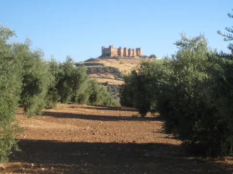
One of the highest towns in Andalusia, this urban town is located at 1000 meters of altitude, as a watchhouse over tens of kilometers of olive trees in all directions. The view of the Sierra de Las Villas is spectacular.

Ubicación
Código Postal
23338
Latitud
38.157390
Longitud
-3.033010
Municipio
Ubicación en el mapa
POINT (-3.03301 38.15739)
Tipos de punto de interés
Imágenes carrusel
imagen
Image
image_148449.jpeg
Imagen principal
Desactivado
imagen
Image
image_148455.jpeg
Imagen principal
Desactivado
Imágenes cabecera
imagen
Image
image_165313.jpeg
Imagen principal
Activado
Loading map
Preparing points of interest and routes...
Viewpoint Casco Antiguo de Arjona

Submitted by brandcode_deweloper on
Id
7470431
Descripción
Breve descripción

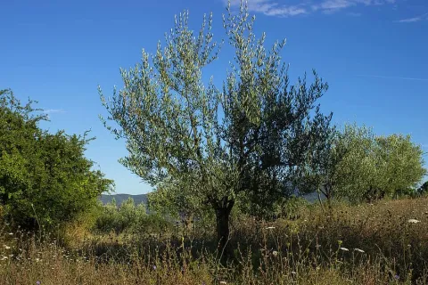
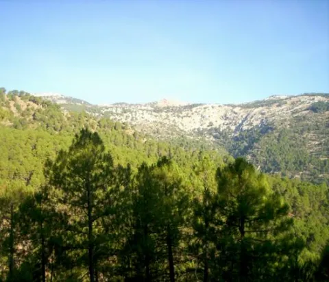
This town occupies a central position in the olive countryside of Jaén. The old fortified site offers magnificent views of the entire western countryside of the province of Jaén.

Ubicación
Latitud
37.935290
Longitud
-4.054010
Dirección
Casco antiguo de Arjona
Distrito
Municipio
Ubicación en el mapa
POINT (-4.05401 37.93529)
Tipos de punto de interés
Imágenes carrusel
imagen
Image
view-856935_1920.jpg
Imagen principal
Desactivado
imagen
Image
tuscany-4459537_1920.jpg
Imagen principal
Desactivado
Imágenes cabecera
imagen
Image
olive-tree-1495365_1920.jpg
Imagen principal
Activado
Microsite al que pertenece
Loading map
Preparing points of interest and routes...
Interés

Estaca Grande

Submitted by brandcode_deweloper on
Id
7461237
Descripción
Descripción larga
  • Your access is made on foot field through.
  • The person who best knows and has studied the centenary olive trees in Martos is Mr. Ciriaco Castro Toro, retired technician of the City Council.
Breve descripción

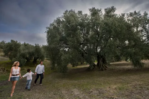
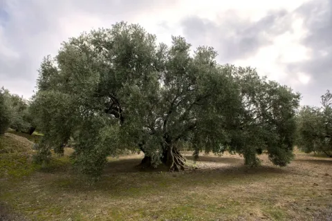
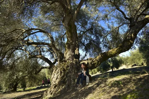
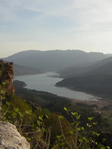
La Estaca Grande is a unique olive tree, about 300 years old, located about 450 metres from the Via Verde del Oil, right in the area called Cañada del Abandado, in the municipal term of Martos. In Jaén the olive trees are also known as stacas, in reference to their primary phase and to one of the planting methods.

Telecomunicaciones
Sitio web
https://www.martos.es/
Teléfono de contacto
953 704 005
Correo electrónico
concejal.jerena@martos.es
Ubicación
Nombre
Cañada del Abandonado
Código Postal
23600
Latitud
37.735290
Longitud
-3.970170
Distrito
Municipio
Ubicación en el mapa
POINT (-3.97017 37.73529)
Tipos de punto de interés
Imágenes carrusel
imagen
Image
estca-grande-2.jpg
Imagen principal
Desactivado
imagen
Image
olivo-estaca.jpg
Imagen principal
Desactivado
Imágenes cabecera
imagen
Image
estaca-grande-1.jpg
Imagen principal
Activado
Microsite al que pertenece
Loading map
Preparing points of interest and routes...
Interpretation Centre Olivar y Aceite

Submitted by brandcode_deweloper on
Id
777120
Descripción
Descripción larga

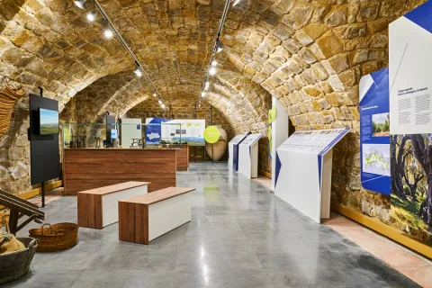
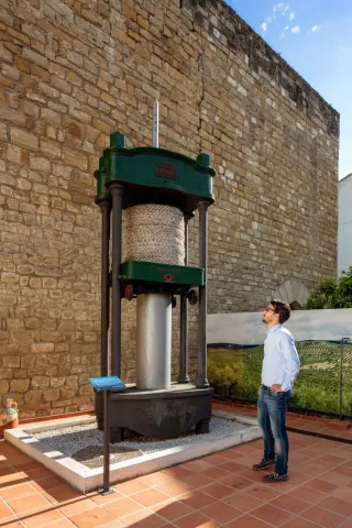
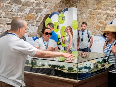
A multifunctional space, of outreach, learning and entertainment around the culture of extra Virgin Olive Oil, allowing the visitor to approach and deepen this millennial culture. All this in an exhibition area of more than 1,200 m ², through museum areas, interactive panels, exhibitions, time tunnel (a complete tour of the oil processing process, by models from the olive to the winery, in antiquity and today) and children's areas with our pet "Olivia."

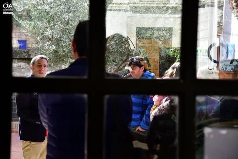
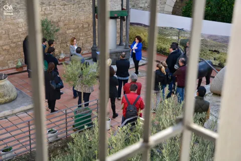
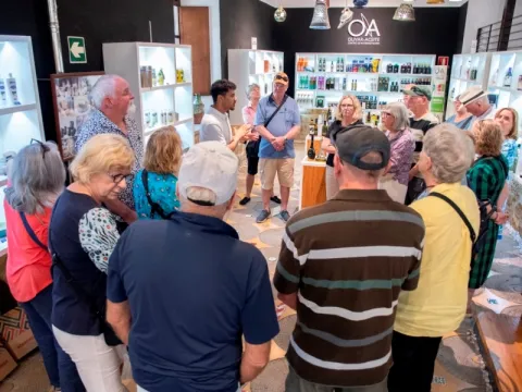
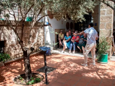
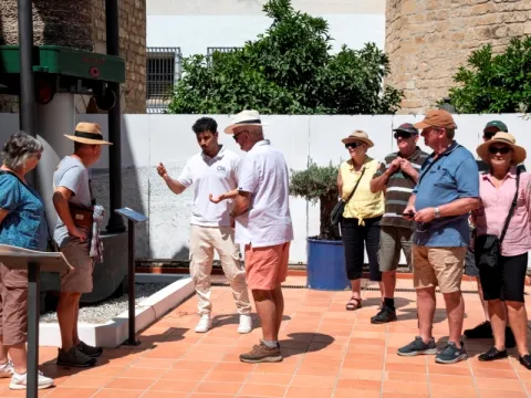
A number of educational activities are also carried out for visitors, such asOil tats, oil deustations,Training courses, gastronomic workshops,Days,Conferences, Oil workshopsandChildren's activities.

There is a specialized shop, where the visitor will find a selection of the best extra virgin olive oils, of different varieties of olives, with daily tastings, along with typical gastronomy, cosmetics and crafts that you can buy.

Breve descripción

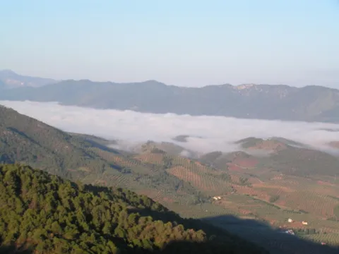
Located in the historic city of Ubeda, declared in 2003, by UNESCO "Cultural Heritage of Humanity" and at the gates of the monumental area of this Jewel of the Andalusian Renaissance, is this beautiful Interpretation Centre, where you will enjoy a unique experience around the Extra Virgin Olive Oil and its olive grove. All this in a 17th century building of unique beauty, "La Casa de la Tercia," where they combine past and present, as well as tradition with new technologies.

Telecomunicaciones
Sitio web
www.centrodeolivaryaceite.com
Teléfono de contacto
953 755 889
Correo electrónico
info@centrodeolivaryaceite.com / gerencia@centrodeolivaryaceite.com / centrodeolivaryaceite@gmail.com
Ubicación
Código Postal
23400
Latitud
38.011410
Longitud
-3.369170
Dirección
C/ Corredera de San Fernando, 32
Municipio
Ubicación en el mapa
POINT (-3.36917 38.01141)
Tipos de punto de interés
Imágenes carrusel
imagen
Image
museo-1-1-jpg
Imagen principal
Desactivado
imagen
Image
oleoturismo-d1-0039.jpg
Imagen principal
Desactivado
imagen
Image
MUSEO%201.jpg
Imagen principal
Desactivado
imagen
Image
MUSEO%202.jpg
Imagen principal
Desactivado
imagen
Image
museo-2-1-jpg
Imagen principal
Desactivado
imagen
Image
museo-3-1-jpg
Imagen principal
Desactivado
imagen
Image
visita1-jpg
Imagen principal
Desactivado
imagen
Image
visita2-jpg
Imagen principal
Desactivado
imagen
Image
visita3-jpg
Imagen principal
Desactivado
imagen
Image
visita4-jpg
Imagen principal
Desactivado
Imágenes cabecera
imagen
Image
oleoturismo-d1-0035%20%281%29.jpg
Imagen principal
Activado
Horario
Winter (oct - may): Tuesday to Saturday 10: 00 - 14: 00 and 17: 00 - 19: 30, Sundays and holidays 10: 00 - 14: 00, Monday closed. Summer (jun - sept): Tuesday to Saturday 10: 00 - 14: 00 and 18: 00 - 20: 30, Sundays and holidays 10: 00 - 14: 00, Monday closed. Tasting workshops: 11: 00 (Spanish) and 12: 30 (English) Tuesday to Sunday.
Microsite al que pertenece
Loading map
Preparing points of interest and routes...
Marcas de calidad

A-316 Road, Torreperogil-Villacarrillo-Villanueva del Arzobispo Section

Submitted by brandcode_deweloper on
Id
7468197
Descripción
Descripción larga

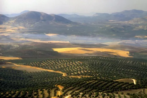
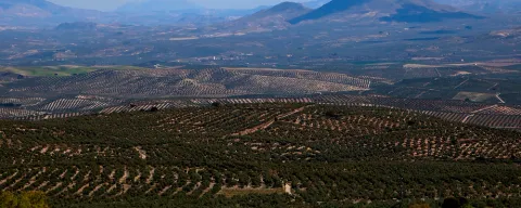
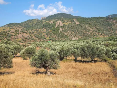
In particular this stretch of road runs almost air in the interflude of the valleys of the Guadalimar and the Guadalquivir. From this area you can see thousands of hectares of olive trees in a single look, framed by the horizons of Sierra Morena on one side, and Sierra de Segura and Sierra de Las Villas on the other.

Breve descripción

It is just an example of the great olive groves that can be seen when travelling through the province of Jaén.

Ubicación
Latitud
37.772886
Longitud
-3.788329
Municipio
Ubicación en el mapa
POINT (-3.788329 37.772886)
Tipos de punto de interés
Imágenes carrusel
imagen
Image
272ca59b7f36e64b14d2565ff1caba3a.jpg
Imagen principal
Desactivado
imagen
Image
olivos%20%281%29.jpg
Imagen principal
Desactivado
Imágenes cabecera
imagen
Image
miradores.png
Imagen principal
Activado
Loading map
Preparing points of interest and routes...
River Vault of Cerezuelo

Submitted by brandcode_deweloper on
Id
9346072
Descripción
Descripción larga

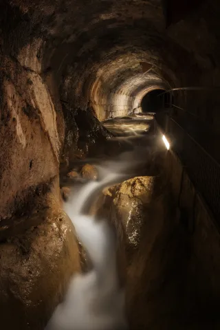
When he received the assignment, the Albacetean architect found it very difficult not to have a space of the size that Francisco de los Cobos asked for, so he solved it by building a vault on the River Cerezuelo; above the vault, the square of Santa Maria and on the square, the church, disproportionate by its enormous size, as they only lived a thousand inhabitants in the town, and yet almost cathedralicia. The project dated from 1535 and was a major engineering challenge for the media of the time.

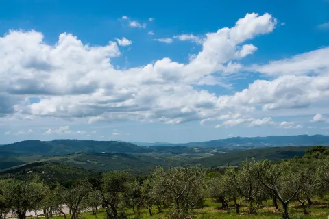
It is said to be the only church in the world built on a river, and it is today, without a doubt, along with the vault on which it rises, the great tourist attraction in the city of Cazorla.

Breve descripción

The vault covering the Cerezuelo River was designed by Andrés de Vandelvira to be able to carry out the commission of Francisco de los Cobos, secretary of Charles V, as advance of Cazorla, of the construction of the church of Santa María. It is half-canyon, very compact, and adapts to the river's riverlevels throughout the plaza de Santa María, extending from the beginning of the plaza to the temple's header wall. The length of the tour is approximately 120 meters long.

Telecomunicaciones
Sitio web
www.turismoencazorla.com/dondeiryquever/monumentosycentros/bovedariocerezuelo.php
Teléfono de contacto
953 710 102
Correo electrónico
turismo@cazorla.es
Ubicación
Código Postal
23470
Latitud
37.909143
Longitud
-3.001215
Dirección
Plaza Sta. María
Municipio
Ubicación en el mapa
POINT (-3.001215 37.909143)
Tipos de punto de interés
Imágenes carrusel
imagen
Image
B%C3%B3veda%20r%C3%ADo%20Cerezuelo%202.jpg
Imagen principal
Desactivado
Imágenes cabecera
imagen
Image
B%C3%B3veda%20r%C3%ADo%20Cerezuelo%201.jpg
Imagen principal
Activado
Horario
Tuesday to Sunday: 10: 00 - 13: 00 and 16: 00 - 20: 00. Non-festive Monday closed. Guided tours every 30 minutes from 10: 00.
Loading map
Preparing points of interest and routes...
Acebuche de Las Hoyas

Submitted by brandcode_deweloper on
Id
7459299
Descripción
Descripción larga
  • In some places it is described as a millennial and in others, a centenary.
  • Access is made by asphalt road on foot or by car.
Breve descripción

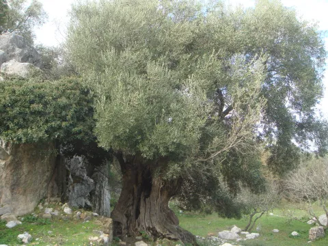
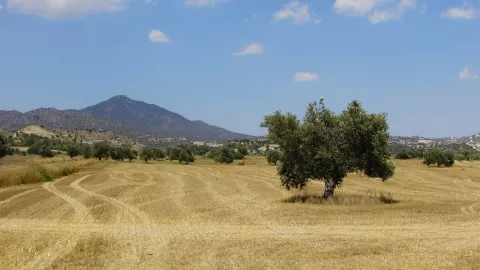
The Acebuche de Las Hoyas is distinguished both by its extraordinary dimensions and by its age. It is located near the limit of the Natural Park Sierras de Cazorla, Segura and Las Villas. It stands out its height of 15 meters and a large conical-shaped comb that measures almost 10 meters of perimeter at its base. The projection of the cup is 132.73 m ². The fuse has very obvious and longitudinal ostenses and filigranes, especially on the foot, which show the second reason for singularity, age, as it is sure to exceed 350 years.

Ubicación
Código Postal
23476
Latitud
37.938670
Longitud
-2.991190
Dirección
Carretera de La Iruela a Los Prados, Km. 2,500. Paraje de las Hoyas
Municipio
Ubicación en el mapa
POINT (-2.99119 37.93867)
Tipos de punto de interés
Imágenes carrusel
imagen
Image
eb6c7c01c4e98e1f2578f9959463b973_XL%20%281%29.jpg
Imagen principal
Desactivado
imagen
Image
Acebuche.jpeg
Imagen principal
Desactivado
Imágenes cabecera
imagen
Image
eb6c7c01c4e98e1f2578f9959463b973_2_XL.jpg
Imagen principal
Activado
Loading map
Preparing points of interest and routes...