Saltar al contenido principal

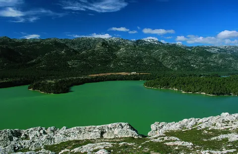
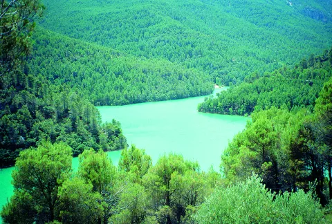
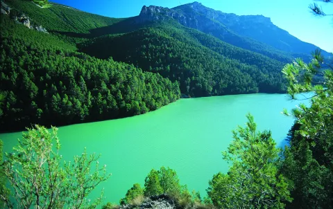
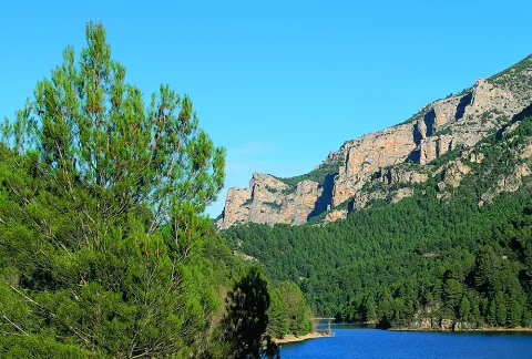
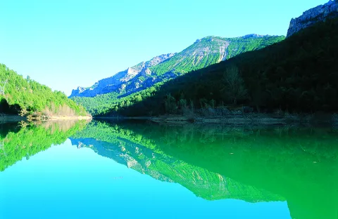
La Bolera Reservoir

Submitted by brandcode_deweloper on
Id
872785
Descripción
Descripción larga

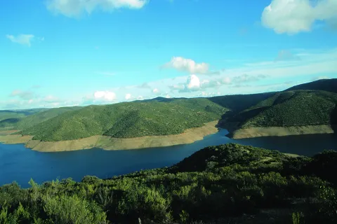
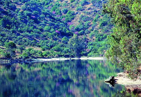
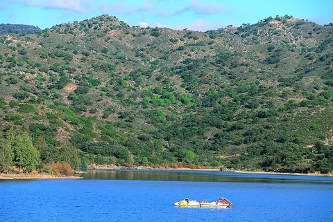
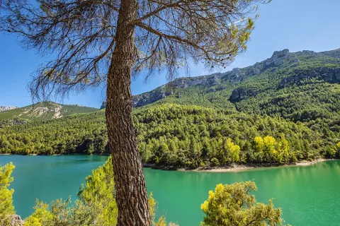
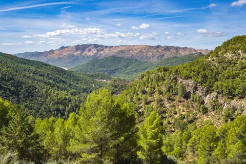
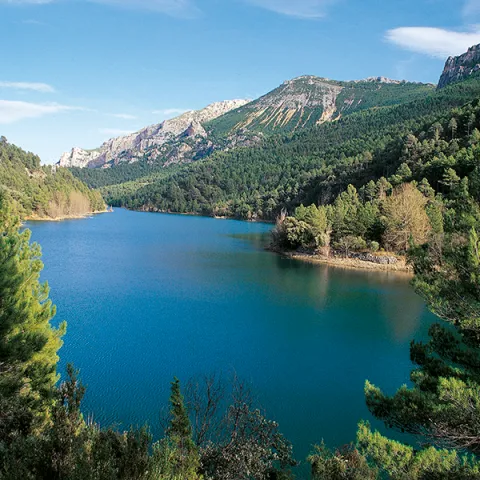
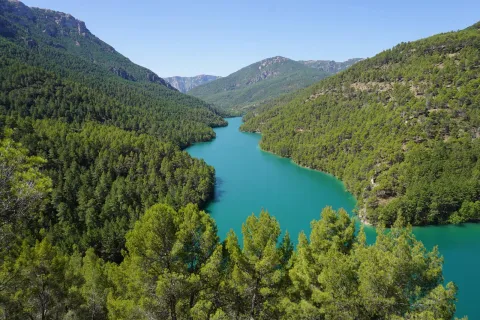
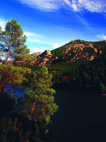
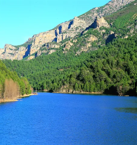
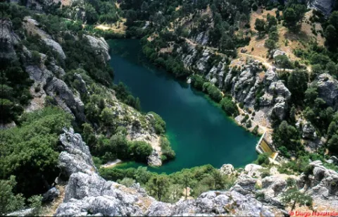
With its 53 hectares of capacity and 265 hectares of surface, it is the second largest in the park. It began to be exploited for irrigation and supply in 1972. The maximum water level is 966 m in altitude and the height of the dam on the channel is 43 m.

Breve descripción

Bread.

Ubicación
Latitud
37.789256
Longitud
-2.937727
Municipio
Ubicación en el mapa
POINT (-2.937727 37.789256)
Imágenes carrusel
imagen
Image
pantano-bolera-Sierra-Cazorla-900x603.jpg
Imagen principal
Desactivado
imagen
Image
Natu005.jpg
Imagen principal
Desactivado
Loading map
Preparing points of interest and routes...

Guadalmena Reservoir

Submitted by brandcode_deweloper on
Id
872881
Descripción
Descripción larga

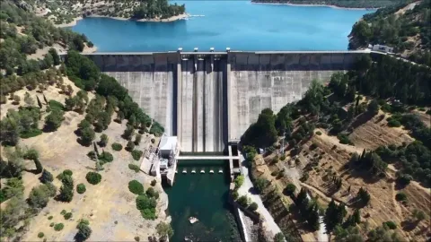
Located on the outside of the Park, this large reservoir has a storage capacity of 346.5 hm ³ and occupies an area of 1250 ha. It began operating in 1969, with supply for human consumption being the main use of unpackaged water, and irrigation and electricity production being secondary uses.

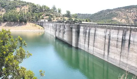
Its turbines have a production capacity of 15.2 MW / hour. The maximum water level is 594.6 m in altitude and the height of the dam on the channel is 85 m.

Breve descripción

Embalse del Guadalmena

Ubicación
Latitud
38.349338
Longitud
-2.990036
Distrito
Municipio
Ubicación en el mapa
POINT (-2.990036 38.349338)
Imágenes carrusel
imagen
Image
maxresdefault%20%287%29.jpg
Imagen principal
Desactivado
imagen
Image
Natu084.jpg
Imagen principal
Desactivado
Imágenes cabecera
imagen
Image
guadalmena.png
Imagen principal
Activado
Loading map
Preparing points of interest and routes...

Embalse de Giribaile

Submitted by brandcode_deweloper on
Id
3985611
Descripción
Descripción larga
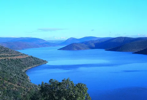
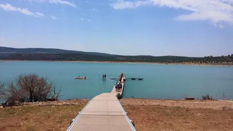
Recently built between 1993 and 1997, its dam wall stands on the slopes of the Lambra area, and its waters submerge parts of the municipal districts of Ibros, Vilches, Rus, Canena, Úbeda, Navas de San Juan and Sabiote. It holds an immense artificial lake formed by the impounded waters of the river, known as the "sea of La Loma", the second largest reservoir in Jaén and the third largest in the Guadalquivir basin, with a capacity of 475 hm³. Beneath its waters lies the submerged monumental 16th-century Puente Ariza bridge, designed by the architect Andrés de Vandelvira. Three homes were also flooded, and 12 residents had to be relocated. It is used for irrigation, fishing, swimming and electricity generation, and has a tourist jetty.
Breve descripción
The Giribaile reservoir is a dam located on the Guadalimar river, within the Guadalquivir basin, between the regions of La Loma de Úbeda and El Condado.
Ubicación
Distrito
Municipio
Imágenes carrusel
imagen
Image
2%20%282%29.jpg
Imagen principal
Desactivado
imagen
Image
3%20%281%29.jpg
Imagen principal
Desactivado
Imágenes cabecera
imagen
Image
1%20%281%29.jpg
Imagen principal
Activado

Encinarejo Reservoir

Submitted by brandcode_deweloper on
Id
2980354
Descripción
Descripción larga

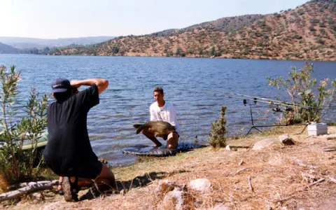
Embalse is located in the Sierra de Andújar Natural Park, in the middle of Sierra Morena, known by all Andalusian fishermen for being one of the largest swamps to practice carpfishing. With calm and clean waters, the Jandula flows into it. The most commonly seen species are tents, gypsy barbs and black bass.

Breve descripción

It is accessed by the J-5010 road from Andujar to the Sanctuary of the Virgin of the Head, diverting on a land road that leads directly to the enclave.

Ubicación
Código Postal
23740
Latitud
38.184490
Longitud
-3.985750
Dirección
Carretera A-6177
Distrito
Municipio
Ubicación en el mapa
POINT (-3.98575 38.18449)
Imágenes carrusel
imagen
Image
Natu090.jpg
Imagen principal
Desactivado
imagen
Image
BOIL-JAE-Encinarejo.jpg
Imagen principal
Desactivado
imagen
Image
Natu435.jpg
Imagen principal
Desactivado
imagen
Image
Natu410.jpg
Imagen principal
Desactivado
imagen
Image
Natu399.jpg
Imagen principal
Desactivado
imagen
Image
Natu391.jpg
Imagen principal
Desactivado
imagen
Image
Natu116.jpg
Imagen principal
Desactivado
imagen
Image
Natu346.jpg
Imagen principal
Desactivado
Imágenes cabecera
imagen
Image
Cesar%20Puente-Ortega%2016-3-05%20%281%29.jpg
Imagen principal
Activado
Microsite al que pertenece
Loading map
Preparing points of interest and routes...

Doña Aldonza y Pedro Marín Reservoir

Submitted by brandcode_deweloper on
Id
6221339
Descripción
Breve descripción

In the municipality of Jódar, next to the Natural Park of Sierra Magina, we find an important nesting population of Calamón Común. Concentrations of Black Milano in step, which rest on the saucedas during migration. Also breeding of aquatic birds, such as Common Avetorillo, Imperial Garza, Anade Friso, Anade Azulón, European Porron, Common Ciguenuela, Common Avoceta and Aguilucho Lagunero. In winter, Garcilla Bueyera, Cerceta Common, Avoceta Common, Correlimos Common, Aguja Colinegra, Archibebe Common and Duck Colorado. To highlight the high concentrations of paseriforms in sotos and carrizales, such as Common Carrier, Tordal Carrer, Moscow Bird and Buscarla Unicolor.

Ubicación
Código Postal
23500
Latitud
37.929550
Longitud
-3.311680
Distrito
Municipio
Ubicación en el mapa
POINT (-3.31168 37.92955)
Imágenes carrusel
imagen
Image
martin%20%281%29.jpg
Imagen principal
Desactivado
imagen
Image
image_content_12479651_20161109103424%20%281%29.jpg
Imagen principal
Desactivado
Imágenes cabecera
imagen
Image
Natu041%20%282%29.jpg
Imagen principal
Activado
Microsite al que pertenece
Loading map
Preparing points of interest and routes...

Dañador Reservoir

Submitted by brandcode_deweloper on
Id
4748450
Descripción
Descripción larga

It is accessed by the road that crosses the region of El Condado (A-312), there are two options: from Castellar to A-6203 after passing the cores of Aldeahermosa, Montizon and Sale of the Saints; or through the JA-9101 by Chiclana de Segura, which links with the A-6203 for Sale of the Saints.

From this last core the A-6203 is followed for 4 km. To the point of kilometer 43, where a narrow road that, after 4.5 km, leads us to the reservoir leaves to the left. From the neighbouring province of Ciudad Real it would be necessary to take the CM-3129 from Villamanrique, which at the provincial limit becomes the already mentioned A-6203.

The Environment

The Dañador reservoir, owned by the State and managed by the Ministry of the Environment, belongs to the Guadalquivir Hydrographic Confederation, and is located in the eastern end of Sierra Morena. Here the relief is low, with soft moist formations, not reaching any point in the geographical area around the 1,000 m altitude. This whole area of the Northeast of the municipality of Montizón is based on very old materials, specifically slate and quartdate of the Paleozoico de la Meseta, as this is a contact area with it.

The average rainfall exceeds 600 litres per square metre per year.
The reservoir is mainly nourished by the waters of the Dañador River, of little length (53 km.), which is born in the Province of Ciudad Real and is already in the Province of Jaén in the Guadalén River, tributary in turn to the Guadalimar and the latter of the Guadalquivir.

Since 1997, this area has been under environmental protection by the European Union called the LIC (Community Interest Place) for the characteristics of its ecosystem and the biodiversity of wild fauna and flora. Specifically this protection figure extends over an area of more than 1,700 km. squares in the north of the Province of Jaén by the basins of the Guadalén, Guadalmena and Rumblar rivers.

From a natural point of view, the importance of these spaces lies in the presence of plant formations typical of the Mediterranean mountain, some of them in good conservation, as well as the existence of phunistic species of particular interest for their scarcity. Among the first are the traditional oak oak, which is accompanied by other specimens of the genus Quercus, such as the alcornoque, the complaint and point cuts of melojo oak, species that give shelter to a sotoforest of noble Mediterranean dungeon (madroño, brezo, lentisco, cornicabra, agracejo, labiérnago, coscoja, etc.).

Also of great importance in the area are the masses of Pinus pinea and Pinus pineer from repopulation, as well as the forest formations in the gallery in the watercourses.

With regard to fauna, it is worth noting the existence of several cynetic species (deer, boar, gus, rabbits, etc.), as well as the isolated presence of some protected mammals such as the wolf, lince or meloncillo; of birds related to the aquatic environment, and of birds of special interest such as imperial eagle, royal eagle, leonate vulture or royal owl.

Breve descripción

The Dañador reservoir is located in the NE of the Province of Jaén, included in all its extension in the municipal term of Montizón.

Ubicación
Latitud
38.342195
Longitud
-3.103604
Distrito
Municipio
Ubicación en el mapa
POINT (-3.103604 38.342195)
Imágenes carrusel
imagen
Image
Embalse%20del%20Da%C3%B1ador.jpg
Imagen principal
Desactivado
Imágenes cabecera
imagen
Image
19.JPG
Imagen principal
Activado
Loading map
Preparing points of interest and routes...

Anchuricas Reservoir

Submitted by brandcode_deweloper on
Id
873053
Descripción
Descripción larga

Under these waters is the old Casicas house; the dam that created this reservoir to store water for the Miller hydropower plant was completed in 1957, and once the water of the Segura River began to pour into the house it became the home only of the trout and barbs that were born in the new reservoir.

Testimony of the continuity of the house is its church, a simple rectangular structure very damaged by the passage of time but still serenely rises from the reservoir on a mound, surrounded by oaks, pans and pans.

Leonate vultures are a common view of the reservoir; the surrounding mountains offer an ideal shelter for these rapacious birds and also provide spectacular viewpoints from which to enjoy their views. The views from Puntal de la Misa, Umbria de los Eguijones and the peak of the Mahalon are possibly the most impressive in this area.

We recommend...

  • In summer it is difficult to resist the temptation to leave the vehicle in one of the accesses to the reservoir and enjoy a bath in a true mountain lake. It is also an excellent place to practice piragüism.
  • A circular route part of the church of Las Casicas and surrounds the entire reservoir, crossing several villages with beautiful views of Anchuricas. The route is marked PR-A 128.

UBICATION

The reservoir of Anchuricas can be reached from Segura de la Sierra or Santiago de la Espada. From Segura de la Sierra, follow the provincial road JF-7038 to Rio Madera and continue towards La Toba. After passing the detour that leads to the village of La Toba, you will see the reservoir on the right. The same path leads to Miller's Boards and ascends to Santiago de la Sword.

Breve descripción

This small reservoir, attached between dense pine trees and high mountains, is a pleasant surprise for visitors because the water level is usually high and actually looks like a narrow lake. The water enters from the Segura River, once it leaves La Toba, and continues from 4 to 5 kilometres to the dam. Depending on the amount of sunlight present, the water in the tank can acquire a variety of different aspects, from an intense blue to an emerald green, which only adds to the mysteries that are already hidden under its surface.

Ubicación
Latitud
37.772886
Longitud
-3.788329
Ubicación en el mapa
POINT (-3.788329 37.772886)
Imágenes carrusel
imagen
Image
Cazorla%20anchuricas%202.jpg
Imagen principal
Desactivado
imagen
Image
Cazorla%20parque%20natural.jpg
Imagen principal
Desactivado
imagen
Image
anchuricas.png
Imagen principal
Desactivado
imagen
Image
26221616Master.jpg
Imagen principal
Desactivado
imagen
Image
Natu079.jpg
Imagen principal
Desactivado
imagen
Image
Natu080.jpg
Imagen principal
Desactivado
imagen
Image
Natu092.jpg
Imagen principal
Desactivado
imagen
Image
Natu057.jpg
Imagen principal
Desactivado
imagen
Image
Natu112.jpg
Imagen principal
Desactivado
imagen
Image
Natu380.jpg
Imagen principal
Desactivado
imagen
Image
Natu127.jpg
Imagen principal
Desactivado
imagen
Image
Natu230.jpg
Imagen principal
Desactivado
imagen
Image
Natu252.jpg
Imagen principal
Desactivado
imagen
Image
Natu253.jpg
Imagen principal
Desactivado
imagen
Image
Natu269.jpg
Imagen principal
Desactivado
Imágenes cabecera
imagen
Image
Cazorla%20anchuricas%201.jpg
Imagen principal
Activado
Loading map
Preparing points of interest and routes...

Aguas Negras Reservoir

Submitted by brandcode_deweloper on
Id
872954
Descripción
Descripción larga

In a spectacular high mountain area, right on the edge of our region with that of Cazorla, the Borosa River has a hydroelectric use composed of the tiny reservoir of Black Waters, of 0.07 hm ³, and the Electric Central of Los Organos, with a production capacity of 1.9 MW / hour. The maximum water level is 1250 m high.

Breve descripción

Black Water Embalse

Ubicación
Latitud
37.912893
Longitud
-3.003887
Municipio
Ubicación en el mapa
POINT (-3.003887 37.912893)
Imágenes carrusel
imagen
Image
3%20%281%29.jpg
Imagen principal
Desactivado
imagen
Image
1.jpg
Imagen principal
Desactivado
imagen
Image
2%20%281%29.jpg
Imagen principal
Desactivado
Imágenes cabecera
imagen
Image
Natu068.jpg
Imagen principal
Activado
Loading map
Preparing points of interest and routes...

Aguas Negras Reservoir and Valdeazores Lagoon

Submitted by brandcode_deweloper on
Id
912573
Descripción
Descripción larga

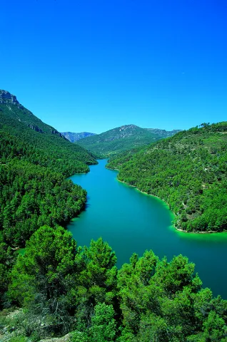
By coming down from Collado Bermejo you will first find the Lagoon of Valdeazores, a natural stagnation of the stream of the same name that has been repressed with a wall at its bottom. The lagoon is an intense turquoise blue, surrounded by nozzles, strawberries, complaints and maples.

About 800 meters later you will find the reservoir of Aguas Negras, another paradoxical place where a dam was built years ago for the hydroelectric use of the Borosa River.

Crossing the dam and walking a few hundred meters you can reach the birth of Aguas Negras - or the birth of Boros- an emergency that helped by the Arroyo del Inferno gives rise to some of the most important tributaries of Guadalquivir in its high stretch.

We suggest:

  • From the Interpretation Centre of the Borosa River (next to the farm), a well-known route to the reservoirs, passing through the Cerrada de Elias and the leap of the Organs. If you have time, give a day to this spectacular route.
  • Visit the San Pedro Navy by the way we had brought to the hill of Fuente Bermejo.

In Cazorla take the Sierra road (A-319) until the crossing known as the Empalme del Valle. Turn right on the JF-7092 road and after passing the bridge over the Guadalquivir River (4 km from the Empalme) follow the left track (JF-7091). We go through the Nava del Espino, the Nava de San Pedro, the Nava Ciazo and follow in the direction of the Campos, but before we reach them, on the Collado de la Fuente Bermejo a road to the left takes us to the lagoons.

Breve descripción

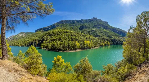
The natural wealth and beauty of these two sites have made them visited by an infinite number of hikers in recent decades; but this pressure has not prevented the lagoons from remaining unique and beautiful. You are in one of the areas of maximum protection of the Park, an extremely delicate ecosystem that has favored this explosion of biodiversity: real anades, seals and petirrodes find an ideal shelter in these "ponds" and in the vegetation surrounding them.
Ubicación
Nombre
Embalse Aguas Negras
Latitud
37.912893
Longitud
-3.003887
Municipio
Ubicación en el mapa
POINT (-3.003887 37.912893)
Tipos de punto de interés
Imágenes carrusel
imagen
Image
lagunas-de-aguas-negras-cazorla-2-jpg
Imagen principal
Desactivado
imagen
Image
lagunas-de-aguas-negras-cazorla-1-jpg
Imagen principal
Desactivado
Imágenes cabecera
imagen
Image
lagunas-de-aguas-negras-cazorla-3-jpg
Imagen principal
Activado
Loading map
Preparing points of interest and routes...

El Sobrante

Submitted by brandcode_deweloper on
Id
4749697
Descripción
Descripción larga

How to get there

Taking the asphalt road that leaves Montizon, you reach a fenced area without a door; from there the road is ground to the Sobrant. There are indicators that signify the itinerary. It can be accessed by vehicle tourism.

Breve descripción

This enclave is a good example of typical Mediterranean forest, as it is placed in the massif of Sierra Morena. In it you can enjoy in situ the flora and fauna characteristics of this saw and beautiful views. It also has a recreational area with concrete and stone tables and chairs, shadows, children's playground and a large swimming pool to refresh.

Ubicación
Latitud
38.401975
Longitud
-3.128758
Dirección
Camino de Toribio
Distrito
Municipio
Ubicación en el mapa
POINT (-3.128758 38.401975)
Tipos de punto de interés
Imágenes cabecera
imagen
Image
22.jpg
Imagen principal
Activado
Loading map
Preparing points of interest and routes...