Saltar al contenido principal
icon-intereses-cultura

Domus Herculana

Submitted by brandcode_deweloper on
Id
10888623
Descripción
Descripción larga

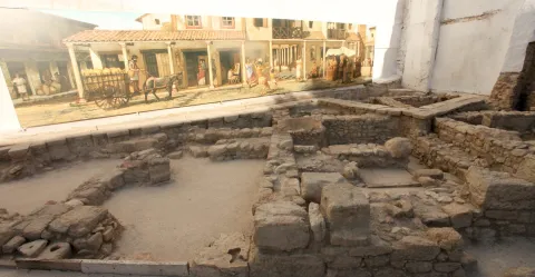
Because of the size, this Roman site is possibly a vicus or village, a settlement with a double rural and urban character; which, even of unknown size, had to be greater than a Roman village and was related to other defensive settlements of the same time that are known in the area.

The appeal of "Domus Herculana" is due to the great building (domus) in which the main findings of the site related to the Roman Hercules god were found, as a domus was a type of Roman house corresponding to families with a certain economic level.

With regard to the Roman field, its remains correspond to different levels of occupation, being the main ones corresponding to a first stage, which would range from the 1st to the 3rd century BC, and a second century, during the 4th century BC and V century BC. The levels of this second stage are based on remnants of fire episodes. It is recorded that the domus, suffered at least two important moments of destruction, the first at the end of the second half of the 3rd century d. C. (260-269), caused by a major fire, and the other in the 4th century d. C, after the time of Emperor Constantine I. After this second incident there is no indication of new populations.

Among the main findings, a small marble Hercules is part of the Roman art collection of the National Archaeological Museum in Madrid. The head of a fauno and a high relief of a Hercules with dog found in the Abacial Palace Museum have also been found.

Breve descripción

The Domus Herculana is an interesting Roman site inserted in the heart of the municipality with a marked mythological theme focused on the figure of the god Hercules.

Telecomunicaciones
Sitio web
www.turismo.alcalalareal.es/
Teléfono de contacto
953 102 868 / 953 580 000
Correo electrónico
turismo@alcalalareal.es
Ubicación
Código Postal
23680
Latitud
37.465429
Longitud
-3.924912
Dirección
C/ la Tejuela
Distrito
Municipio
Ubicación en el mapa
POINT (-3.924912 37.465429)
Tipos de punto de interés
Imágenes carrusel
imagen
Image
domus%20h-min.jpg
Imagen principal
Desactivado
imagen
Image
Domus-min-min.jpeg
Imagen principal
Desactivado
Imágenes cabecera
imagen
Image
1111.jpeg
Imagen principal
Activado
Horario
Monday to Friday: 09: 00 - 15: 00 and 16: 00 - 20: 00. Office of Tourist Information: Monday to Friday 10: 00 - 18: 00.
Loading map
Preparing points of interest and routes...

Dolomites of the Presa de la Vieja

Submitted by brandcode_deweloper on
Id
876025
Descripción
Descripción larga

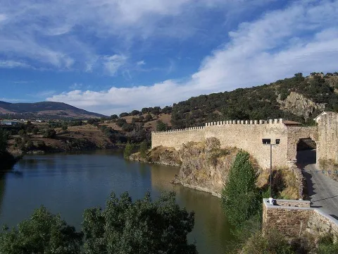
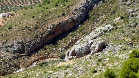
Aflation of the upper Cretaceous dolomies, which form a small ruiniform relief, as they are in contact with margous materials of the Ambient (facies "utrillas"), in the east, and attached to a meandro of the Zumeta River in the west.

At this point there is an old dam, which gives a special charm to the place. The Zumeta River is the border of the province of Jaén, and of Andalusia, with the province of Albacete in that area, so that the eastern margin of this area already belongs to Castilla - La Mancha.

Source: Inventory of Georresources of Andalusia. Environmental Council. Junta de Andalusia.

Breve descripción

Old-Age Dolomies

Ubicación
Latitud
37.772886
Longitud
-3.788329
Ubicación en el mapa
POINT (-3.788329 37.772886)
Tipos de punto de interés
Imágenes carrusel
imagen
Image
12939.jpg
Imagen principal
Desactivado
imagen
Image
184219_molino-de-la-norberta_0772102001456948645_o.jpg
Imagen principal
Desactivado
Imágenes cabecera
imagen
Image
embalse_lavieja.jpg
Imagen principal
Activado
Loading map
Preparing points of interest and routes...

Dolomites of the Piedra de los Agujeros

Submitted by brandcode_deweloper on
Id
875964
Descripción
Descripción larga

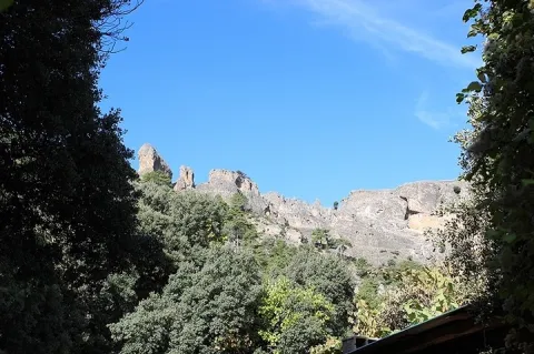
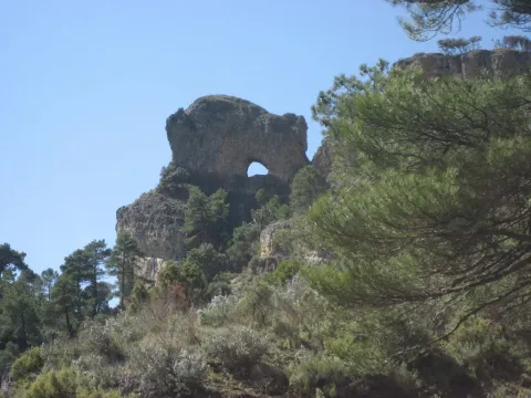
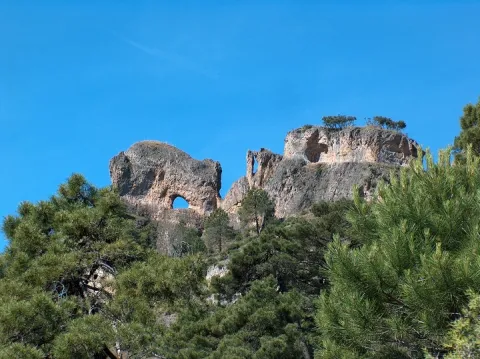
The dolomies of the upper Cretaceous of the Prebetic in the Sierra de Segura afloat extensively, configuring much of the main reliefs of it. In the sector of Siles there is an North-South mountain alignment, the main reliefs of which are Navalperal (1620 m) and Bucentaina (1395 m).

Between them is the peak called "Hole Stone" (1290 m), which is a magnificent example of ruiniform relief in dolomies. These are dolomies with subhorizontal stratification with several caves that cross the peak, and with a very well developed "dentado" relief.

Source: Inventory of Georresources of Andalusia. Environmental Council. Junta de Andalusia.

Breve descripción

Dolomies of the Hole Stone

Ubicación
Latitud
38.387861
Longitud
-2.582637
Distrito
Municipio
Ubicación en el mapa
POINT (-2.582637 38.387861)
Tipos de punto de interés
Imágenes carrusel
imagen
Image
piedras%20%281%29.jpg
Imagen principal
Desactivado
imagen
Image
9100370.jpg
Imagen principal
Desactivado
Imágenes cabecera
imagen
Image
siles%20%281%29.jpg
Imagen principal
Activado
Loading map
Preparing points of interest and routes...

Gorge of Puerta Arenas

Submitted by brandcode_deweloper on
Id
7991049
Descripción
Descripción larga

Location: On the highway of Granada, just at the limit of the municipal terms of Campillo, Cárcheles and Cambil.

Distance: 7 km.

Medium: Tourism vehicle.

Access: Directly via the Granada Highway (A-44)

Breve descripción

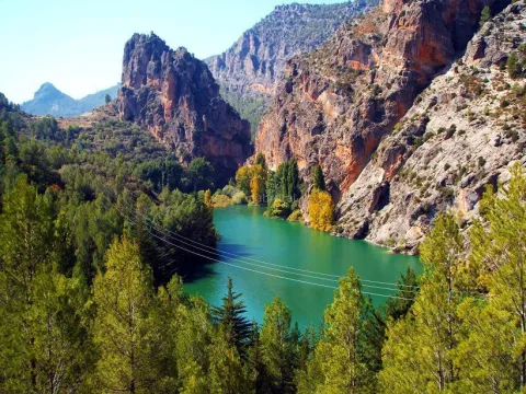
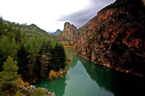
The river erosion, which has a limestone wall of about 400 meters high, is the result of the river erosion. There is a teaching path dedicated to local botany.

Telecomunicaciones
Sitio web
www.campillodearenas.es/el-municipio/patrimonio-natural.html
Teléfono de contacto
953 309 004
Correo electrónico
general@campillodearenas.es
Ubicación
Nombre
Hierro
Código Postal
28340
Latitud
37.555820
Longitud
-3.635560
Dirección
Campillo de Arenas
Distrito
Municipio
Ubicación en el mapa
POINT (-3.63556 37.55582)
Tipos de punto de interés
Imágenes carrusel
imagen
Image
Desfiladero%20de%20Puerta%20Arenas.jpg
Imagen principal
Desactivado
imagen
Image
Desfiladero%20de%20Puerta%20Arenas2.jpg
Imagen principal
Desactivado
Imágenes cabecera
imagen
Image
Desfiladero%20de%20Puerta%20Arenas3.jpeg
Imagen principal
Activado
Microsite al que pertenece
Loading map
Preparing points of interest and routes...

Gorge of Despeñaperros

Submitted by brandcode_deweloper on
Id
4555232
Descripción
Descripción larga

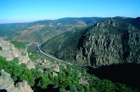
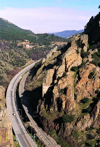
The river erosion, which has a limestone wall of about 400 meters high, is the result of the river erosion. There is a teaching path dedicated to local botany.

Location: On the highway of Granada, just at the limit of the municipal terms of Campillo, Cárcheles and Cambil.

Distance: 7 km.

Medium: Tourism vehicle.

Access: Directly via the Granada Highway (A-44).

Breve descripción

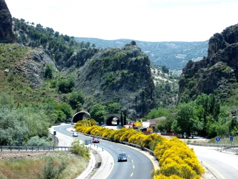
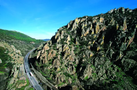
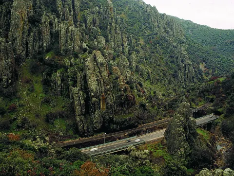
TheDespeñacolos parloris a great geological formation that makes the border between the plains of Castilla la Mancha and the Valle del Guadalquivir, declared Natural Park. Many of you will have been able to observe as you pass through the road that passes through Despeñacolos, the great mouth open in the rock caused by the erosion of the river's channel, on which the old route was built, which communicates Andalusia with the neighbouring community.

Ubicación
Código Postal
23213
Latitud
38.409930
Longitud
-3.560880
Distrito
Municipio
Ubicación en el mapa
POINT (-3.56088 38.40993)
Tipos de punto de interés
Imágenes carrusel
imagen
Image
Natu268.jpg
Imagen principal
Desactivado
imagen
Image
Natu140.jpg
Imagen principal
Desactivado
imagen
Image
Natu169.jpg
Imagen principal
Desactivado
imagen
Image
Natu176.jpg
Imagen principal
Desactivado
imagen
Image
Natu229.jpg
Imagen principal
Desactivado
imagen
Image
Natu232.jpg
Imagen principal
Desactivado
Imágenes cabecera
imagen
Image
Natu016.jpg
Imagen principal
Activado
Loading map
Preparing points of interest and routes...

Summits

Submitted by brandcode_deweloper on
Id
881988
Descripción
Descripción larga

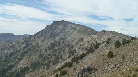
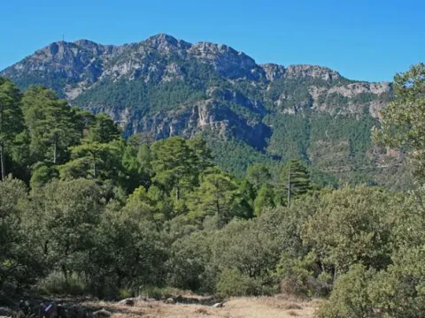
The summits of the Park leave an unbeatable mark on the memory of those who visit them. Among them are the Empanadas (ceiling of the Park with its 2107 m altitude), the Cabañas, the Banderillas, the Blanquillo, the Yelmo, the Almorchón, the Palomas, the Gilillo and the Rayal, among others.

The tops are an exceptional ecosystem, due to the special adaptation that living beings must suffer. Over 1800 m of altitude, a number of climatic, edaphic, orographic and geographical conditions match that make its vegetation unique. The first thing we'll see is that there are no forests. At this point the wind, the very low temperatures, the snow and the little soil available make the development of the trees impossible. The vegetation is reduced to woody matas attached to the ground with a motilated look. They are the piornal and other smaller, whitish rakes. This vegetation is called whitish.

So between blancizales and piornals have settled the summits of the Park. These blanks are made up of species that are covered with a white toment, to protect themselves from the high radiation that exists at that height in the summer and from the strong winter frost. Among them are notable bethic and local endemisms without a vernacular name such as Hormatophylla baetica, Andryala agardii, Santonina elegans, Convolvulus boissieri, Arenaria tetrachetra, Scorzonera albicans, Pterocephalus spatulathus, among others.

The piornal is made up of a series of plant species with an igloo-shaped look to support the wind and the weight of the snow. Among the species of piorns are the blue piorno or cambrón (Erinacea anthyllis), the old scrapes (Hormathophylla spinosa), the fine pyrone (Echinospartum boissieri) and others without a vernacular name such as the Astragalus nevadensis nevadensis and the Genista longes. Among these two formations are the lastonar, plant formation dominated by a gramline, the laston (Helictotrichum filifoliun), which colonizes the most degraded areas of the high mountain and the summits of the Park.

A much more comfortable option than the two we suggest is to climb to the Yelmo summit, accessible by car. The ecological and landscape characteristics are similar, and the views are extraordinary, but the ease of access is paid with the inevitable landscape degradation of the buildings of repeaters, antennas, etc. installed at the summit.

LOCATION OF THE EMPLOYMENT

Let's go to the summits selected for this section, one of them is the summit of the summits, El Empanadas, which with its 2107 m altitude is the roof of the Park. To get up you need to have good physical form and take time. We must approach by vehicle, by forest track to the tornadoes of Rambla Seca. If we come from the saw of Cazorla, we will reach the road of the Navy of San Pedro, to a control that has a fenced with a door. We open it and a few meters later we find the aforementioned tornips on our right. If we arrive from the Segura saw, we must cross the fields of Hernán Pelea to Rambla Seca. Next to the tornajos comes a track, already in worse condition, that we must do walking if we do not have an SUV. Through it we go into a valley in whose end we find the ruins of the old forest house of the Cabrilla. From here, already necessarily on foot, we will follow the stream that passes by and we go back. Soon we started going up a ramp. When we reach the hill we will continue to climb to our right, until we reach the top. All the way up we will see how the pineapple of larices or salgareños is being made clear to disappear and an impressive piornal, with rareras and rake juniper, will accompany us to the summit.

_

To reach this point, less effort is needed, but it does not lose its beauty. The Crow Stone (1820 m) is in the Calar de Gila. To access, we must take the lead from the birth of the Segura to Cañada de la Cruz and follow it to the entrance to this enclave. This track is surrounding the northeastern part of the Cañada until you reach a crossing with a track to our right. The first crossing that we are on the right is the track that takes us to Hoya Maranza to Hoya Espinosilla and to the road that links Pontones with Santiago de la Sword. This track has a little over 6 km, but we won't go through it all. Once at it, about 3 km away, we find a crossing to our right that leads us to a small aerodrome, where they can land planes. It is easy to detect, and once in it, in a south direction we are raised a rock as a monolith, which is the Crow Stone.

Breve descripción

Crow Stone and Empanade Summit

The summits of the Park leave an unbeatable mark on the memory of those who visit them. Among them are the Empanadas (ceiling of the Park with its 2107 m altitude), the Cabañas, the Banderillas, the Blanquillo, the Yelmo, the Almorchón, the Palomas, the Gilillo and the Rayal, among others.

Ubicación
Latitud
37.912893
Longitud
-3.003887
Municipio
Ubicación en el mapa
POINT (-3.003887 37.912893)
Tipos de punto de interés
Imágenes carrusel
imagen
Image
unnamed.jpg
Imagen principal
Desactivado
Imágenes cabecera
imagen
Image
P1170408.JPG
Imagen principal
Activado
Loading map
Preparing points of interest and routes...

Peñalta Summit

Submitted by brandcode_deweloper on
Id
8091185
Descripción
Descripción larga

Location: to the southeast of the city centre, in Cerro Peñalta.
Distance: 3.5 km.
Half: on foot.
Access route: first take the Honda Bridge road and turn right along the Peñalta road.

Breve descripción

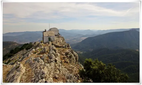
It is the highest point in the municipality of Benatae (1.412 m.), where there is a fire surveillance shed and from which you can see impressive landscapes of the Natural Park of Cazorla, Segura and Las Villas.

Telecomunicaciones
Sitio web
www.benatae.es/el-municipio/patrimonio-natural.html
Teléfono de contacto
953 480 378
Correo electrónico
benatae@promojaen.es
Ubicación
Nombre
Cerro Peñalta
Latitud
38.338650
Longitud
-2.638400
Distrito
Municipio
Ubicación en el mapa
POINT (-2.6384 38.33865)
Tipos de punto de interés
Imágenes carrusel
imagen
Image
Pe%C3%B1alta2.jpg
Imagen principal
Desactivado
imagen
Image
Pe%C3%B1alta3.jpg
Imagen principal
Desactivado
Imágenes cabecera
imagen
Image
Pe%C3%B1alta.jpg
Imagen principal
Activado
Loading map
Preparing points of interest and routes...

El Yelmo Summit

Submitted by brandcode_deweloper on
Id
912527
Descripción
Descripción larga

The slopes of the Yelmo are covered by dense pine trees, as well as some oak trees and mixed forests of both species. The complaint is abundant and at some points you will also be surprised by beautiful maples. In the summit area, often visited by the mountain goats, only the piornos and some small, twisted larix pine survive.

The Yelmo is the epicenter of the International Air Festival, an original event that brings together thousands of people, from the neighbors of the villages closest to pilots from different countries, attracted by many different activities.

The summit is accessible by car by a narrow asphalt forest track that is accessed from the village of Robledo, near Cortijos Nuevos. We strongly recommend you to walk up at least the last miles, because you can appreciate the beauty and purity of the environment much more intensively.

You can also access from the area of the Campillo, on the opposite side, next to the road JF-7016. This access is based on an altitude above the first and also has an asphalt track, although we recommend walking along the signposted route PR-A 194, whose 3 km of one way we will travel in about an hour and twenty minutes.

Breve descripción

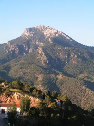
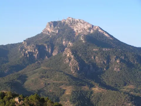
The Yelmo is the most popular and emblematic summit in the northern part of the Natural Park due to the amazing views enjoyed from its summit, at 1.809 m of altitude. From it we see the vast forests of the entire Natural Park, the distant Albaceteña and granadine summits and the manchegos plains. In the harmonious set of forests and olive groves in the low areas, the beautiful villages of Hornos de Segura and Segura de la Sierra, as well as the waters of the Tranco reservoir, stand out in view of a bird. It is also an international reference for the world of free flight, since it has a take-off that meets a great condition for the practice of this sport.

Ubicación
Latitud
38.298857
Longitud
-2.651877
Distrito
Ubicación en el mapa
POINT (-2.651877 38.298857)
Tipos de punto de interés
Imágenes carrusel
imagen
Image
image_174764.jpeg
Imagen principal
Desactivado
imagen
Image
image_174810.jpeg
Imagen principal
Desactivado
Imágenes cabecera
imagen
Image
main_image_64735.jpeg
Imagen principal
Activado
Loading map
Preparing points of interest and routes...

Caves Refugio

Submitted by brandcode_deweloper on
Id
8124859
Descripción
Descripción larga

When Franco passed through Lopera in the 1950s he ordered that new houses be demolished and built for his tenants in the Pradillo Guijoso neighborhood, the front of the first body was finally only demolished. Some are currently abandoned and others have been occupied by Lopera's neighbours by keeping firewood or coal inside.

Breve descripción

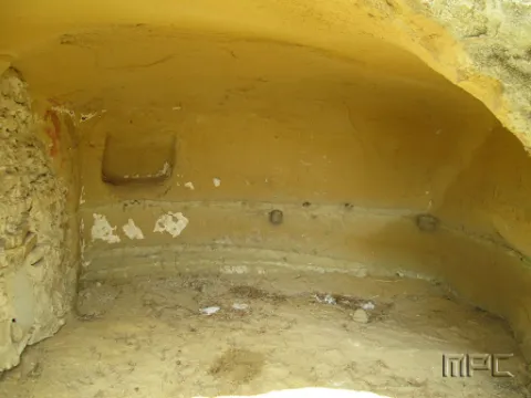
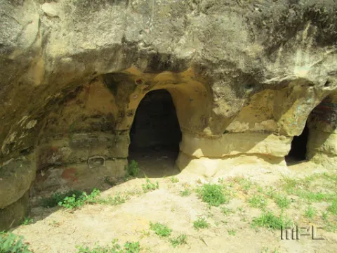
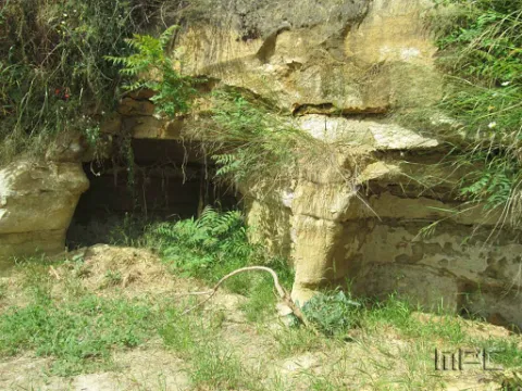
The 11 caves at the entrance were used as shelters during the Civil War. They date back to 1828 and had several bodies.

Telecomunicaciones
Teléfono de contacto
953 516 250
Ubicación
Código Postal
23780
Latitud
37.941620
Longitud
-4.209160
Dirección
Carretera de Porcuna
Distrito
Municipio
Ubicación en el mapa
POINT (-4.20916 37.94162)
Tipos de punto de interés
Imágenes carrusel
imagen
Image
Cuevas%20refugio%202.jpg
Imagen principal
Desactivado
imagen
Image
Cuevas%20refugio.jpg
Imagen principal
Desactivado
Imágenes cabecera
imagen
Image
Cuevas%20refugio%203.jpg
Imagen principal
Activado
Loading map
Preparing points of interest and routes...

Chato and Baltibañas Caves

Submitted by brandcode_deweloper on
Id
7983397
Descripción
Descripción larga

Location: West of the city centre.
Distance: 7.5 km.
Medium: In vehicle tourism and on foot.
Access route: by road and mountain road.

Breve descripción

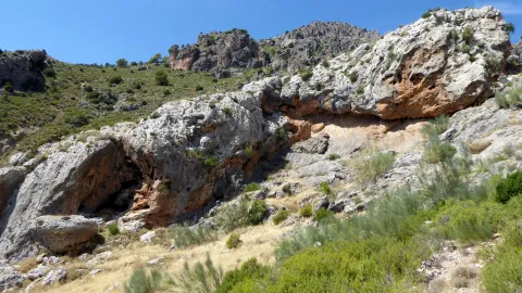
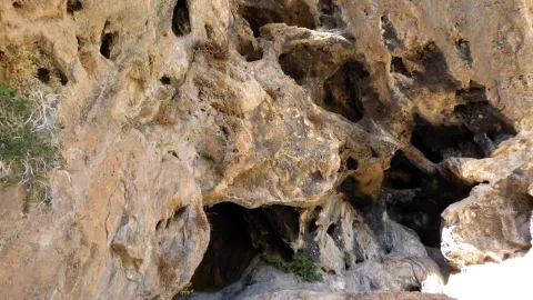
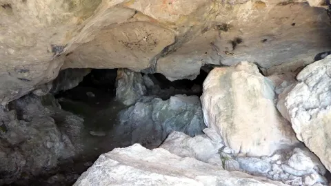
Natural environment consisting of a Mediterranean mountain area with high-value geological and geomorphological formations. It is only for experts in spelological activities.

Telecomunicaciones
Sitio web
www.belmezdelamoraleda.es/el-municipio/patrimonio-natural.html
Ubicación
Código Postal
23568
Latitud
37.724150
Longitud
-3.382370
Dirección
Av. Jaén
Distrito
Ubicación en el mapa
POINT (-3.38237 37.72415)
Tipos de punto de interés
Imágenes carrusel
imagen
Image
18431341Master.jpg
Imagen principal
Desactivado
imagen
Image
18431342Master.jpg
Imagen principal
Desactivado
imagen
Image
18431339Master.jpg
Imagen principal
Desactivado
Imágenes cabecera
imagen
Image
18431305Master.jpg
Imagen principal
Activado
Microsite al que pertenece
Loading map
Preparing points of interest and routes...