Trail Ravine of Valdeazores
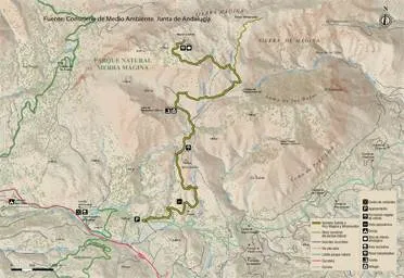
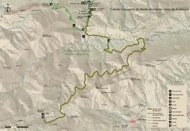
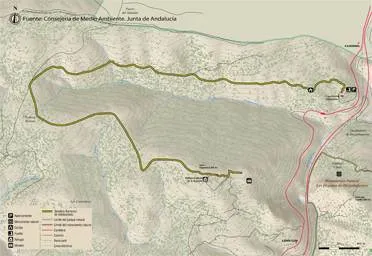
We will have to be located in the forest house of Valdeazores, which is accessed from the A-4 motorway, only in the sense of Madrid- Cádiz, by a track that leaves to the right in the km 245.3, two hundred meters after passing the signal that indicates the entrance to Andalusia and shortly before the lookout of the Garden of Despeñacolos. We will climb three hundred meters along this track until we reach a forest house, from which parking is on the path.
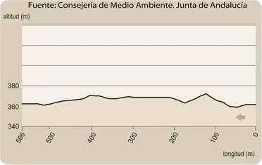
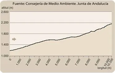
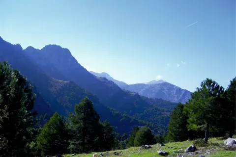
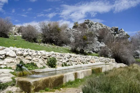
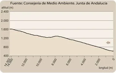
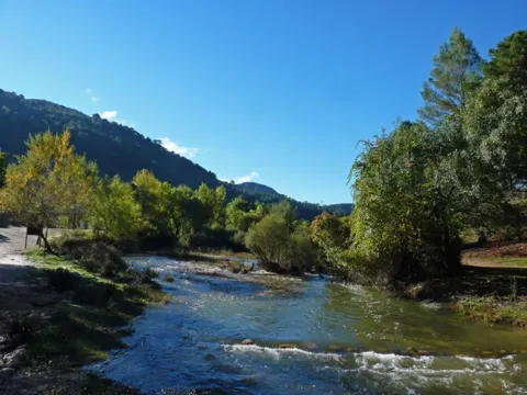
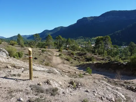
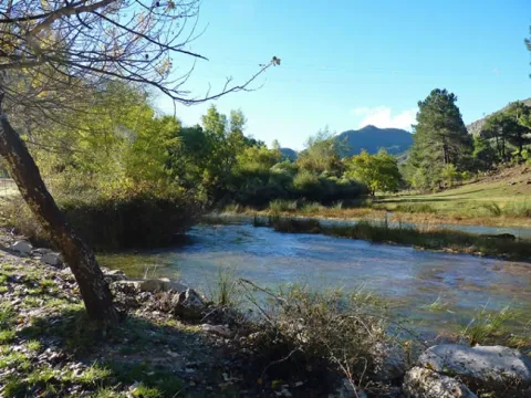
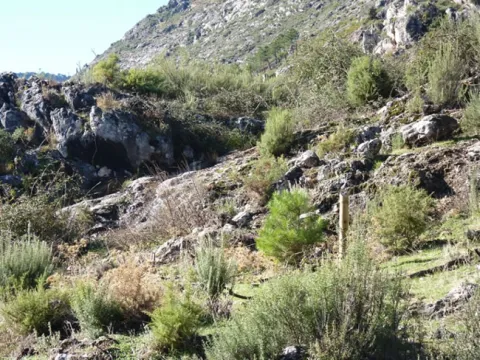
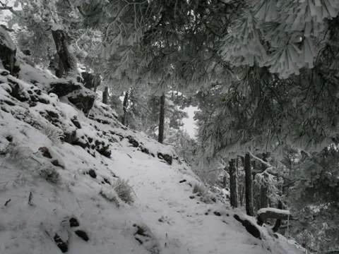
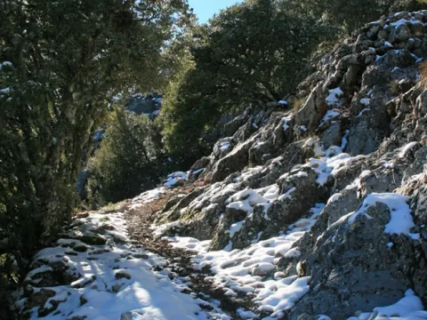
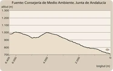
We will go north, but at the very least we will be heading towards the west, which is the one that we will keep in the first half of the way to the head of the Valdeazores stream, following at first a water drive. As in much of the way, we will go up a smooth but continuous slope. We will see mixed forests around us that are the result of repopulations, in which pine trees abound in the solanas, and cypresses in the umbria. The indigenous vegetation is gaining ground with the height, also remaining in important stains on the other side of the stream - dark - that have a humid Mediterranean mountain with oaks, alcornoques, complaints, oaks, or oaks. On the riverside there are formations in a gallery of alles and strawberries, splintered with willows, tampas and tampas.
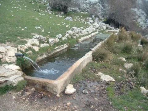
When we have already walked about two and a half miles, we reach a chestnut in which there is a spring that supplies the driving that accompanied us. It is a good place to rest and enjoy the beak of expired leaves, taking strength to continue with the rise. A kilometer later, already at the head of the stream, we will give with the track that goes down from the port of Muladar to the castle of Castro Ferral, which is located about a mile away. We can choose to approach this medieval fortress that protected the passage of La Losa, which was finally taken to the Almohades by Christian armies in the framework of the battle of the Saves of Tolosa. It is in ruins because it was later abandoned and destroyed to prevent its use by outlaws.
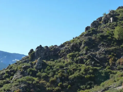
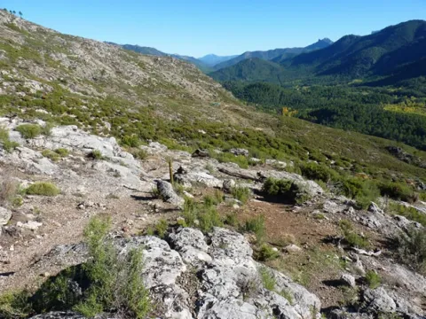
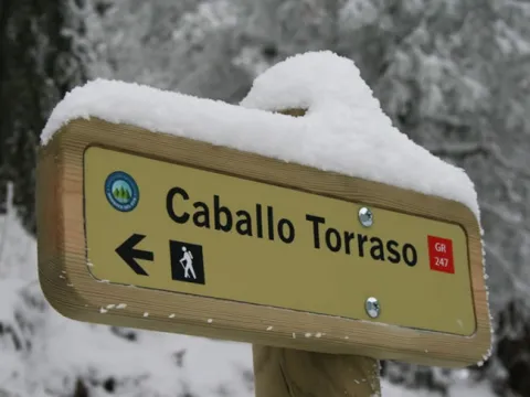
If we rule out the variant of the castle on the track we will only do about 50 meters, and we will leave it on a road that leaves it to the right in the direction of the Aviation Collado, as the signs indicate, completing a 180º turn that will set us to the east, walking on the crest of the right bank of the ravine. The humid Mediterranean mountain we saw from the other side is below us, which now again we are surrounded by pine trees.
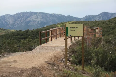
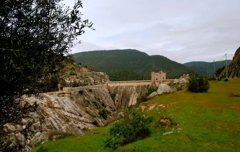
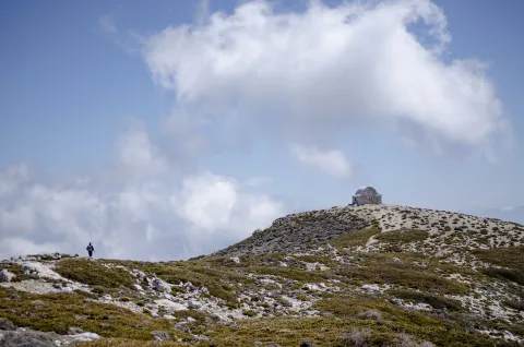
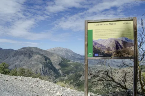
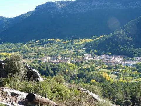
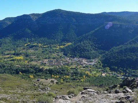
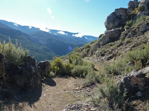
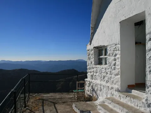
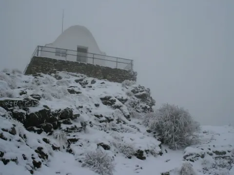
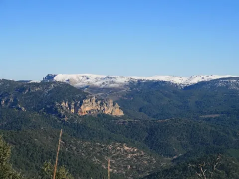
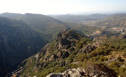
We will walk two and a half miles further to crown the hill of Los Organos (natural monument), where there is the refuge of the Aviation Collado, a small air surveillance post of the Civil War, later used by pastors and fire devices. Following the path that continues in the same direction that we brought, we will cross a bosquet of pine trees, oaks, alcornoques and moans, to go out to a clear place where there is a small lookout with magnificent views of the Despeñacolos parade, which is where the path ends.
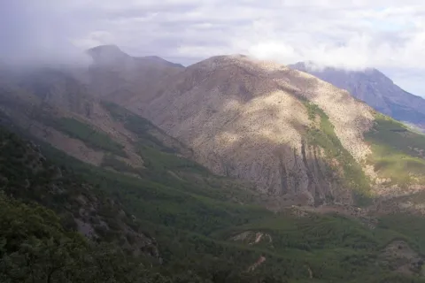
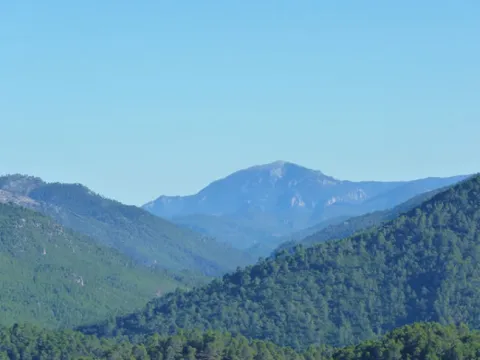
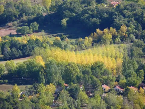
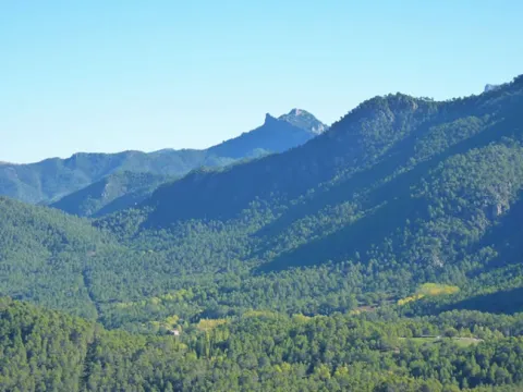
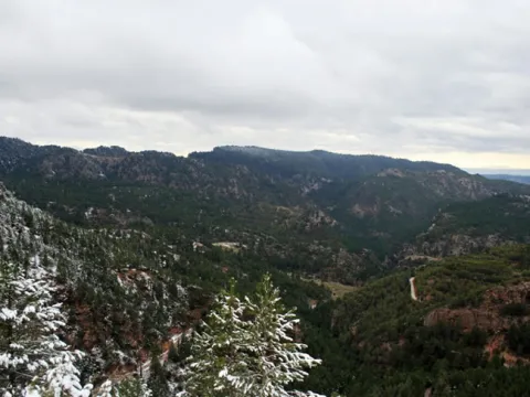
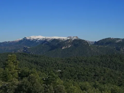
The Valdeazores stream has a short perpendicular route to the Despeñafueros parlor, where it flows. The path borders its entire basin, a ravine of regular forms covered in one part by a rich and diverse Mediterranean mountain, and in another by coniferous introduced by forest populations. To the considerable natural values of the place are added other of historical or cultural type, related to the strategic character of the parade, from which we will have juicy views from a viewpoint located on it.
It is recommended to wear safe drinking water and clothing and adequate footwear. Ensure the potability of the water from the sources. This path can be realized throughout the year. In summer, due to the special conditions of height, the insolation is very strong and requires important solar protection.
- Parade and step of Parade.
- Arroyo de Valdeazores
- Ruins of the medieval Castle of Castro Ferral
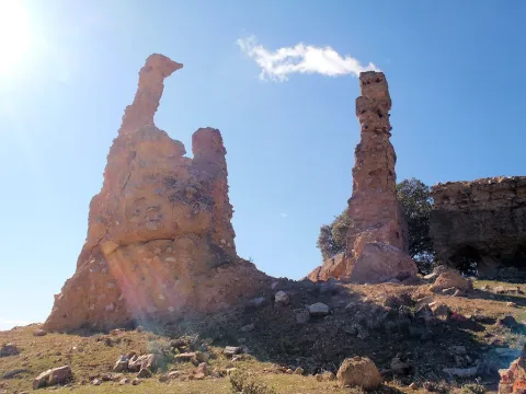
- Natural Monument of the Organs
On the A-4 highway, towards Cadiz, we will take the track that goes right in the km. 245.3, about two hundred metres from the signal that indicates the entrance to Andalusia, which will take us - after going 300 meters - to the forest house of Valdeazores, next to which the path begins.