Route cicloturista de Andújar a Baños de la Encina
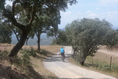
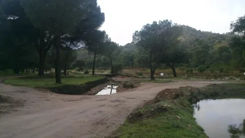
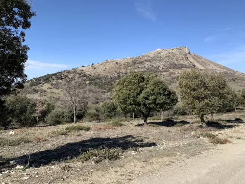
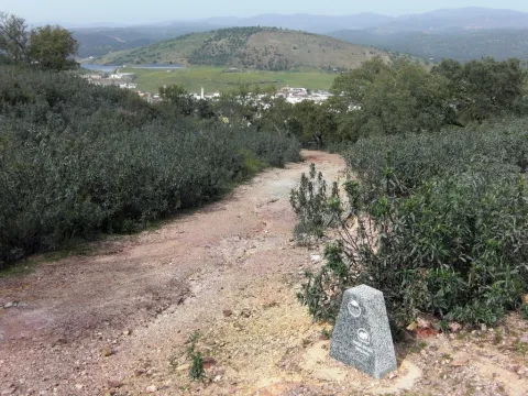
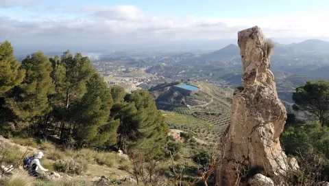
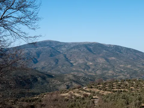
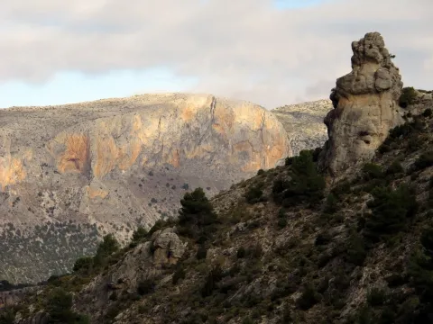
We left Andujar in the direction of the Peñallana vineyards through the Ctra. J-501. In the km. About 14,400, after passing the Los Pinos Restaurant, we take a road that comes out to the right; we go into it we will get to Los Escoriales, leave to our left a dish of bulls or tentadero and, at about 100 m., we will get a track to the right that we will take; here we can observe an interesting darkness occupied preferably by alcornocals, at some points as a mature or climate community on a sediment-type substrate. When we begin to descend, we will leave to our right the Cerro del Moro, an elevation that maintains a well-developed shroud, we will pass through the house of the Gorgojil and the Nava de Andújar, dehesa ganadera and place of transit that allows to observe the typical topographic relief of Sierra Morena and the crops of the geological domain of Guadalquivir, coming to the reservoir of the Rumblar, a sheet of water perfectly attached to the steep relief and, from here, to Baños de la Encina, one of the four municipalities that make up the Natural Park of Sierra de Andújar, the whole of the city of the town of the city of the city of the city of the city of the city of the city of the town of the city of the city of the city of the town of the city of the city of the town of the city of the city of the town of the city of the city of the city of the city of the town of the town of the town of the town of the town of the town of the town of the town of the town of the town of the town of the town of the town of the town of the town of
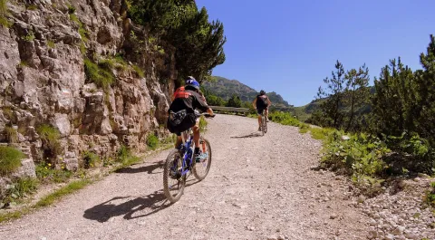
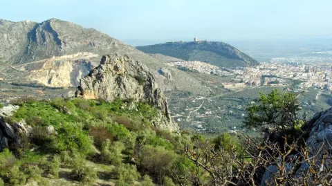
Unbeatable views of the local castle. First Km by road and soft profile.
Stage without any complication.