
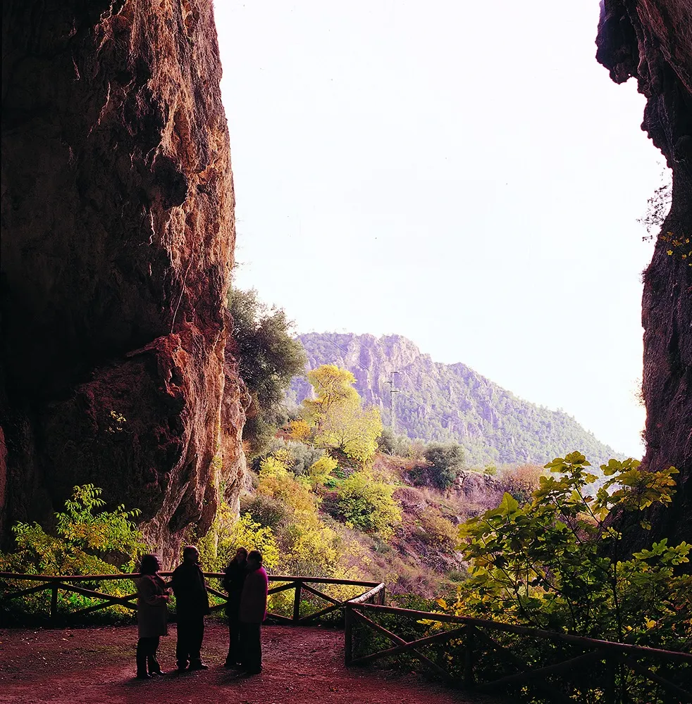

The far south of the Natural Park is full of surprises. In barely an hour you will travel through 10,000 years of geological history, passing from almost alpine habitats to semi-desert landscapes. Between these two worlds lies the miracle of water: the remarkable Cueva del Agua de Tíscar, very close to the mountain pass and sanctuary of the same name. One of these two worlds, the upper one, is so rich in flora and fauna that most of it is part of a Reserve Area and is home to a group of black pines listed as the oldest trees on the Iberian Peninsula. The other world, the lower one, will evoke the magic of one of Europe’s few semi-desert environments.
The south of the park is made up of four mountain ranges. The sierras of Cazorla, El Pozo, Quesada and La Cabrilla are well-defined mountain units, separated by deep ravines and small valleys that give the landscape a surprisingly alpine look. But the Natural Park does not end there. To the west, the river Guadiana Menor flows through a wide, arid valley with a desert-like appearance, as if it were a jigsaw piece found in the wrong box. It is hard to imagine such an abrupt contrast in landscape over such a short distance.
This diversity of landscapes and habitats in such a small area is the defining feature of this part of the park. Long after the mountains of the Sierra del Pozo and Sierra de Quesada were formed, just 20,000 years ago, the whole region was covered by a huge inland lake that collected mud and sediment from those mountains. But around 11,000 years ago, a massive movement of the Earth’s crust tilted the region, the rivers changed course and the lake disappeared, leaving behind its sandy bed. The steppe-like Guadiana Menor Depression is the result of these geological events.
Since then (a mere blink of an eye in geological terms), the rivers of the former basin joined to form the Guadiana Menor, one of the main tributaries of the Guadalquivir.
In this short time, the water has eroded the impermeable clays, laden with gypsum and salts, of the old lake bed, creating drops of up to 400 metres. In addition, the rain-shadow effect created by the surrounding mountains makes this valley one of the driest areas in Europe, with average rainfall of no more than 300 mm a year.
Rising from the almost bare clays is the Sierra del Pozo, one of the best-preserved areas of the entire Natural Park, which is why almost all of it lies within the Navahondona-Guadahornillos Reserve Area. This mountain range is home to all kinds of woodland and plant communities, with alpine habitats on the summits and a humid mountain climate. At the foot of Pico Cabañas lies the Puerto Llano pine forest, where rainfall exceeds 1,600 mm. This monumental botanical site contains the thirty oldest trees on the Iberian Peninsula, according to studies by the Spanish National Research Council (CSIC). The most incredible thing is that between these two very different worlds, the desert and the high-mountain forest, there are barely 10 km as the crow flies. Can anyone top that?
